

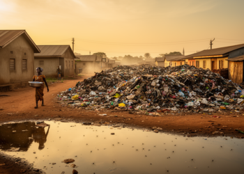
Living Near a Dumpsite Raises Malaria Risk in Ghana’s Urbanising Communities
A new GIS-based study in Ghana's Dormaa Central Municipality finds that malaria occurrence consistently declines with increasing distance from solid ...
A new GIS-based study in Ghana's Dormaa Central Municipality finds that malaria occurrence consistently declines with increasing distance from solid ...

A nine-year panel of 1,787 Chinese counties shows that hospital bed numbers surged while relative planning-supply mismatch barely changed, with ...

A proxy-indicator framework using freely available spatial data maps habitat, recreation and aesthetic services across 25 Hungarian fishpond complexes, revealing ...

Researchers combined GIS and the Analytic Hierarchy Process to map earthquake risk in Turkey's Çemişgezek District, finding that danger concentrates ...

A global analysis finds that 34 percent of current mining land overlaps with post-2020 conservation priority zones, threatening more than ...

A grid-based spatial analysis of 976 intangible cultural heritage items in China's Pearl River Basin reveals strong geographic clustering shaped ...

A new dual-constraint assessment of China's 31 provinces reveals a stark east-west resilience divide, two nonlinear economic thresholds, and a ...
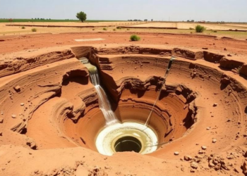
A survey of 92 perennial springs in Ethiopia's Kulfo River basin shows that fault density is the strongest control on ...
A Bayesian spatial analysis of the 2023–24 Demographic and Health Survey reveals stark regional disparities in child stunting across the ...
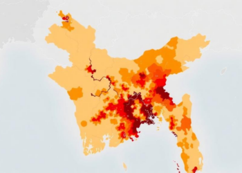
A new district-level study maps heatwave vulnerability across Bangladesh and finds that socioeconomic sensitivity and weak adaptive capacity, not temperature ...


Embark on a thrilling journey of discovery with Scienmag.com—your ultimate source for cutting-edge breakthroughs. Immerse yourself in a world where curiosity knows no limits and tomorrow’s possibilities become today’s reality!