

Sinking Cities: Satellites Reveal Global Patterns of Urban Land Subsidence
A new global satellite analysis of 465 cities reveals widespread urban land subsidence, with the most severe sinking in Southern ...
A new global satellite analysis of 465 cities reveals widespread urban land subsidence, with the most severe sinking in Southern ...
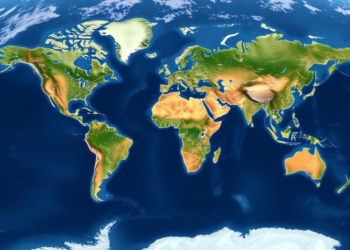
A decade of satellite radar data reveals that land subsidence is widespread across 465 major cities worldwide, with hotspots in ...

New simulations based on San Salvador Island in The Bahamas show that subsurface cutoff walls protect island freshwater lenses against ...
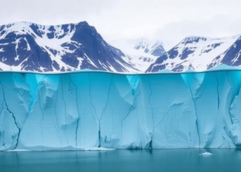
A new observation-constrained ice-sheet model shows that kilometer-scale seawater intrusions at Thwaites Glacier's grounding zone double its projected sea-level contribution ...
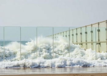
New simulations of tsunami defences in Kesennuma, Japan, show that a transparent, community-informed barrier system can achieve protection within 10 ...
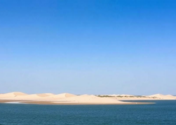
A five-year sediment budget of Fire Island after Hurricane Sandy reveals that barrier island geometry, not overwash alone, controls how ...
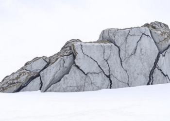
New paired carbon-14 and beryllium-10 measurements from Mount Murphy in West Antarctica expose underestimated uncertainties in cosmogenic dating while confirming ...
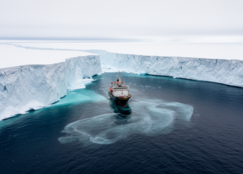
A 1,500-year coupled climate and ice-sheet simulation shows that an AMOC collapse cools rather than warms the subsurface waters beneath ...
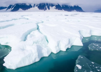
A new study of Alaska's Juneau Icefield shows its firn layer is thinning, warming, and losing its capacity to refreeze ...
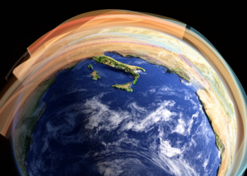
Scientists have unveiled MESMAR-R, the first coupled atmosphere-ocean-hydrology reanalysis of the Mediterranean, reconstructing 32 years of rapid warming, salinification, and ...


Embark on a thrilling journey of discovery with Scienmag.com—your ultimate source for cutting-edge breakthroughs. Immerse yourself in a world where curiosity knows no limits and tomorrow’s possibilities become today’s reality!