

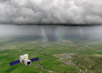
Integrating satellite observations for annual rainfall frequency analysis in Kalar district
A Kalar district case study combined NASA/POWER data with 34 years of ground observations and estimated 100-year annual rainfall at ...
A Kalar district case study combined NASA/POWER data with 34 years of ground observations and estimated 100-year annual rainfall at ...

An abstract reports that 8.8%–14.1% of urban-core grids in four Chinese cities combined high surface heat with limited blue-green resources ...
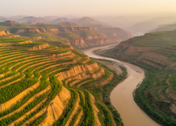
A regional satellite-observation study links Grain for Green implementation on the Loess Plateau with 53.2% forest-cover growth and 24.4% higher ...

A new satellite method uses CDOM optical signatures from Sentinel-3 imagery to map salinity across the Venice Lagoon, offering a ...

A new daily precipitation dataset for China merges satellite and gauge observations with a dual thin-plate spline method, achieving high ...
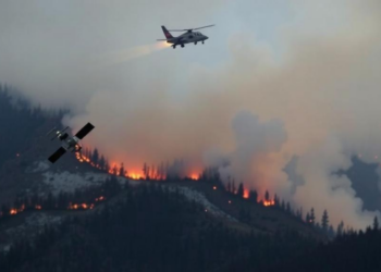
A new openly available dataset validates and corrects more than a decade of Türkiye's official wildfire records using satellite detections ...
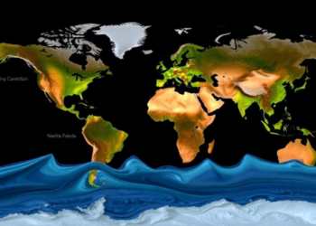
A new satellite altimetry study has produced the first global map of river flood peak timing, revealing earlier peaks at ...


Embark on a thrilling journey of discovery with Scienmag.com—your ultimate source for cutting-edge breakthroughs. Immerse yourself in a world where curiosity knows no limits and tomorrow’s possibilities become today’s reality!