

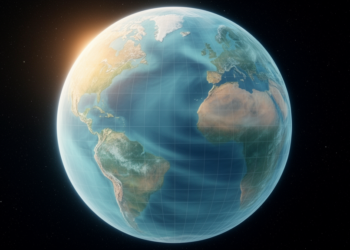
New Global Gravity Model Sharpens Maps of Earth’s Pull in Coasts and Polar Regions
A new preprint describes Tongji-GMMG2025C, a global gravity field model combining satellite, marine, terrestrial and polar data that improves coastal ...
A new preprint describes Tongji-GMMG2025C, a global gravity field model combining satellite, marine, terrestrial and polar data that improves coastal ...
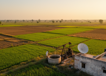
Researchers have mapped specific yield across India by combining GRACE satellite gravity data with quality-controlled groundwater level measurements, revealing regional ...
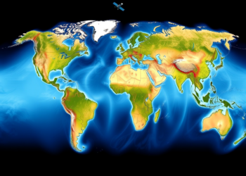
A new satellite-based method using GRACE-constrained GLDAS-CLSM data provides the first globally consistent estimate of groundwater recharge, totaling about 16,081.5 ...


Embark on a thrilling journey of discovery with Scienmag.com—your ultimate source for cutting-edge breakthroughs. Immerse yourself in a world where curiosity knows no limits and tomorrow’s possibilities become today’s reality!