

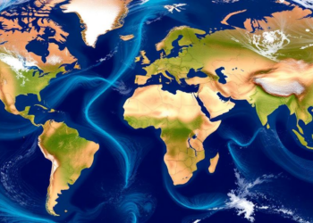
Twenty Years of Satellite River Data Sharpen Global Water Models for Climate Science
A new study shows that twenty years of ESA satellite discharge and water level data, assimilated into two contrasting hydrological ...
A new study shows that twenty years of ESA satellite discharge and water level data, assimilated into two contrasting hydrological ...

A new study reconstructing extreme coastal water levels from Mauritania to Cameroon finds that tides, wave run-up, and the Atlantic ...
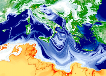
Satellite altimetry has revealed that fine-scale turbulence across the Mediterranean Sea follows a pronounced seasonal cycle, with implications for heat ...
A new analysis of 24 years of satellite and model data shows that remote equatorial winds and local wind forcing ...


Embark on a thrilling journey of discovery with Scienmag.com—your ultimate source for cutting-edge breakthroughs. Immerse yourself in a world where curiosity knows no limits and tomorrow’s possibilities become today’s reality!