

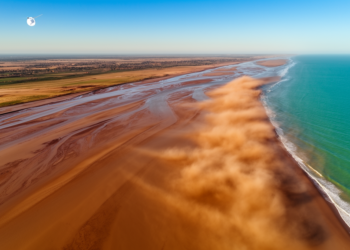
Satellites Track How Rivers and Coasts Move Sediment From Source to Sink
A TRACE2025 keynote shows how satellite remote sensing, fused with field data and machine learning, is transforming the study of ...
A TRACE2025 keynote shows how satellite remote sensing, fused with field data and machine learning, is transforming the study of ...
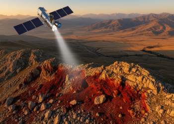
A 2003 ASTER image predicted the exact locations of iron pits opened years later around Keban, revealing how band ratios, ...

Using Sentinel-2 imagery, object-based image analysis and a random forest classifier, researchers produced the first high-accuracy map of Bai Tu ...
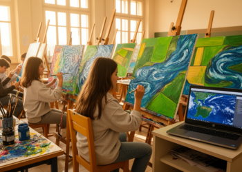
A collaboration between an Italian art high school and CNR researchers shows how satellite imagery and environmental data can be ...
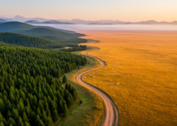
A new study of northern Hebei, China, reveals that forest and grassland gains and losses produce unequal and sometimes reversed ...
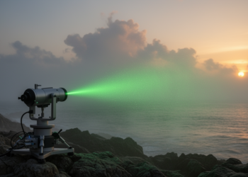
A new theoretical study shows that diffraction-free Tricomi beams allow precise control over how light scatters from humidity-sensitive marine aerosol ...
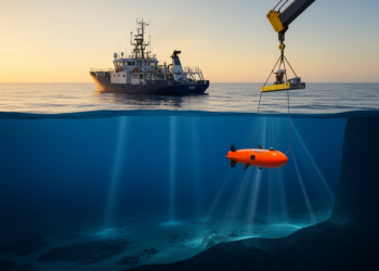
A comprehensive new review maps how artificial intelligence is transforming ocean science from surface currents to deep-sea ecology, while exposing ...
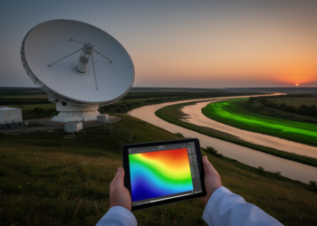
The new study arrives at a moment when the remote sensing community is increasingly confronting a paradox that has quietly ...
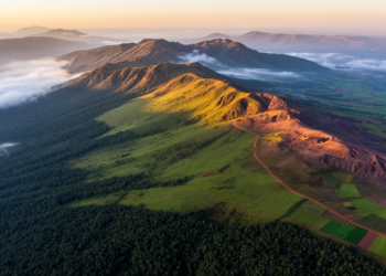
High in the southeastern highlands of Ethiopia, the Bale Mountains rise through an extraordinary ladder of life: dense montane forest ...
A new harmonization-based super-resolution workflow shows that cross-sensor radiometric calibration, not network architecture, is the largest contributor to sharpening free ...


Embark on a thrilling journey of discovery with Scienmag.com—your ultimate source for cutting-edge breakthroughs. Immerse yourself in a world where curiosity knows no limits and tomorrow’s possibilities become today’s reality!