


Seven Years of Satellite Radar Data Reveal Sinking Ground Along Qingdao’s Coast
A seven-year SBAS-InSAR analysis of Qingdao found mostly stable ground with subsidence hotspots reaching 83.76 mm per year, driven mainly ...
A seven-year SBAS-InSAR analysis of Qingdao found mostly stable ground with subsidence hotspots reaching 83.76 mm per year, driven mainly ...

A decade-long shift from mild to severe erosion at Valiyathura beach in Thiruvananthapuram, including a record 45-metre retreat in the ...
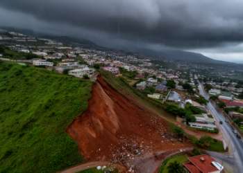
A five-decade analysis of landslide and rainfall records in Greater Durban has produced tiered rainfall thresholds, with a 70th percentile ...

A machine learning framework combining multi-temporal lidar and satellite data mapped post-fire debris flows across seven Oregon watersheds, with multi-temporal ...

An editorial in Frontiers in Earth Science argues that geoscience communication must move beyond one-way knowledge transfer toward reciprocal dialogue, ...

A PLS-SEM analysis of 39 disaster-prone countries from 1993 to 2020 shows that informality directly amplifies disaster impact, while governance ...
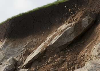
A systematic review of 80 publications reveals significant gaps in integrating climate projections with comprehensive road landslide risk assessments, highlighting ...

A new study in Brazil shows that using effective half-life rainfall indices significantly improves the accuracy of landslide early warning ...

A dynamic Bayesian network framework applied to a real-world rail system quantifies resilience under short-term and long-term extreme weather disruptions ...

A new study reconstructs how traditional societies in China's Hengduan Mountains adapted to centuries of natural hazards during the Little ...


Embark on a thrilling journey of discovery with Scienmag.com—your ultimate source for cutting-edge breakthroughs. Immerse yourself in a world where curiosity knows no limits and tomorrow’s possibilities become today’s reality!