


Nationwide Maps Chart Where Rising Seas Could Flood Every Inhabited Island in Vanuatu
A new dataset maps extreme sea level inundation across all 65 inhabited islands of Vanuatu under present-day conditions and sea ...
A new dataset maps extreme sea level inundation across all 65 inhabited islands of Vanuatu under present-day conditions and sea ...

Researchers developed a metric that monitors gradient contraction during LiDAR registration to distinguish true degeneracy from still-usable semi-degenerate scenes.
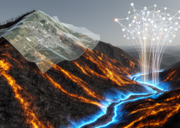
A machine learning framework combining multi-temporal lidar and satellite data mapped post-fire debris flows across seven Oregon watersheds, with multi-temporal ...

A MATLAB simulation combining Theta* planning, potential field avoidance, Pure Pursuit tracking and LIDAR mapping reached the goal in nine ...

An enhanced PointNet++ with attention mechanisms and model scaling reaches up to 96.26 percent accuracy in separating ground from vegetation ...

Researchers in Hefei have combined a compact Mie-scattering LiDAR with an autonomous electric vehicle to continuously profile aerosols in three ...

Researchers have developed tandem PbSe colloidal quantum-dot photodiodes that combine built-in visible-light suppression with nanosecond response, enabling centimeter-resolution 1550 nm ...

University of Michigan engineers are using a $5.66 million U.S. DOT award to develop SAFETI, an open-source intersection system that ...

A University of Cincinnati student proof of concept combines autonomous drones, LIDAR and a photorealistic virtual-reality model for warehouse inventory ...
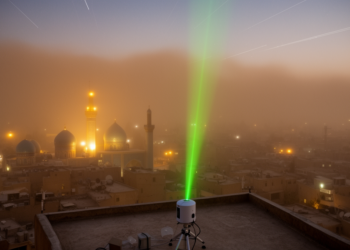
A case study of a July 2006 dust episode over Shiraz, Iran, combines ground-based lidar, CALIPSO and MODIS satellite data, ...


Embark on a thrilling journey of discovery with Scienmag.com—your ultimate source for cutting-edge breakthroughs. Immerse yourself in a world where curiosity knows no limits and tomorrow’s possibilities become today’s reality!