

Data-driven model maps Kabul’s shrinking groundwater and redraws its well network
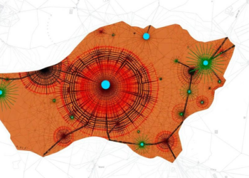
A new study combining GIS-based modeling with the Evidential Belief Function method maps groundwater potential across Kabul's stressed shallow aquifer ...
A new study combining GIS-based modeling with the Evidential Belief Function method maps groundwater potential across Kabul's stressed shallow aquifer ...


Embark on a thrilling journey of discovery with Scienmag.com—your ultimate source for cutting-edge breakthroughs. Immerse yourself in a world where curiosity knows no limits and tomorrow’s possibilities become today’s reality!