

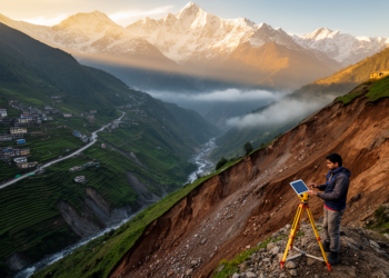
Mapping landslide risk across the Indian Himalaya to guide safer planning
A new study maps landslide susceptibility and risk across the Indian Himalayan Region, finding about 8% of the area under ...
A new study maps landslide susceptibility and risk across the Indian Himalayan Region, finding about 8% of the area under ...

A comparative study of Punjab, Haryana and Himachal Pradesh finds that rural local self-governance secures physical access to education yet ...

A new study of three Himalayan rivers in Himachal Pradesh provides the first systematic trace metal baseline for their sediments, ...

A 125-year analysis of the Northwest Himalayan Region reveals strong spatial clustering of drought, dominant ENSO teleconnections, tight vegetation coupling, ...

A 40-year analysis using the 10-km HARv2 dataset reveals that Jammu & Kashmir is drying significantly, Himachal Pradesh faces lengthening ...

A new study reveals that two devastating Himalayan rainfall disasters in 2019 and 2023 were driven by contrasting interactions between ...

A synthesis of 112 studies across India's North-Western Himalayas shows coniferous forests store roughly 51 percent more biomass carbon per ...
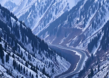
A new AHP-based landslide susceptibility map of the Solan-Shimla highway in Himachal Pradesh identifies the most dangerous slopes along a ...

A geostatistical survey of ninety-nine cauliflower farms in Himachal Pradesh reveals that key soil properties form statistically significant spatial clusters, ...

A two-decade study of wheat powdery mildew in the Himalayas documents a selective sweep toward fewer, more aggressive pathogen lineages ...


Embark on a thrilling journey of discovery with Scienmag.com—your ultimate source for cutting-edge breakthroughs. Immerse yourself in a world where curiosity knows no limits and tomorrow’s possibilities become today’s reality!