

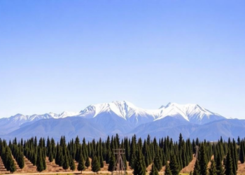
Scientists Mine Instagram Photos to Map a Treeline Species Across 2,000 Kilometers of the Andes
Researchers turned tourist photos on Instagram into 1,238 ground truthing points to validate a satellite-based map of the lenga beech ...
Researchers turned tourist photos on Instagram into 1,238 ground truthing points to validate a satellite-based map of the lenga beech ...


Embark on a thrilling journey of discovery with Scienmag.com—your ultimate source for cutting-edge breakthroughs. Immerse yourself in a world where curiosity knows no limits and tomorrow’s possibilities become today’s reality!