

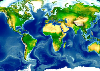
Satellites and Models Combine to Map River Depth and Flow Worldwide
A new satellite altimetry and modeling framework delivers global estimates of river discharge and mean depth at more than 26,000 ...
A new satellite altimetry and modeling framework delivers global estimates of river discharge and mean depth at more than 26,000 ...
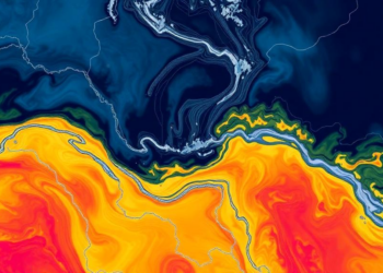
New SWOT satellite measurements reveal that machine learning river models fail most severely on dammed, arid-region, and Arctic rivers, challenging ...


Embark on a thrilling journey of discovery with Scienmag.com—your ultimate source for cutting-edge breakthroughs. Immerse yourself in a world where curiosity knows no limits and tomorrow’s possibilities become today’s reality!