

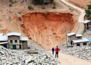
Scientists Map Landslide Danger in a Fast-Growing Himalayan Town
A new GIS-based study maps landslide hazard, vulnerability and risk across Srinagar, Uttarakhand, using frequency ratio and information value models ...
A new GIS-based study maps landslide hazard, vulnerability and risk across Srinagar, Uttarakhand, using frequency ratio and information value models ...
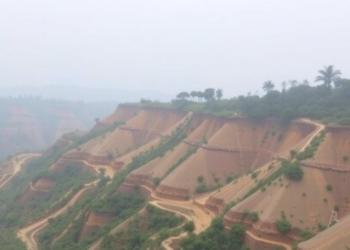
A new study of the Dikhow River Basin in Northeast India shows that a simple frequency ratio model outperformed the ...

A new comparative study of the Sheringal–Kumrat Road in Upper Dir, Pakistan, shows a simple statistical index model outperforming expert-based ...


Embark on a thrilling journey of discovery with Scienmag.com—your ultimate source for cutting-edge breakthroughs. Immerse yourself in a world where curiosity knows no limits and tomorrow’s possibilities become today’s reality!