

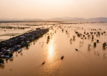
Remote Sensing Reveals Two Decades of Rising Flood Exposure Around Dongting Lake
A remote sensing study of five floods between 2000 and 2020 finds that inundation expansion, not population redistribution, drove rising ...
A remote sensing study of five floods between 2000 and 2020 finds that inundation expansion, not population redistribution, drove rising ...
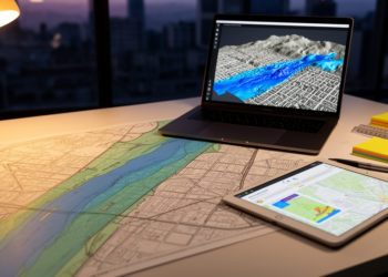
A study combining HEC-RAS flood modelling, ArcGIS spatial analysis and CRITIC and VIKOR statistics builds a Flood Resilience Index that ...
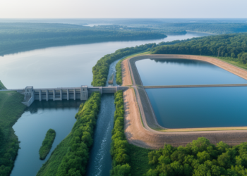
A new study derives an equivalent flood control storage relationship between a reservoir and a flood detention basin, applied to ...
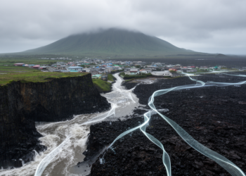
An explainable machine learning study of Jeju Island shows that flood occurrence is governed by region-specific interactions among rainfall, groundwater, ...
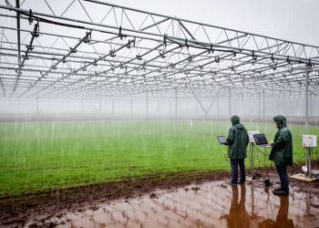
Researchers have extended a widely used class of statistical precipitation generators with flexible distributional modelling and a unified treatment of ...

A joint policy brief from three EU-funded projects recommends five priority actions to embed catchment-scale sponge restoration across EU water, ...
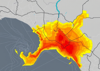
Researchers fused morphometric basin analysis with machine learning to map flood susceptibility across four Bayelsa State catchments, revealing hidden high-risk ...
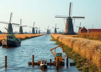
A ten-year analysis of Dutch online news shows that media coverage strongly legitimises engineering-based protection against sea-level rise while marginalising ...
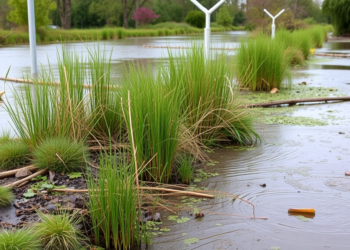
A new modeling study of China's Poyang Lake Basin shows that permeability-oriented green infrastructure outperforms storage-based designs under most flood ...
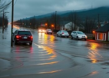
The catastrophic floods that swept through western Germany and Belgium in July 2021 killed more than 200 people, and according ...


Embark on a thrilling journey of discovery with Scienmag.com—your ultimate source for cutting-edge breakthroughs. Immerse yourself in a world where curiosity knows no limits and tomorrow’s possibilities become today’s reality!