In a groundbreaking development that could revolutionize earthquake monitoring and urban safety, researchers have tapped into a resource most of us carry every day—our smartphones—to better understand seismic shaking in cities. The study, spearheaded by Finazzi, Cotton, and Bossu, published in Nature Communications, demonstrates how citizen smartphones, widely distributed and equipped with sensitive sensors, can unravel the complexity of earthquake ground motion with unprecedented spatial detail.
Earthquake science has traditionally relied on networks of seismometers installed by geological agencies, devices painstakingly positioned to capture ground vibrations across regions. While effective, these networks face inherent limitations: they are sparse in many areas, costly to maintain, and often lack the density to capture heterogeneity in shaking at the fine scale within urban landscapes. This new approach exploits the ubiquity of smartphones packed with accelerometers to create a dense, crowdsourced array capable of mapping seismic shaking with much finer granularity than conventional methods.
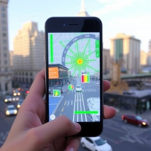
The core innovation lies in harnessing the tri-axial accelerometers embedded in modern smartphones—primarily designed for user interface orientation and motion detection—to measure ground acceleration during seismic events. When an earthquake occurs, these sensors record the local shaking, effectively transforming each phone into a mini seismometer. By aggregating data from thousands or even millions of such devices, researchers can generate high-resolution maps of ground motion intensity across an urban area that accounts for localized variations in geology, building effects, and infrastructure resilience.
Executing this concept presented formidable technical challenges. Smartphone accelerometers are not designed or calibrated for seismic monitoring, and their data quality varies with device model, sensor noise, and environmental factors. Additionally, extracting meaningful seismic signals from the noisy background of everyday user motion requires sophisticated filtering and signal processing algorithms. The research team developed advanced machine learning and statistical frameworks to automatically identify genuine earthquake shaking records amidst the deluge of data and to correct for systematic errors.
The study’s methodology involved deploying an app that smartphone users voluntarily installed, which silently monitored accelerometry data. When a significant seismic event was detected—determined through a combination of preliminary network detections and local signal characteristics—the app uploaded relevant records to a centralized server. Subsequent processing harmonized these heterogeneous datasets, aligning them temporally and spatially to create comprehensive shaking maps. Remarkably, this aggregation was able to identify subtle spatial patterns in seismic intensity that standard seismometer networks missed.
One of the most compelling outcomes of this research is the ability to capture complex wavefield interactions within the urban fabric. Urban environments, with their varied building densities, soil types, and topographies, influence how seismic waves amplify or attenuate. The smartphone-derived data revealed hotspots where shaking was significantly more intense due to local geological amplification, insights vital for targeted retrofitting and resource allocation in earthquake preparedness.
Moreover, the real-time nature of smartphone seismic monitoring opens exciting possibilities for rapid post-earthquake response. Traditional seismic networks often have delays or gaps in data coverage, whereas a massively distributed smartphone network can provide near-instantaneous feedback on the shaking distribution. This capability enables more accurate emergency response prioritization, potentially saving lives by directing help where it is most urgently needed.
Beyond immediate emergency applications, this citizen-based seismic framework fosters community engagement and public awareness. Users become active participants in earthquake science, increasing societal understanding of seismic risk. The democratization of data collection also empowers regions with limited governmental seismic infrastructure, leveling the playing field for earthquake monitoring worldwide.
Critics have expressed concerns about privacy and data security given the need to track sensor data location and timing. The researchers addressed these issues by implementing strict anonymization protocols and securing data transmissions, balancing scientific objectives with ethical considerations. Maintaining user trust is essential for scaling such an initiative successfully.
Looking forward, integrating smartphone seismic data with traditional seismological instrumentation promises to create hybrid networks that combine the strengths of both approaches. Calibration studies are underway to better quantify the precision and limitations inherent to smartphone sensors, aiming to refine shaking estimates further. As smartphones continue to evolve and their sensor capabilities improve, their utility as a distributed seismic network will only expand.
The implications of this research extend beyond earthquake science. The framework developed could be adapted to other types of ground motion monitoring, such as volcanic tremors or landslides, wherever dense sensor coverage is critical. Additionally, the data-rich environment enables novel machine learning research, potentially uncovering new patterns in seismic wave propagation and urban response.
In essence, the study by Finazzi and colleagues transforms millions of personal devices into a collective scientific instrument, blurring the lines between citizen science and professional seismic monitoring. As urban populations grow and seismic risks intensify, this innovative use of existing technology offers an affordable, scalable, and effective tool to enhance earthquake resilience.
This fusion of geoscience, technology, and community participation exemplifies the future of disaster science: decentralized, data-driven, and inclusive. The researchers’ work heralds a new era where powerful, real-time earthquake monitoring is in the hands of ordinary people, fundamentally changing how societies prepare for and respond to seismic hazards.
As smartphone penetration rates soar globally, especially in earthquake-prone regions, the potential coverage of such networks is staggering. In the years ahead, incorporating these citizen-contributed datasets into official early warning systems and urban planning policies will likely become standard practice, profoundly impacting public safety strategies.
By turning everyday gadgets into seismic sentinels, this pioneering approach opens fresh avenues to unravel the intricacies of earthquake shaking, ultimately contributing to safer cities and more resilient communities worldwide.
Subject of Research: Citizen-sourced seismic monitoring using smartphones to map earthquake shaking in urban environments.
Article Title: Citizens’ smartphones unravel earthquake shaking in urban areas.
Article References:
Finazzi, F., Cotton, F. & Bossu, R. Citizens’ smartphones unravel earthquake shaking in urban areas. Nat Commun 16, 9527 (2025). https://doi.org/10.1038/s41467-025-64543-3
Image Credits: AI Generated
