


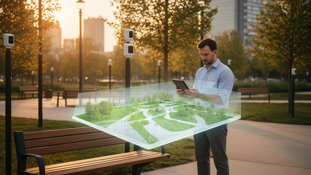
Public spaces are the connective tissue of urban life, the parks, squares, waterfronts and streetscapes where people meet, move, rest and belong. Yet a sweeping new systematic review suggests that cities have been installing smart technology into these spaces with remarkably little understanding of what each technology actually does for the place itself. Researchers at the University of Moratuwa in Sri Lanka, working with a colleague at Coventry University in the United Kingdom, have now built the first characteristic-led, stage-based framework that links specific digital technologies to the specific spatial qualities they support, and to the moment in a public space’s life when that support matters most. The study, published in Frontiers in Sustainability, analysed 114 peer-reviewed studies published between 2008 and 2025 and consolidated sixteen distinct public space characteristics drawn from decades of urban design theory.
The research team, led by W. S. D. Perera of the Department of Building Economics, began from a deceptively simple observation: most smart-city literature treats technology as a single undifferentiated intervention, cataloguing gadgets rather than explaining outcomes. A mobile application, a digital twin and a smart bench are lumped together as “smart” additions, with little attention to which spatial characteristic each one actually reinforces. The researchers argue that this technology-centred view has produced fragmented evidence, where studies focus on individual devices or isolated outcomes without explaining how a given technology supports a given quality, or at what stage of spatial performance that contribution occurs. Their answer was to flip the unit of analysis: instead of starting with what a technology can do, they started with what a public space needs to be.
That starting point required distilling the sprawling vocabulary of urban design into a coherent set of qualities. Drawing on seminal and contemporary sources, from Kevin Lynch’s classic work on the image of the city through to recent scholarship on liveability and inclusion, the team compared, grouped and merged overlapping concepts to arrive at sixteen characteristics. These range from movement-oriented qualities such as permeability, the availability of multiple routes through and into a place, and legibility, how easily users can read a place through its layout and landmarks, to experiential qualities such as richness, personalisation, liveability and relaxation. A third cluster addresses safety, governance and resilience, including protection, balance between pedestrians and vehicles, accessibility, connectivity, vulnerability, sustainability and engagement. Each characteristic was defined through a narrative synthesis of the literature, providing the theoretical foundation for the mapping exercise that followed.
On the technology side, the researchers conducted a systematic literature review across Scopus and Web of Science, using a CIMO logic grid, which structures a research question by Context, Intervention, Mechanism and Outcome, to build a comprehensive search string. The initial searches returned 1,445 records. After removing 154 duplicates, screening 1,291 records by title and abstract, and assessing 123 full-text reports against eligibility criteria, the final review included 114 studies. From this evidence base, the team organised the technologies found in public spaces into six functional families: connectivity infrastructure such as Wi-Fi and 5G networks; sensing and monitoring systems including IoT environmental sensors, CCTV and LiDAR; spatial modelling and immersive technologies such as digital twins, augmented reality and virtual reality; user-facing information and interaction tools including mobile apps, kiosks and QR codes; smart operational infrastructure such as smart lighting, smart parking and electric-vehicle charging stations; and analytics and decision-support systems including artificial intelligence, computer vision and public dashboards.
The central innovation of the study is the mapping of these technologies against the sixteen characteristics across three lifecycle stages: creation, maintenance and review. Creation refers to establishing or designing a spatial quality; maintenance refers to sustaining its day-to-day performance; and review refers to monitoring, evaluation and adaptive management. The mapping revealed distinct and consistent clusters. Interactive and informational technologies, including augmented and virtual reality, digital platforms and location-based content, mainly support the creation of experiential qualities such as engagement and legibility. Three-dimensional modelling, digital twins and mixed reality, for example, help designers visualise movement patterns and spatial relationships before and during implementation, while websites, mobile apps and web portals support the creation of permeability by making route choices visible to unfamiliar users.
At the maintenance stage, the picture shifts toward service- and infrastructure-oriented technologies. Smart lighting systems and surveillance cameras contribute to protection by improving visibility and deterring anti-social behaviour, while sensor-based transport and parking systems help sustain connectivity by reducing congestion and improving mobility. Connectivity-enabling technologies such as 5G networks and Wi-Fi hotspots are repeatedly linked to connectivity and liveability, reflecting the growing expectation that public spaces accommodate digital interaction alongside physical use. The review stage, finally, belongs to sensor- and analytics-driven technologies: environmental monitoring systems track air quality, noise and thermal comfort; computer vision systems allow authorities to assess safety conditions and crowd dynamics; and digital twin platforms integrate spatial models with live sensor data to support monitoring, simulation and adaptive management.
The framework’s second phase synthesised the wider implications of technology integration, and the results are strikingly double-edged. On the positive side, the reviewed evidence shows that technologies can improve navigation, safety, engagement, environmental management, accessibility, learning opportunities and service efficiency. Smart benches with solar-powered USB charging, interactive kiosks offering wayfinding and emergency alerts in multiple languages, voice-assisted guide applications for blind users that integrate QR codes with existing braille walkways, and location-based services that transform the city into what one cited study calls a “database city” all illustrate how digital tools can broaden access and enrich experience. Augmented reality applications have been shown to empower citizens within public spaces, foster a sense of agency and ownership, and activate parks through games that increase community interaction and city exploration.
But the same evidence base documents serious risks. Privacy and data-security concerns arise wherever IoT devices and sensors collect and transmit data, and systems integrating booking or payment, such as smart parking, are vulnerable to cyber-attacks that erode user trust. Digital exclusion emerges as a persistent threat: self-serve kiosks present significant barriers for blind and partially sighted users, and the shift of information from analog signs to geolocated digital content risks creating what one cited study describes as a two-tiered system of access on city streets. Locative augmented reality games can disrupt the original function of public spaces, crowding parks with distracted players and generating safety incidents. Governance challenges loom largest of all: in projects like New York’s LinkNYC kiosks, private companies have leveraged data access to expand their role over local authorities, raising concerns about surveillance capitalism and the quiet privatisation of public governance.
Perhaps the most provocative finding is what the researchers call a digital gap in the evidence itself. Although technological relationships were identified for eleven of the sixteen characteristics, five, balance, relaxation, robustness, variety and visual appropriateness, remained unrepresented in the reviewed literature. The authors attribute this to a measurability bias within the dominant smart-city paradigm: qualities such as connectivity, accessibility and protection translate readily into network coverage, movement data and illumination levels, while relaxation, aesthetic appropriateness and sensory richness depend on embodied experience, cultural interpretation and change over time, making them less compatible with sensor-based assessment. Crucially, the absence of mapped evidence reflects a research gap rather than proof that these qualities cannot be technologically supported, and the authors warn that current research privileges what can be quantified and administratively managed while overlooking how spaces are experienced, appropriated and valued by different communities.
For planners, designers, managers and policymakers, the framework offers a structured decision pathway rather than a shopping list of gadgets. The recommended sequence is to first define the public-space characteristic that requires improvement, then identify whether the intervention is intended to create, maintain or review that characteristic, and finally assess candidate technologies against accessibility, public value, privacy, lifecycle feasibility and institutional accountability. This approach explicitly discourages technology-led procurement, in which devices are introduced because they are fashionable rather than because they respond to a demonstrated spatial need. It also demands that trade-offs be evaluated openly: accessibility gains must be weighed against digital exclusion, safety gains against surveillance, and engagement gains against disruption of the public space experience. As the authors conclude, the goal is not more technology in public spaces, but more selective, context-sensitive and publicly accountable integration, one that treats every sensor, screen and algorithm as a means to a spatial end rather than an end in itself.
Subject of Research: A systematic review developing a characteristic-led, stage-based framework linking digital and smart technologies to public space spatial characteristics
Article Title: Reimagining public space through technology: a systematic review and conceptual framework linking digital technologies to spatial characteristics
Article References: Perera, W. S. D., Kulatunga, U., Dias, N., & De Silva, C. (2026). Reimagining public space through technology: a systematic review and conceptual framework linking digital technologies to spatial characteristics. Frontiers in Sustainability, 7, Article 1916510. https://doi.org/10.3389/frsus.2026.1916510
Image Credits: AI Generated
DOI: 10.3389/frsus.2026.1916510
Keywords: public space, smart cities, digital twins, augmented reality, urban design, systematic review, spatial characteristics, technology integration, digital exclusion, surveillance, IoT sensors, urban sustainability
Cite Scienmag News
Mallory Mcbride. (October 16, 2026). Smart Parks and Digital Twins: New Framework Maps Exactly Which Technologies Make Public Spaces Work. Scienmag. https://scienmag.com/smart-parks-and-digital-twins-new-framework-maps-exactly-which-technologies-make-public-spaces-work/
Mallory Mcbride. "Smart Parks and Digital Twins: New Framework Maps Exactly Which Technologies Make Public Spaces Work." Scienmag, 16 October 2026, https://scienmag.com/smart-parks-and-digital-twins-new-framework-maps-exactly-which-technologies-make-public-spaces-work/. Accessed 16 October 2026.
Mallory Mcbride. "Smart Parks and Digital Twins: New Framework Maps Exactly Which Technologies Make Public Spaces Work." Scienmag. October 16, 2026. https://scienmag.com/smart-parks-and-digital-twins-new-framework-maps-exactly-which-technologies-make-public-spaces-work/


