In the midst of ongoing conflict, the challenges faced by agricultural sectors are immense and multifaceted. For Ukraine, a nation renowned for its fertile land and substantial contribution to global grain production, maintaining accurate agricultural data during wartime has become a critical but complex task. Recently, a pioneering approach has emerged from the confluence of remote sensing technology and advanced data analytics, offering a vital lifeline for agricultural monitoring in turbulent conditions. This development was detailed in a recent study by Wagner, Skakun, Nair, and their colleagues, who have leveraged satellite data to monitor winter crop areas in Ukraine, showcasing a remarkable advancement in agricultural statistics despite the disruptions caused by conflict.
The study addresses a pressing need: the inability to carry out traditional crop surveys and ground-based data collection in conflict zones, where safety and access are severely compromised. Agricultural monitoring typically relies on physical surveys and reports from local authorities and farmers, data streams that become unreliable or unavailable during wartime. The disruption in Ukraine due to armed conflict has led to significant gaps in agricultural data, which in turn complicates planning, food security assessments, and policy decisions. The researchers tackled this problem by harnessing remote sensing—using satellite imagery to estimate and track winter crop acreage with high precision and frequency.
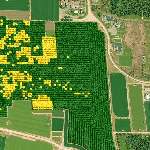
Remote sensing involves collecting data about Earth’s surface without physical contact, typically via satellites equipped with a variety of sensors. These sensors capture electromagnetic signals reflected or emitted by vegetation and soil, producing multispectral and radar images. By analyzing changes in these signals over time and across different wavelengths, scientists can infer vegetation health, crop types, and growth stages. In the context of Ukraine’s wartime agricultural landscape, the use of remote sensing technology is nothing short of a breakthrough, enabling continuous monitoring where on-the-ground access is prohibited.
Central to the researchers’ methodology is the synthesis of data from multiple satellite platforms, including Sentinel-1 Synthetic Aperture Radar (SAR) and Sentinel-2 multispectral optical data. The synergy of radar and optical data enhances reliability, as radar can penetrate clouds and is independent of daylight, a critical advantage during seasonal variations and adverse weather conditions. The study reveals that integrating these data streams allows for the effective delineation of winter crop areas, even under complex environmental and socio-political constraints. The research team employed machine learning algorithms to classify the satellite images, thereby distinguishing winter crops from other land covers with unprecedented accuracy.
The analysis focuses particularly on winter wheat and barley, staple crops essential for Ukraine’s agricultural output and food supply. By monitoring the extent and health of these crops remotely, the researchers provide near-real-time data updates to agricultural authorities and international stakeholders. This capability substantially mitigates the uncertainty imposed by the war, allowing for better management of food stocks and enhancing the resilience of the agricultural sector. It also provides a transparent and objective data source, helping to counter misinformation and support policy decisions during humanitarian and economic crises.
Moreover, the research underscores the potential of remote sensing to maintain continuity in national agricultural statistics during emergencies. Traditional statistical offices, reliant on in-person data collection, face operational disruptions during conflicts. Remote sensing offers a scalable solution that can be rapidly deployed in conflict zones, delivering consistent and comparable data over time. This aspect is crucial not only for Ukraine’s current needs but as a model for future crises worldwide where similar challenges are anticipated.
The technical sophistication of the study is evident in the calibration and validation procedures employed. The researchers cross-referenced their remote sensing estimates with available field data from less affected areas and historical agricultural statistics. This multi-tier validation showcased a high correlation between predicted crop extents and ground truth, confirming the robustness of their approach. Furthermore, their methodology accounts for phenological variability—the different growth stages of crops—which is vital for distinguishing winter crops at different points in the growing season.
From a broader scientific perspective, this research highlights the increasing role of Earth observation technologies in global food security frameworks. As climate change, geopolitical instability, and pandemics increasingly impact agricultural systems, satellite-based monitoring emerges as an indispensable tool. The Ukrainian case study vividly illustrates how technological innovation can bridge the gap between unstable ground realities and the urgent need for reliable data to inform decision-making.
This research also carries significant implications for international humanitarian agencies and markets. Reliable, near-real-time crop data can improve forecasting of food availability and price fluctuations, allowing early interventions that prevent crises. Furthermore, transparent reporting through objective satellite data can enhance trust among donors, trading partners, and affected populations.
In addition, the study’s approach is notable for its adaptability and scalability. The data and algorithms used are grounded in open-source platforms and publicly accessible satellite data streams, fostering transparency and reproducibility. This democratization of data analytics empowers local authorities, researchers, and NGOs in conflict-affected regions to deploy similar monitoring efforts independently.
The convergence of remote sensing and machine learning exemplified in this research aligns with broader trends in precision agriculture and digital farming. As more agricultural statistics move into the digital realm, the integration of satellite data, AI-driven classification, and ground-level inputs forms a powerful nexus to optimize production, monitor risks, and enhance sustainability.
Despite the undeniable benefits, the study carefully acknowledges limitations and challenges. These include the need for continuous updating of classification models as agricultural practices evolve and the difficulty in resolving mixed or small-holder plots in high spatial resolution data. There are also concerns about data latency and coverage gaps for certain satellites. Nevertheless, the multi-sensor data fusion approach effectively mitigates many of these concerns and provides a reliable framework to build upon.
Looking ahead, this research paves the way for expanded use of remote sensing in monitoring other critical crop types throughout the year, as well as livestock and pasture conditions. The potential to integrate additional data sources—such as meteorological data, socioeconomic indicators, and UAV imagery—can further refine understanding of conflict-driven agricultural dynamics.
Ultimately, the study by Wagner and colleagues stands as an inspiring example of science responding to real-world crises with technological ingenuity and interdisciplinary collaboration. By transforming satellite data into actionable intelligence for wartime agriculture, this work contributes not only to the resilience of Ukrainian food systems but also sets a precedent for future efforts to safeguard global food security under duress.
In summation, remote sensing provides a potent new avenue to assess and manage agricultural resources amid conflict. The research elucidates both the technical intricacies and practical advantages of using multi-sensor satellite platforms alongside machine learning to deliver timely, accurate crop monitoring. This approach is poised to become an essential component of agricultural statistics systems worldwide, especially in regions where traditional data collection is compromised by instability. As geopolitical tensions rise and climate uncertainties deepen, ensuring reliable agricultural data will be ever more crucial—and the tools developed in this study will be at the forefront of that challenge.
Subject of Research: Monitoring winter crop areas in Ukraine during wartime using remote sensing technology
Article Title: Monitoring winter crop areas during wartime: remote sensing support for Ukraine’s agricultural statistics
Article References:
Wagner, J., Skakun, S., Nair, S.S. et al. Monitoring winter crop areas during wartime: remote sensing support for Ukraine’s agricultural statistics. npj Sustain. Agric. 4, 1 (2026). https://doi.org/10.1038/s44264-025-00119-4
Image Credits: AI Generated
