


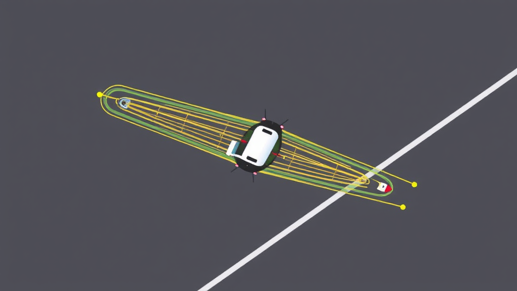
High-altitude, high-speed vehicles operating in contested or adversarial airspace face a problem that has long frustrated engineers: what happens when the satellite signals they depend on vanish? Whether through jamming, spoofing, or the simple destruction of ground infrastructure, the loss of global navigation satellite system (GNSS) signals strips these craft of their primary means of knowing where they are. A research team from the School of Astronautics at Beihang University now reports a promising answer, one borrowed from an unexpected corner of aerospace practice: the way spacecraft flying in formation keep track of their absolute positions relative to one another. In a study published in Space: Science & Technology, the team demonstrates that a formation of hypersonic vehicles can navigate autonomously with meter-scale-class accuracy over hours, using nothing but the distances and directions between the vehicles themselves, accelerometer readings, and star tracker attitude data.
The challenge is fundamental rather than incremental. Existing autonomous navigation techniques each carry trade-offs that make them ill-suited to the combined demands of all-weather operation, high accuracy, and long endurance. Visual navigation falters in cloud, darkness, or featureless terrain. Terrain matching requires accurate reference maps and relatively low flight profiles. Inertial navigation systems drift: small errors in measured acceleration accumulate relentlessly into position errors that grow to kilometers within minutes for high-speed flight. Celestial navigation offers global availability but modest precision, while geomagnetic navigation suffers from the irregularity and slow variation of the Earth’s magnetic anomalies. No single method, and no simple combination of them, has satisfied the stringent requirements of long-duration, high-precision flight through environments where external signals cannot be trusted.
The Beihang team’s insight was to extend a principle proven in spacecraft formation flying to vehicles that operate within the atmosphere at altitudes of tens to hundreds of kilometers. In orbital formations, the relative position vectors between spacecraft encode information about the gravitational field, and because gravity depends on absolute position, those vectors can be inverted to determine where the vehicles actually are. The complication for atmospheric flight is that high-altitude high-speed vehicles are subject to large non-conservative forces—engine thrust and aerodynamic drag and lift chief among them—which contaminate the dynamical picture. Gravity is a conservative force, but thrust and aerodynamic forces are not, and unless their contribution can be removed, the gravitational signature hidden in the relative motion is masked.
The researchers’ solution is elegant in its use of existing onboard hardware. Each vehicle measures the non-conservative accelerations directly with the accelerometers of its inertial navigation system. Meanwhile, the relative position vectors between vehicles in the formation are obtained through laser ranging, which supplies highly accurate separation distances, combined with optical direction finding, which supplies the line-of-sight direction. Star trackers, which determine attitude by observing fixed stars, complete the sensor suite by anchoring the measurements in a known reference frame. These three data streams are fused in an extended Kalman filter that outputs continuous estimates of position, velocity, and accelerometer biases. The computational heart of the method lies in differentiating the relative position vectors to derive relative acceleration, subtracting the measured non-conservative accelerations, and thereby extracting the residual gravitational acceleration—the quantity that reflects absolute position—from which the vehicles’ locations are iteratively solved.
To make the scheme rigorous, the team formulated the system in the Earth-Centered Earth-Fixed (ECEF) frame, with a state vector comprising position errors, velocity errors, and accelerometer biases. The measurement model uses the relative position vector errors between vehicles, and the extended Kalman filter incorporates the Earth’s rotation and a high-order gravitational field model. A crucial theoretical question was whether the system is observable at all—whether the measurements contain enough information, in principle, to determine the states uniquely. The researchers answered this by constructing the observability matrix from the system output and its time derivatives, then analyzing its rank and condition number through singular value decomposition. Under a central gravitational field assumption, the minimum singular value was on the order of 10⁻⁷ and the condition number approximately 10⁷, indicating good observability; adopting the high-order gravitational field further improved the picture.
The simulation campaign that followed gives the method its most persuasive numbers. In the baseline scenario, a two-vehicle formation flies at an altitude of 50 kilometers and a velocity of 2.0 kilometers per second, separated by 400 kilometers, over a 150-minute mission. Relative position vector measurements are sampled at 1 Hz with a range error of 1 meter and a direction error of 3 arcseconds; star tracker three-axis errors are 3, 3, and 10 arcseconds; the accelerometer bias is 30 μg with random walk noise of 10 μg/√Hz; and initial position and velocity errors are 200 meters and 1 meter per second. Under these conditions, the navigation solution converges within the first hour, with the three-dimensional positioning error stabilizing below 200 meters. Over the final hours of flight, the root-mean-square errors along the three axes reach 127.5, 90.4, and 82.6 meters respectively—a total three-dimensional error of 176.8 meters sustained across a two-and-a-half-hour autonomous mission.
The comparison case makes the significance of that figure vivid. Under identical conditions but relying solely on inertial navigation and star trackers—without the relative position vector measurements—the position error diverges to the order of several kilometers within just 10 minutes. For long-endurance flight, this divergence is fatal: no amount of filter tuning can rescue an inertial solution that has drifted kilometers off course. The relative position vectors act as a continuous gravitational anchor, indirectly sensing the Earth’s gravitational field through differential measurements and thereby eliminating drift without any external reference signal whatsoever. It is this drift-free quality, achieved with sensors already standard on high-end vehicles, that gives the approach its practical appeal.
Just as valuable for engineers is the team’s systematic analysis of which error sources matter most. Accelerometer measurement noise emerged as the dominant factor: raising the noise from 10 μg/√Hz to 30 μg/√Hz grew the three-dimensional error from 177 meters to 317 meters. Formation geometry also plays a meaningful role. Larger spacing between vehicles improves performance, with errors of 237 meters at 200-kilometer spacing falling to 146 meters at 800-kilometer spacing—intuitively sensible, since a longer baseline sharpens the sensitivity of the relative measurements to the gravitational field’s spatial variation. Increased errors in the relative position vector direction and in star tracker attitude both degrade accuracy, as expected. Interestingly, flight altitude between 50 and 200 kilometers has only a minor effect on navigation precision, suggesting the method is robust across a broad operating envelope rather than tuned to a single flight regime.
The implications reach well beyond the simulation. Vehicle formations flying cooperative missions—whether for distributed sensing, coordinated strike, or mutual support in denied airspace—already possess, or could readily incorporate, the laser ranging, optical direction finding, star tracker, and inertial instrumentation the method requires. The navigation solution demands no emissions toward satellites, no reliance on potentially compromised ground stations, and no external signals of any kind, which strengthens survivability and mission assurance in exactly the complex adversarial scenarios that motivate the technology. Because the gravitational information is extracted from inter-vehicle geometry, adding vehicles to a formation could in principle enrich the measurement set further, an avenue the framework naturally accommodates.
The Beihang team is careful to frame the work as a feasible technical solution rather than a finished flight system, and real-world validation will need to confront effects that idealized simulations simplify—dynamic vehicle interactions, real sensor imperfections, and atmospheric variability among them. Yet the core result stands: relative position vectors, a concept proven among spacecraft, can be transferred to vehicles that fight thrust and aerodynamic forces every second of flight, provided the non-conservative accelerations are measured and subtracted with care. With positioning accuracy better than 200 meters over 150 minutes in GNSS-denied conditions, the method transforms a constellation of cooperating vehicles into its own navigation infrastructure—a self-contained map drawn from gravity, starlight, and the geometry of the formation itself.
Subject of Research: Autonomous navigation of high-altitude high-speed vehicles using inter-vehicle relative position vector measurements in GNSS-denied environments
Article Title: Absolute navigation of high-altitude and high-speed vehicles using relative position vector measurements
Article References: Absolute navigation of high-altitude and high-speed vehicles using relative position vector measurements. (n.d.). Original publication
Image Credits: AI Generated
DOI: Not provided
Keywords: autonomous navigation, GNSS-denied environments, high-altitude high-speed vehicles, relative position vectors, spacecraft formation flying, inertial navigation, star trackers, extended Kalman filter, gravitational field, observability analysis, vehicle formations, Beihang University
Cite Scienmag News
Denise Maddox. (September 13, 2026). Relative Position Vectors Enable GPS-Free Navigation for High-Speed Vehicle Formations. Scienmag. https://scienmag.com/relative-position-vectors-enable-gps-free-navigation-for-high-speed-vehicle-formations/
Denise Maddox. "Relative Position Vectors Enable GPS-Free Navigation for High-Speed Vehicle Formations." Scienmag, 13 September 2026, https://scienmag.com/relative-position-vectors-enable-gps-free-navigation-for-high-speed-vehicle-formations/. Accessed 5 October 2026.
Denise Maddox. "Relative Position Vectors Enable GPS-Free Navigation for High-Speed Vehicle Formations." Scienmag. September 13, 2026. https://scienmag.com/relative-position-vectors-enable-gps-free-navigation-for-high-speed-vehicle-formations/


