
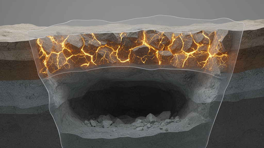
Engineers who design underground mines have long relied on a simple two-part picture of the rock mass above an excavation: a zone that is damaged and a zone that remains safe. A study published in the journal Geomechanics and Geophysics for Geo-Energy and Geo-Resources argues that this binary partitioning overlooks the most consequential ground of all, the unstable zone and the risk zone that sit between those extremes.
The starting point of the new approach is a close comparison of the partitioning schemes already in use. By analysing where traditional bedrock and bedrock-loose layer models disagree, the authors pin down the position and extent of the unstable zone that those models leave undefined. Because the position of those controlling layers changes the mechanical response of the whole overburden, the researchers split the model into two scenarios: one in which the key stratum lies at the top of the bedrock and one in which it sits in the middle.
For each scenario, the team examines the relationship between the periodic breakage interval of the key stratum, the distance over which it effectively supports the layers above, and the width of the unstable zone. That analysis yields quantitative partitioning models, named KLPM and KBLPM, corresponding to key strata at the top and middle of the bedrock respectively. The overburden is divided into a damage zone, a risk zone and a safe zone, and the authors derive theoretical formulas for calculating the area of each zone and the dimensions of the subsidence zone. The work is presented as a peer-reviewed, accepted research article published under open access on 23 September 2026.
Reliability was tested in two complementary ways: numerical simulations and physical experiments. According to the results reported in the abstract, the length of the mining advance is linearly proportional to the area of the subsidence zone and to the area of the damage zone. The area of the risk zone, by contrast, is proportional to the periodic breakage interval of the key stratum, meaning that the spacing between repeated fractures of the controlling layer, rather than the sheer length of the panel, governs how much ground falls into the intermediate category of elevated but not yet realised instability.
Those proportionalities give the method practical weight. A mine planner working through an early design can now estimate, from the expected panel advancement and the breakage behaviour of the key stratum, how much of the overburden will subside, how much will be damaged, and how much will remain merely at risk. The authors state that the established models provide valuable guidance for the early design and subsequent maintenance of underground projects, a framing that keeps the contribution in the domain of design support rather than a substitute for site-specific assessment.
The study is careful to position itself against the limitations of the traditional models it refines. The published highlights note that the differences and limitations of the conventional bedrock and bedrock-loose layer models in overburden stability partitioning were analysed before the new framework was constructed. That diagnostic step matters because the two-zone schemes in widespread use cannot express a risk condition at all; a stratum is either damaged or safe, leaving no formal vocabulary for the ground that is transitioning between the two states as mining proceeds.
For readers following mining geomechanics, the significance lies in the shift from qualitative zoning to measurable zoning. The combination of key strata theory with the bedrock-loose layer setting also ties the zoning directly to identifiable geological features, so the classification is anchored in the stratigraphy of a given site rather than in an abstract average.
The article appears in Geomechanics and Geophysics for Geo-Energy and Geo-Resources and is available open access, with the accepted manuscript shared early under the journal’s fast-access policy and carrying a permanent DOI. As with any modelling study validated through simulation and laboratory-scale physical experiments, the reported proportional relationships describe the conditions tested in that validation; applying the models to a particular mine will still require the geological parameters, especially key stratum position and breakage interval, to be determined for that site.
Subject of Research: Quantitative stability zoning of mining overburden using key strata theory
Article Title: Quantitative identification of stability zoning of overburden under critical mining disturbance: a refined method considering risk zone scenarios
Article References: Ren, J., Liu, S., Sun, Z., Cui, L., Wang, W., & Zhang, C. (2026). Quantitative identification of stability zoning of overburden under critical mining disturbance: a refined method considering risk zone scenarios. Geomechanics and Geophysics for Geo-Energy and Geo-Resources. https://doi.org/10.1007/s40948-026-01239-y
Image Credits: AI Generated
DOI: 10.1007/s40948-026-01239-y
Keywords: mining geomechanics, overburden stability, key strata theory, risk zoning, subsidence, bedrock-loose layer model, numerical simulation, physical experiments, underground mining, ground control, Quantitative, identification
Cite Scienmag News
Denise Maddox. (October 30, 2026). Refined zoning method maps unstable rock zones above mining operations. Scienmag. https://scienmag.com/refined-zoning-method-maps-unstable-rock-zones-above-mining-operations/
Denise Maddox. "Refined zoning method maps unstable rock zones above mining operations." Scienmag, 30 October 2026, https://scienmag.com/refined-zoning-method-maps-unstable-rock-zones-above-mining-operations/. Accessed 4 November 2026.
Denise Maddox. "Refined zoning method maps unstable rock zones above mining operations." Scienmag. October 30, 2026. https://scienmag.com/refined-zoning-method-maps-unstable-rock-zones-above-mining-operations/