


In a review published in Discover Environment, researchers Matthew Chidozie Ogwu and Olugbemiga Ojo Aliu introduce the Urban Heat–Exposure–Health axis, a translational framework designed to evaluate heat-related health risks in rapidly growing cities. The authors clarify that their paper provides an integrative narrative synthesis rather than an empirical trial, machine-learning implementation, or PRISMA-compliant systematic review. Traditional assessments of urban heat risk typically rely on basic temperature thresholds or static surface maps, which often overlook biological sensitivity, socioeconomic disparities, built infrastructure, and municipal governance mechanisms determining who experiences harm during extreme thermal events. Synthesizing evidence across urban climatology, environmental epidemiology, spatial analytics, and public policy, the authors establish a sequential structure to guide future empirical modeling, model calibration, and public health decision-support systems rather than presenting an already validated predictive tool.
The synthesis documents how rapid urbanization intersects with climate warming to intensify ambient heat exposure, particularly through the urban heat island effect. Built environments replace natural landscapes with impervious surfaces such as asphalt and concrete, which absorb and retain substantial solar radiation. Projections indicate that approximately 68 percent of the global population will reside in urban centers by 2050, straining municipal healthcare systems during heat emergencies. A critical scientific tension highlighted in the review is the operational distinction between land surface temperature and near-surface air temperature. While satellite sensors capture radiative thermal profiles of surface materials, canopy-layer air temperature represents the thermal condition directly experienced by residents. Variations in urban morphology, street canyon geometry, building density, and vegetation cover create microclimate heterogeneity, causing daytime and nighttime heat retention to fluctuate substantially over short geographical distances.
At the physiological level, the paper details biological pathways through which sustained thermal stress damages human health. Elevated temperatures challenge thermoregulatory mechanisms, pushing sweating efficiency and cutaneous blood flow toward physiological limits and precipitating heat exhaustion or heat stroke. The review cites epidemiological research by Kovats and colleagues demonstrating a 3.3 percent increase in all-cause mortality for every 1 °C rise in ambient temperature above 21.5 °C, illustrating cardiovascular sensitivity to incremental thermal loading. Furthermore, chronic thermal exposure accelerates dehydration and metabolic disturbance, which Glaser and colleagues link to acute kidney injury and heat stress nephropathy. These physiological burdens are compounded in urban atmospheres by interactions with air pollutants such as ground-level ozone and particulate matter. Elevated nighttime temperatures hinder physiological recovery, causing sleep disruption and autonomic strain that amplify cumulative cardiovascular and metabolic risks during multi-day heatwaves.
The framework establishes that biological sensitivity cannot be evaluated apart from socio-spatial inequalities, as heat vulnerability functions as an integrated social and physiological system. Demographic groups exhibit starkly divergent risk profiles; older adults frequently have diminished thermoregulatory efficiency and chronic disease burdens, while children possess distinct hydration dependencies and rely heavily on adult caregivers during heatwaves. However, social vulnerability also dictates who resides in the most hazardous thermal environments. Lower-income households and racial or ethnic minority communities often occupy neighborhoods shaped by historical disinvestments, such as redlining, which feature higher densities of impervious pavement, minimal tree canopy, and degraded housing stock. Residents in these areas frequently lack mechanical air conditioning, energy-reliable shelter, and nearby healthcare facilities. The authors stress that demographic risk indicators must not be transferred uncritically across different urban regions without local empirical calibration.
To organize these multi-dimensional interactions into an actionable structure, the Urban Heat–Exposure–Health axis establishes an explicit causal chain. The sequence proposes that urban morphology dictates localized thermal loads; thermal loads induce physiological strain; social vulnerability amplifies individual exposure while constraining adaptive capacity; healthcare system infrastructure mediates rates of morbidity and mortality; and institutional governance interventions provide structural feedback. The authors note that existing heat vulnerability indices often rely on subjective indicator weighting schemes and diverse spatial aggregation boundaries, yielding contradictory risk designations for identical urban neighborhoods. By transforming vulnerability mapping from a static overlay into an operational pathway, the framework identifies measurable variables for each link in the causal chain. This conceptual architecture allows future researchers to test predictive assumptions systematically using epidemiological models or machine-learning algorithms, evaluating the relative contribution of built form, microclimate, socioeconomic deprivation, and health service accessibility against observed patient outcomes.
Operationalizing this predictive pathway requires a multi-source data architecture resolving the limitations of single-sensor approaches. The review underscores that satellite-derived land surface temperature data, such as daily products from Moderate Resolution Imaging Spectroradiometer instruments, offer extensive spatial coverage of surface hotspots but cannot resolve microclimate variations, wind, humidity, or indoor temperatures. Conversely, standardized ground-based weather stations provide continuous air temperature observations but often lack sufficient spatial density across heterogeneous urban neighborhoods. The proposed data pipeline requires harmonizing remote sensing imagery, in situ sensor networks, and numerical climate simulations alongside clinical indicators. These health data streams encompass emergency department attendances, hospital admissions, ambulance dispatches, syndromic surveillance registries, and certified mortality records. Methodological protocols must incorporate data harmonization, cross-sensor calibration, spatial downscaling, and statistical imputation to rectify measurement discrepancies, temporal lags, spatial misalignment with census boundaries, and class imbalances associated with rare severe outcomes.
When formulating future analytical strategies, the authors advise that predictive modeling initiatives must prioritize interpretable statistical baselines before deploying complex machine-learning architectures. Classical methods such as generalized linear models, generalized additive models, quasi-Poisson regressions, and distributed lag non-linear models are critical for capturing non-linear exposure-response relationships and lagged health effects while providing transparent benchmarks. Subsequent empirical investigations may explore candidate machine-learning architectures, including random forests, extreme gradient boosting, support vector machines, neural networks, and spatiotemporal ensemble algorithms. However, the authors stress that machine-learning deployments in public health cannot function as opaque computational systems. Transparent feature-importance metrics and explainable artificial intelligence techniques are required to help municipal stakeholders comprehend the environmental and structural variables driving localized predictions. Rigorous sensitivity testing across multiple temperature thresholds, exposure durations, and demographic subgroups must validate these algorithms before operational integration into healthcare workflows.
A central methodological imperative articulated throughout the review is the necessity of rigorous spatial cross-validation and empirical testing of model transferability. Urban climates, housing fabrics, demographic structures, and population acclimatization thresholds vary considerably across different geographical areas. Citing empirical observations by Lehnert and colleagues, the authors note that heat-health vulnerability relationships documented in one jurisdiction cannot be assumed to perform accurately in external urban contexts without direct verification. Predictive models must therefore undergo structured spatial cross-validation, training algorithms on designated urban sectors and testing their generalizability across geographically isolated districts. The authors caution against assessing model performance solely through aggregate citywide statistical accuracy metrics, such as overall error rates. Evaluators must specifically quantify calibration errors, false-negative rates, and predictive accuracy across marginalized demographic cohorts to prevent algorithmic systems from systematically masking critical health risks among low-income communities, informal settlement residents, outdoor laborers, or institutionalized elderly populations.
Although the authors do not conduct empirical validation in their manuscript, they highlight the operational experience of Ahmedabad, India, as an illustrative governance archetype for applying the framework within rapidly urbanizing regions of the Global South. Following a catastrophic heatwave in 2010, municipal authorities in Ahmedabad pioneered South Asia’s first comprehensive Heat Action Plan. The initiative established early meteorological warning triggers, interagency emergency protocols, targeted outreach for high-risk demographic groups, public cooling spaces, and hospital surge preparations. Subsequent research evaluations by Hess and colleagues, as well as Dutta and colleagues, demonstrated that formalized alert days and coordinated intervention measures were associated with noticeable reductions in summertime all-cause mortality during severe temperature spikes. The Ahmedabad operational model demonstrates how environmental surveillance, social vulnerability assessments, and health sector mobilization can converge into an institutional feedback loop, validating the real-world utility of linking predictive thermal intelligence directly to proactive municipal interventions.
Moving beyond reactive disaster response, the framework advocates integrating predictive intelligence into automated early warning systems, real-time risk dashboards, and institutional policy triggers. Standard municipal warnings frequently rely on static regional temperature thresholds that fail to detect significant health impacts occurring at lower thermal levels, particularly among physiologically sensitive populations. The Urban Heat–Exposure–Health architecture promotes dynamic dashboards that fuse real-time environmental measurements with epidemiological forecasting, automatically alerting healthcare facilities, ambulance networks, and community organizations before emergency capacity is overwhelmed. To ensure environmental equity, the authors argue that warning systems must incorporate accountable governance safeguards. Municipalities must verify that public health alerts, neighborhood cooling centers, and protective resources reach historically neglected neighborhoods rather than remaining confined to affluent districts. Furthermore, communication strategies must be contextually appropriate, culturally accessible, and delivered in local languages to ensure that vulnerable residents can effectively implement protective behavioral adaptations during extreme weather events.
Ultimately, Ogwu and Aliu emphasize the foundational boundaries of their contribution, reiterating that the Urban Heat–Exposure–Health framework remains a conceptual and translational hypothesis that has not yet undergone empirical validation or mathematical parameter estimation. The review generated no new datasets and analyzed no primary epidemiological registries, meaning the proposed predictive relationships must be verified against retrospective and prospective observational data across diverse global cities. The authors identify major methodological frontiers that require urgent scholarly attention, including the compilation of longitudinal heat-health datasets, resolving data scarcity in informal settlements through participatory citizen science methodologies, and developing ethical data governance frameworks that safeguard individual patient privacy while facilitating equitable research access. Until future empirical studies validate the framework against observed hospital admissions, ambulance call-outs, and mortality statistics, it serves as an analytical roadmap guiding municipalities toward anticipatory, equity-centered, and climate-resilient public health governance.
Subject of Research: Integrative conceptual framework for predicting urban heat-related health risks
Article Title: Predicting heat-related health risks in rapidly urbanizing cities
Article References: Ogwu, M. C., & Aliu, O. O. (2026). Predicting heat-related health risks in rapidly urbanizing cities. Discover Environment, 4(1), Article 635. https://doi.org/10.1007/s44274-026-01177-2
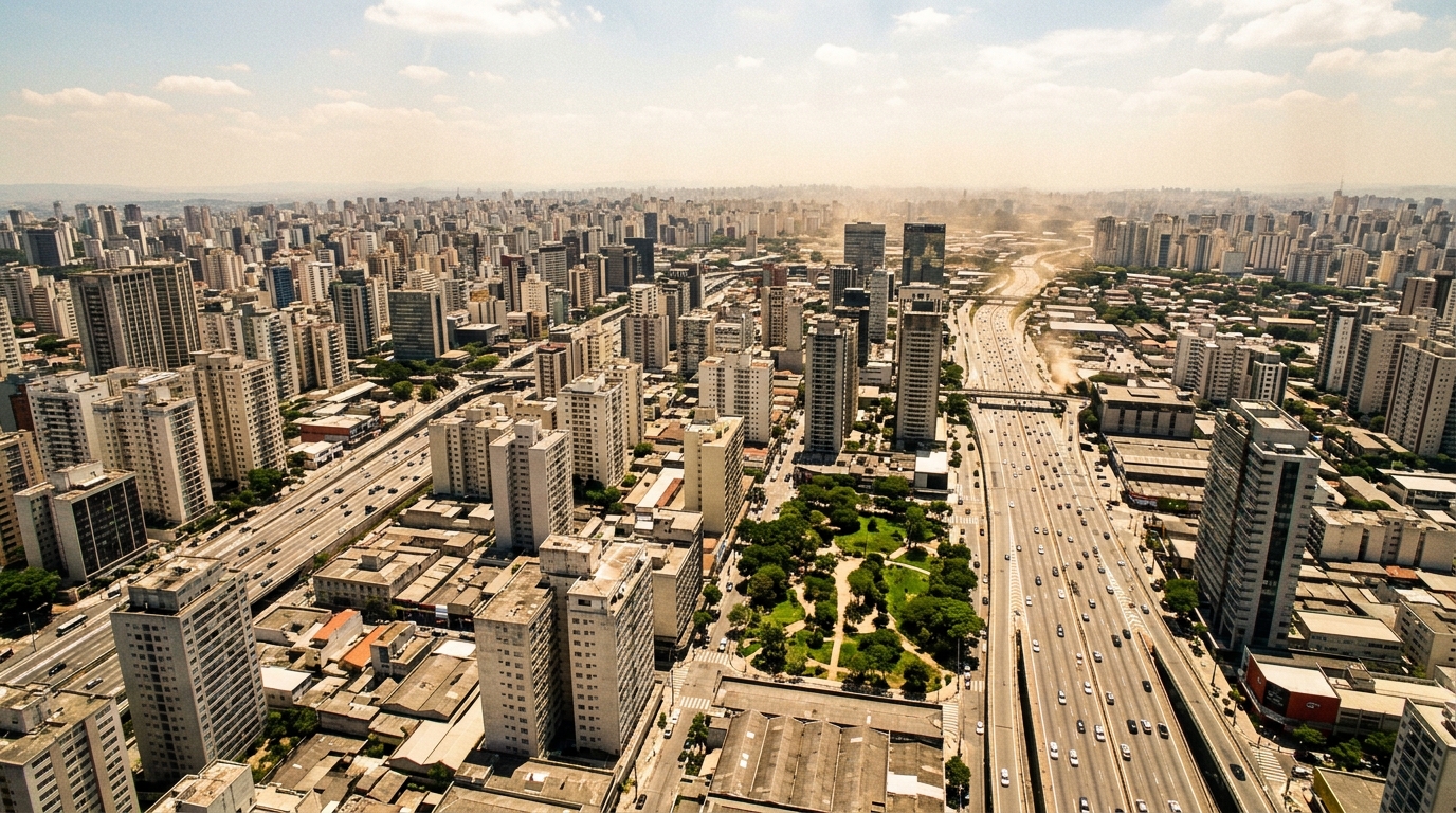
Image Credits: AI Generated
DOI: 10.1007/s44274-026-01177-2
Keywords: urban heat island, climate change, public health, predictive modeling, environmental epidemiology, social vulnerability, early warning systems, urban morphology, Predicting, heat-related, health, risks
Cite Scienmag News
Phoebe Ingram. (November 7, 2026). New Predictive Framework Maps Heat Risks in Rapidly Expanding Cities. Scienmag. https://scienmag.com/new-predictive-framework-maps-heat-risks-in-rapidly-expanding-cities/
Phoebe Ingram. "New Predictive Framework Maps Heat Risks in Rapidly Expanding Cities." Scienmag, 7 November 2026, https://scienmag.com/new-predictive-framework-maps-heat-risks-in-rapidly-expanding-cities/. Accessed 9 November 2026.
Phoebe Ingram. "New Predictive Framework Maps Heat Risks in Rapidly Expanding Cities." Scienmag. November 7, 2026. https://scienmag.com/new-predictive-framework-maps-heat-risks-in-rapidly-expanding-cities/




