
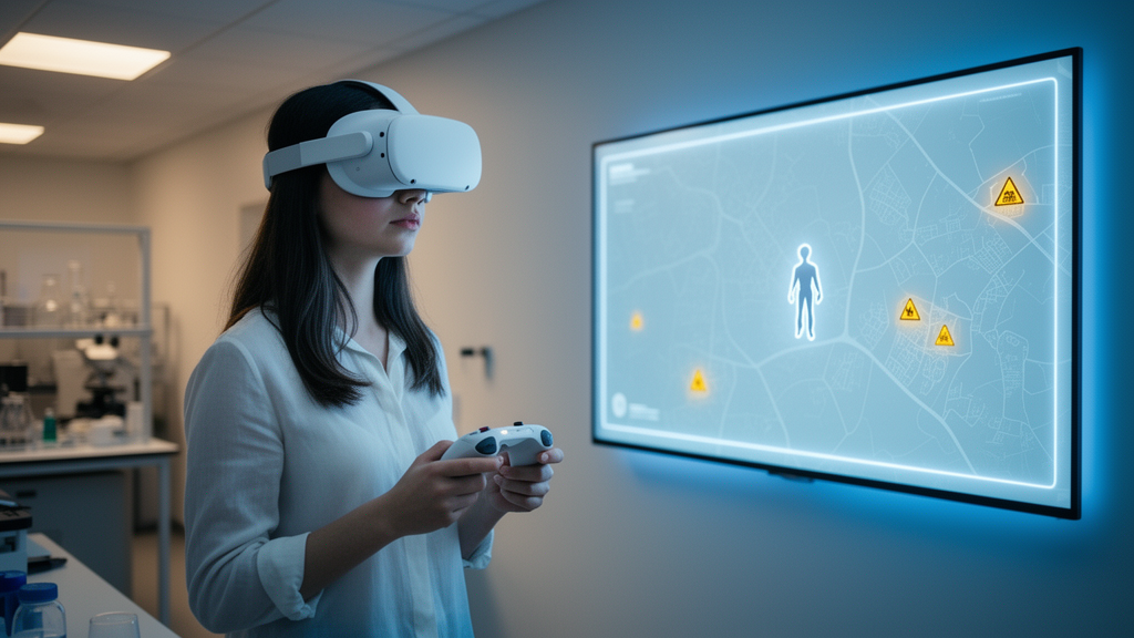
Navigation apps are good at telling people where to go, but a new virtual reality study suggests they could do more to tell people where not to go. Researchers report that two different types of virtual safety cues both helped participants avoid danger zones while wayfinding in an immersive simulated environment, but only one of them—a screen-fixed minimap offering a bird’s-eye view—significantly reduced participants’ momentary anxiety and increased their willingness to walk the same route in the real world.
The study, published in the journal Cognitive Research: Principles and Implications, was motivated by a gap in how current navigation systems handle rapidly changing threats. Mobile phones and in-car displays routinely alert users to road closures, construction zones, and traffic conditions, but the authors note that these applications often fail to dynamically update safety information in response to fast-moving hazards such as public safety incidents. In emergencies, directional guidance alone may not be enough to help a navigator reach a point of safety, since people must make rapid decisions under increased cognitive load and stress.
To test how safety information might be conveyed, the team, led by Ashley M. Buzard with colleagues including Yu Zhao, Monika Lohani, Bobby Bodenheimer, Sarah Creem-Regehr, and Jeanine Stefanucci, framed the work as an intermediate step toward augmented reality (AR) safety navigation aids. They compared two cue designs in a virtual reality environment simulating a safety-critical scenario. The first was a world-fixed, egocentric ground-area (GA) cue that visually highlighted danger zones directly in the environment where the participant was walking. The second was a screen-fixed, allocentric minimap (MM) that provided a global, bird’s-eye view of the danger areas and the surrounding layout.
Participants carried out a free-navigation, goal-directed wayfinding task: they navigated to a target beacon, answered affective questions on every trial to capture momentary states such as spatial anxiety, and then pointed to the last known threat location so the researchers could assess spatial memory. This trial-by-trial anxiety measure is one of the study’s stated methodological contributions, allowing the team to track how participants’ states shifted around the cues and the hazardous situation rather than relying on a single retrospective rating.
The behavioral results showed that both cue types were associated with minimal time spent in danger zones, indicating that either design could support hazard avoidance during navigation. The differences emerged in the affective and decision-related measures. Compared with the ground-area cue, the minimap significantly decreased participants’ spatial anxiety ratings and increased their reported willingness to walk the same route in the real world.
Spatial memory performance followed a different pattern. Higher self-reported navigation ability predicted better memory for the last known threat location within the virtual environment, pointing to individual differences as a factor in how well people retain hazard information from safety cues. The authors emphasize that such differences in states and traits may shape safe navigation decisions, an aspect their trial-by-trial methodology was designed to capture.
The researchers are careful to position the findings as preliminary. The work took place entirely in virtual reality with a wayfinding task toward a target beacon, and the authors describe it as an initial step toward understanding how virtual cue design affects navigation behavior, affective states, and spatial memory in safety-critical environments. It does not test an actual AR deployment in real-world emergencies, and the simulated threats and laboratory task may differ from the conditions people would face outside the lab. The article is also being shared early as a peer-reviewed accepted manuscript that is citable but still subject to further edits before the final version of record.
Even so, the study broadens the typical scope of navigation research, which has largely focused on virtual graphics that provide directional guidance for efficient everyday wayfinding. By systematically evaluating cues designed specifically for hazard avoidance, and by measuring anxiety around those cues on a trial-by-trial basis, the authors extend existing cueing paradigms beyond route guidance. Their results indicate that virtual graphics can serve as intuitive signals of dangerous areas, potentially supporting safer navigation and reducing momentary state anxiety in situations where rapid, informed decisions are essential.
Subject of Research: Virtual navigation cues for hazard avoidance and spatial anxiety in safety-critical wayfinding
Article Title: Caution ahead: virtual cues for safer wayfinding
Article References: Buzard, A. M., Zhao, Y., Lohani, M., Bodenheimer, B., Creem-Regehr, S., & Stefanucci, J. (2026). Caution ahead: virtual cues for safer wayfinding. Cognitive Research: Principles and Implications. https://doi.org/10.1186/s41235-026-00748-4
Image Credits: AI Generated
DOI: 10.1186/s41235-026-00748-4
Keywords: virtual reality, navigation, wayfinding, augmented reality, minimap, spatial anxiety, spatial memory, hazard avoidance, safety cues, cognitive research, egocentric cue, allocentric cue
Cite Scienmag News
Glenn Wilkins. (October 29, 2026). Minimap cues ease anxiety in virtual hazard navigation study. Scienmag. https://scienmag.com/minimap-cues-ease-anxiety-in-virtual-hazard-navigation-study/
Glenn Wilkins. "Minimap cues ease anxiety in virtual hazard navigation study." Scienmag, 29 October 2026, https://scienmag.com/minimap-cues-ease-anxiety-in-virtual-hazard-navigation-study/. Accessed 30 October 2026.
Glenn Wilkins. "Minimap cues ease anxiety in virtual hazard navigation study." Scienmag. October 29, 2026. https://scienmag.com/minimap-cues-ease-anxiety-in-virtual-hazard-navigation-study/