


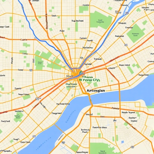
In the rapidly evolving world of urban development, the importance of mapping and understanding road networks has never been more critical. A new study by researchers Ahad, Rashid, and Shah highlights innovative methodologies that leverage volunteered geographic information (VGI), particularly from platforms like OpenStreetMap (OSM). These advancements aim to decode the complexities of road network patterns in developing cities. The implications of this work are vast, offering insights that could transform urban planning and public policy.
The concept of VGI is rooted in the widespread accessibility of geospatial technology, allowing ordinary citizens to contribute to the creation and updating of geographic information. What makes OSM particularly compelling is its open-source nature, inviting a diverse array of users—from amateur map enthusiasts to professional cartographers—to input crucial data about the road networks in their localities. In developing regions, where official cartographic data is often scarce, this grassroots approach fills significant information gaps and enhances the spatial awareness of urban settings.
Mapping road networks is more than just creating visuals; it entails understanding the underlying patterns and connections that define how cities function. The authors of the study meticulously analyzed road networks using data pulled from OSM, focusing on a selection of developing cities. They utilized advanced geospatial analysis techniques to discern patterns in connectivity, road density, and the overall structure of these networks, highlighting significant discrepancies when compared to urban areas in developed nations.
One of the most striking findings from the research is the variability of road network structures across different cities. Some cities exhibit a highly interconnected grid-like pattern, facilitating efficient movement and access to resources. In contrast, others display a fragmented layout that can hinder transportation and contribute to urban sprawl. These structural differences are essential for urban planners and policymakers, who must address the unique challenges faced by their cities.
The study also sheds light on the potential for community-driven data collection to inform urban development strategies. By empowering local citizens to contribute their insights about road conditions and usage, urban planners can make data-informed decisions that accurately reflect the needs and priorities of residents. This participatory approach stands in stark contrast to traditional top-down urban planning methods, offering a more inclusive model that could enhance civic engagement and foster stronger community ties.
Moreover, the reliability and accuracy of VGI data in comparison to traditional data sources has been a contentious topic. The researchers behind this study tackled these concerns head-on, employing rigorous validation techniques to ensure that the data sourced from OSM met established accuracy standards. By demonstrating that volunteer-generated data can be just as reliable, if not more so, than official datasets, the study paves the way for broader acceptance of VGI in professional domains.
As urban areas continue to grow in size and complexity, the need for adaptive planning methods becomes increasingly urgent. The insights gleaned from this research offer a roadmap for leveraging technological advancements to tackle urban challenges. By integrating VGI with traditional data sources, cities can create more resilient infrastructures that not only accommodate current populations but can also adapt to future growth and changes in urban dynamics.
What is particularly encouraging is the broader applicability of the study’s findings. While the focus was on developing cities, the methodologies utilized can be adapted to analyze urban environments across the globe. This universality means that insights drawn from this research could be instrumental in addressing urban issues in a variety of contexts, potentially leading to more sustainable and equitable urban living spaces.
The implications of these findings extend beyond academia; they resonate deeply with real-world applications. Local governments, urban planners, and community organizations can utilize this information to advocate for infrastructure improvements, enhance public transport systems, and ultimately work towards creating more livable cities. As the role of technology in civic engagement continues to grow, the study represents a crucial leap towards more democratic and informed urban planning processes.
In conclusion, the exploration of road network patterns through volunteered geographic information offers unprecedented potential for understanding and improving urban environments. This research not only serves as a wake-up call to the importance of utilizing community-generated data, but it also signals a shift in how urban development can and should occur in an increasingly interconnected world. The study encourages a rethinking of traditional paradigms in urban planning, advocating for a more inclusive and adaptive approach that draws on the strengths of local knowledge and expertise.
Ultimately, this groundbreaking work by Ahad, Rashid, and Shah is set to influence future research and policy-making efforts aimed at fostering more integrated and resilient urban developments, particularly in areas where resources and information are scarce. The road ahead for urban studies is bright, illuminated by the insights gained from such innovative methodologies.
Ahad, F., Rashid, H., Shah, S.A. et al. Towards mapping road network patterns from volunteered geographic information: a case of openstreetmap in developing cities. Discov Cities 2, 86 (2025). https://doi.org/10.1007/s44327-025-00128-5
Cite Scienmag News
Courtney Benton. (November 21, 2025). Mapping Road Networks in Developing Cities with OpenStreetMap. Scienmag. https://scienmag.com/mapping-road-networks-in-developing-cities-with-openstreetmap/
Courtney Benton. "Mapping Road Networks in Developing Cities with OpenStreetMap." Scienmag, 21 November 2025, https://scienmag.com/mapping-road-networks-in-developing-cities-with-openstreetmap/. Accessed 5 September 2026.
Courtney Benton. "Mapping Road Networks in Developing Cities with OpenStreetMap." Scienmag. November 21, 2025. https://scienmag.com/mapping-road-networks-in-developing-cities-with-openstreetmap/


