In a groundbreaking study published in the journal “Environmental Monitoring and Assessment,” researchers Abdelrahim and Jin have brought to light the intricate distribution and mapping of maize across Africa. Incorporating both radar and optical imagery, this innovative approach provides a more nuanced understanding of maize cultivation, a staple crop vital for food security across the continent. The study’s findings signify a colossal leap forward in agricultural monitoring, leveraging advanced technologies that can significantly benefit farmers, policymakers, and researchers alike.
Using a combination of satellite data, the researchers were able to create detailed maps that illustrate not only where maize is grown but also the dynamics of its growth in varying climatic and ecological zones. The capabilities of radar imagery to penetrate cloud cover add a critical dimension to the analysis, allowing for year-round monitoring. This methodology proves essential in a continent where weather patterns can often hinder agricultural planning and forecasting.
For decades, Africa has faced challenges in tracking crop production accurately due to limitations in available data and technology. Traditional methods have often relied on ground surveys, which can be time-consuming and limited in scope. However, this new study spearheaded by Abdelrahim and Jin exemplifies how satellite imagery can overcome these challenges. By harnessing both optical and radar data, their work sets a precedent for future agricultural studies, advocating for enhanced precision in mapping crop distributions.
The researchers employed a suite of advanced analytical techniques to derive meaningful insights from the abundant data collected. By merging high-resolution optical imagery that captures visible light with radar data revealing structural differences in the crops, they were able to produce multi-faceted visualizations of maize fields throughout Africa. These integrated maps empower stakeholders to make informed decisions regarding agricultural practices, resource allocation, and food security strategies.
As nations push towards achieving food self-sufficiency and sustainability, the implications of such research cannot be overstressed. By identifying areas with rising maize production or zones facing climatic hardships, governments can craft targeted interventions that bolster agricultural resilience. Furthermore, farmers can gain timely insights into optimal planting times and crop management strategies tailored to their unique environmental conditions.
Preserving maize as a key ingredient in many African diets, the study draws attention to the crop’s significance beyond mere agriculture—it serves as a cultural icon and a critical economic driver for countless communities. The detailed mapping of maize across the continent can support local economies by enhancing market access and encouraging investment in infrastructure that facilitates the transport and trade of produce.
The culmination of this research signifies a proactive step towards addressing food insecurity in Africa. Policy implications drawn from this data could lead to adaptive practices that align agricultural outputs with dietary needs, thus alleviating hunger and malnutrition problems prevalent in many regions. Enhanced visibility into crop distributions means policymakers can prioritize areas requiring immediate aid or development initiatives.
In addition, the integration of radar and optical imagery exemplifies an essential move towards adopting technology in improving agricultural practices. As more nations embrace digital farming solutions, studies like this shine a light on the cascading effects of technology on agriculture, revealing the potential for larger-scale collaborations across different sectors and fields. There is a strong push for embracing these sophisticated monitoring tools, especially in regions where traditional agricultural practices have created inefficiencies.
The research also embraces the issue of climate change, as maize crops are highly sensitive to environmental variables. With climatic conditions shifting regularly, understanding the distribution patterns becomes central to adapting agricultural practices to ensure continuity of food supply. Mapping these patterns enables stakeholders to anticipate changing conditions and adapt accordingly, fostering a climate-resilient agricultural sector.
Furthermore, the methodologies illustrated in this research may serve as foundational frameworks for additional studies across various crops in different ecological zones. Scalability is a crucial aspect, suggesting that employing similar techniques could lend insights into other staple crops, ultimately enhancing agriculture-wide resilience. The operationalization of satellite data and analytics can extend to a broader range of crops on the continent.
Despite its promising findings, the research implores further inquiry into technological accessibility and educational outreach. Not all farmers may have immediate access to satellite-driven insights. Thus, it becomes imperative to develop mechanisms that translate this data into user-friendly formats, equipping farmers with the information needed to adapt to changing agricultural landscapes. Closing the technology gap will be vital to ensure fair access to agricultural advancements.
Moreover, ongoing projects should consider community engagement strategies that foster knowledge-sharing and collaborative approaches among farmers, scientists, and policymakers. Through collective efforts, the agricultural sector can position itself at the forefront of addressing not only food security concerns but also sustainability and environmental stewardship.
This study lays the groundwork for future investigations, not only in the realm of maize but in understanding agricultural trends and distributions across an increasingly complex global landscape. Researchers are now tasked with the challenge of further leveraging emerging technologies, refining methodologies to capture data that can benefit agricultural sectors at large.
In conclusion, the work of Abdelrahim and Jin serves as a reminder of the significance of advanced technologies in contemporary agricultural practices. By marrying radar and optical observations, their research reflects a move towards smarter farming solutions that prioritize food security in the age of climate change. As we embrace these innovations, the future of agriculture in Africa appears ripe with promise, ready to foster a greener and more sustainable tomorrow.
Subject of Research: Mapping and Distribution of Maize in Africa.
Article Title: Continental maize mapping and distribution in Africa by integrating radar and optical imagery.
Article References: Abdelrahim, N.A.M., Jin, S. Continental maize mapping and distribution in Africa by integrating radar and optical imagery. Environ Monit Assess 197, 1072 (2025). https://doi.org/10.1007/s10661-025-14502-8
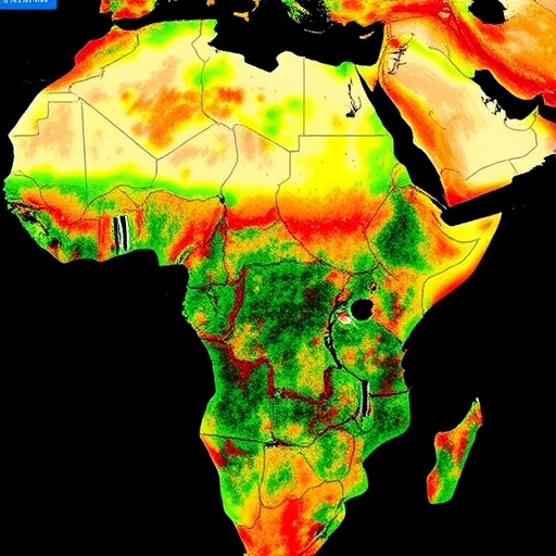
Image Credits: AI Generated
DOI:
Keywords: Maize, mapping, Africa, radar imagery, optical imagery, agriculture, food security, climate change, technology, sustainability.
