In a groundbreaking study published in Environmental Earth Sciences, researchers Berge, Drahor, and Ongar delve into the intricate subsurface features of Western Türkiye, specifically targeting the region of Soma in Manisa. Their work harnesses the power of integrated geophysical methods to unravel the complexity of catchment areas, which are crucial for sustainable water resource management and environmental planning in this tectonically dynamic zone. This meticulous examination offers fresh insights into geological formations and hydrological behaviors otherwise concealed beneath the surface.
The study’s focal point rests on a multifaceted approach that combines various geophysical data sets to create a more comprehensive model of the subsurface. By integrating resistivity measurements, seismic refraction data, and electromagnetic surveys, the researchers transcend the limitations posed by individual techniques when used in isolation. This integrated methodology significantly enhances the interpretation accuracy of catchment boundaries and underground water flow paths, leading to more effective groundwater management strategies.
Western Türkiye, characterized by complex tectonic activity due to the convergence of the African, Eurasian, and Arabian plates, presents unique challenges for hydrogeological investigations. The area’s structural heterogeneity results in varied sediment deposition and fault networks, which critically influence groundwater storage and movement. Previous studies often struggled with delineating catchment extents in this region, but the innovative framework proposed by Berge and colleagues provides a robust solution by utilizing synchronized geophysical datasets to pinpoint subtle subsurface anomalies indicative of catchment limits.
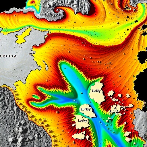
Central to their analysis is the interpretation of resistivity data, which offers clues about the conductive properties of various subsurface materials. Typically, saturated zones exhibit lower resistivity compared to unsaturated or bedrock formations. By layering resistivity measurements with seismic refraction profiles, which reveal variations in subsurface wave velocity, the research team could discern lithological contrasts and identify zones of potential aquifer recharge and discharge. This nuanced understanding plays a pivotal role in characterizing water availability and quality in the catchment area.
The application of electromagnetic (EM) methods further supplements these findings by mapping spatial variations in conductivity related to fluid content and mineral composition. These EM surveys, sensitive to the presence of conductive minerals and groundwater, help resolve ambiguities arising from resistivity and seismic data alone. The triangulation of these techniques empowers researchers to generate detailed subsurface maps that unveil hidden hydrological conduits and barriers, essential for resource exploitation and hazard assessment.
Geological fault structures, pervasive in the Soma region, act both as conduits and impediments to groundwater flow. The integrated geophysical interpretation illuminates fault geometries and their hydrogeological significance, providing empirical evidence for fault-controlled aquifer segmentation. Understanding such structural controls is vital for predicting groundwater recharge zones and preventing overexploitation of critical water stores in this water-stressed locale.
Beyond the immediate hydrogeological implications, this investigation contributes significantly to the broader field of environmental geoscience by demonstrating the synergistic potential of combining diverse geophysical tools. The case study in Western Türkiye exemplifies how integration surpasses conventional single-method surveys to deliver high-resolution, reliable subsurface models. Such advancements are pivotal for informed decision-making in regions facing increased pressures from urban expansion, agriculture, and climate change.
Hydrological catchment delineation is a critical component in managing water resources sustainably, especially in semi-arid climates like that of the Aegean region of Türkiye. The multi-layered approach of this study allows for precise identification of catchment boundaries, which is essential for calculating runoff, recharge rates, and predicting flood risks. This level of detail aids local authorities and environmental planners in designing infrastructure that aligns with natural water flow and storage patterns, minimizing environmental impact.
The methodology’s adaptability is worth noting. While the study zeroes in on Soma, the integrated geophysical framework holds promise for application in other regions with similarly complex geological settings. This transferability expands the toolset available to earth scientists globally, particularly those tasked with managing scarce water resources in challenging terrains. It also paves the way for future innovations where geophysical techniques can be combined with remote sensing and machine learning to further refine subsurface interpretations.
Key to the success of this approach is not only the data acquisition but also the sophisticated data processing and modeling algorithms employed. The team utilized advanced inversion techniques to reconcile the geophysical signals with geological hypotheses, thereby reducing uncertainties inherent in subsurface studies. Such computational rigor ensures that interpretations are not only scientifically robust but also practically actionable, enabling stakeholders to utilize the results confidently.
The study also underscores the importance of continuous monitoring. While the initial integrated survey offers a snapshot of the subsurface dynamics, ongoing geophysical measurements allow tracking changes over time, such as groundwater level fluctuations or sediment compaction. This temporal dimension adds another layer of understanding, particularly in response to climatic variability and anthropogenic influences, critical for adapting water management strategies proactively.
Environmental sustainability remains a cornerstone of this research, as accurate catchment mapping directly influences groundwater conservation strategies. By delineating recharge areas and natural barriers, the integrated geophysical data helps protect vulnerable aquifers from contamination and overuse. In an era where water scarcity looms large globally, such refined understanding helps optimize resource allocation, ensuring that development and conservation efforts find a delicate balance.
In a broader geoscientific context, the study shines light on the interplay between tectonics, hydrology, and environmental engineering. The insights drawn from the Soma region challenge existing paradigms and encourage the scientific community to adopt more holistic and integrative research methodologies. This paradigm shift is likely to inspire future investigations across various geological settings, emphasizing interdisciplinary collaboration.
Ultimately, Berge, Drahor, and Ongar’s research represents a significant leap forward in geophysical exploration applied to hydrological catchment identification. Their integrated approach sets a new standard for precision and reliability, equipping geoscientists, environmentalists, and policymakers with the knowledge necessary to tackle pressing water resource challenges in Türkiye and beyond. This innovative study not only advances scientific understanding but also exemplifies how technical ingenuity can drive practical solutions for sustainable environmental management.
Subject of Research: Interpretation of integrated geophysical data for catchment identification in Western Türkiye (Soma, Manisa)
Article Title: Interpretation of integrated geophysical data for catchment identification in Western Türkiye (Soma, Manisa)
Article References:
Berge, M.A., Drahor, M.G. & Ongar, A. Interpretation of integrated geophysical data for catchment identification in Western Türkiye (Soma, Manisa). Environ Earth Sci 85, 91 (2026). https://doi.org/10.1007/s12665-026-12836-1
Image Credits: AI Generated
