


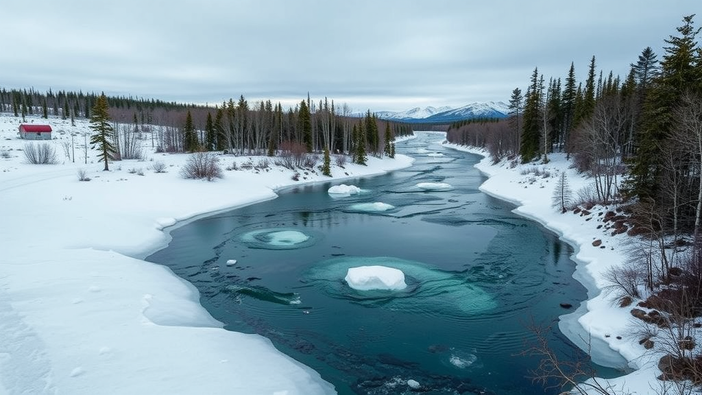
Beneath the frozen surface of the Kuuguluk River in Salluit, a small Inuit community in Nunavik, Québec, scientists have confirmed the existence of a liquid-water oasis hidden inside one of the harshest permafrost environments on Earth. A new study published in Hydrogeology Journal presents the first hydrochemical and isotopic characterization of this so-called river talik—a corridor of unfrozen ground that persists year-round beneath the river channel—and the results suggest it could serve as a reliable, perennial source of drinking water in a region where surface waters freeze solid for much of the year. The research, led by Benoit Faucher of the Geological Survey of Canada, together with Nicolas Benoit, Paul R. Gammon and Richard Fortier, offers a rare chemical fingerprint of groundwater flowing through permafrost terrain and carries implications for Arctic communities far beyond Salluit.
The challenge the study addresses is stark. In subarctic and Arctic Canada, ice cover on lakes and rivers can penetrate the entire water column for up to eight months, cutting communities off from their most obvious water reservoirs during the long winter. At the same time, permafrost in many northern settlements is so thick—up to several hundred meters—that drilling down to subpermafrost groundwater is technically or economically unfeasible. River and lake taliks, which remain unfrozen because the overlying water body moderates ground temperatures, have long been proposed as a promising alternative. If a talik is large enough and hydraulically connected to permeable sediments, it can store and transmit groundwater of sufficient quantity and quality to meet a community’s needs, without the enormous expense of drilling through deep frozen ground.
Salluit sits in a narrow, glacially carved valley about two kilometers long and five hundred meters wide, flanked by bedrock slopes rising 360 to 450 meters above sea level. The community lies squarely within the continuous permafrost zone, where average annual air temperatures hovered around minus 6.2 degrees Celsius between 2003 and 2017. After deglaciation roughly 8,600 to 8,700 years ago, the valley was flooded by the d’Iberville Sea, which blanketed glaciofluvial and till deposits with fine-grained marine sediments. These marine deposits are frost-susceptible and ice-rich, with low hydraulic conductivity that limits vertical groundwater movement. Yet beneath the Kuuguluk River corridor, a perennial talik extends through these marine deposits into shallow fractured bedrock, developing mainly within permeable sandy-silty shallow-marine sediments that form the region’s principal potential aquifer.
Earlier work by researchers at Université Laval, including Liu and colleagues, had used electrical resistivity tomography and three-dimensional cryo-hydrogeological modeling to map the geometry of this talik system. During winter, ground freezing disconnects the talik from surface water inputs, building pressure until groundwater periodically discharges through ice fractures and forms layered icings on the floodplain. What remained unknown was the origin, recharge history and residence time of the water inside the talik aquifer—critical questions for a community that already draws drinking water from an artesian well drilled into the fractured rock beneath the river.
To answer these questions, the team established three monitoring well sites along the Kuuguluk River in October 2024, installing wells above and within the talik using a direct push and rotary percussion drilling system adapted for cold regions. Real-time drilling sensor data allowed them to reconstruct the stratigraphy: two to nearly five meters of gravelly sandy alluvium overlying one to almost four meters of marine sediments, followed by glacial deposits and diamicton. The permafrost table was encountered at roughly eight to nine meters depth. Hydraulic head measurements revealed an upward gradient from the deeper, semi-confined aquifer toward the shallow zone and the river itself, consistent with groundwater discharging through the talik into the Kuuguluk River.
The chemical results painted a picture of youthful, actively circulating water. Both surface water and groundwater samples showed a calcium–bicarbonate composition, with generally low mineral saturation indices indicating minimal water–rock interaction. Stable water isotopes—deuterium and oxygen-18 ratios—plotted slightly below the Global Meteoric Water Line, suggesting modest evaporative enrichment before sampling. Most striking were the tritium concentrations, which ranged from 8.48 to 11.52 tritium units across all samples. These values closely match recent precipitation measured and modeled at Churchill, Manitoba, the nearest community at similar latitude with tritium data, confirming that the system is dominated by modern meteoric recharge rather than ancient, isolated water.
Beneath that youthful surface, however, the isotopes told a deeper story. While tritium indicated recharge within the past few decades, radiocarbon signatures of dissolved inorganic and organic carbon were significantly depleted, particularly in the deeper semi-confined aquifer at well S1-P2. There, the fraction of modern radiocarbon in dissolved inorganic carbon dropped to 0.487, and dissolved organic carbon fell to 0.405—values far below the roughly 1.0 expected for water in equilibrium with today’s atmosphere. The researchers interpret this radiocarbon-depleted carbon as evidence of interaction with aged organic matter, potentially locked in permafrost for centuries or millennia and only recently mobilized as thaw deepens the active layer. The deeper groundwater also carried the highest solute loads, the highest electrical conductivity at 147 microsiemens per centimeter, the lowest oxidation–reduction potential, and the most depleted stable isotope values, all consistent with longer residence times and more extensive geochemical evolution along deeper flowpaths.
Dissolved radon-222 provided an independent line of evidence about where that groundwater is escaping to the surface. Because radon is produced by the radioactive decay of radium in sediments and decays with a half-life of just 3.8 days, elevated concentrations in river water signal nearby groundwater inputs. Groundwater samples ranged from about 4,900 to 7,500 becquerels per cubic meter, while surface water samples—normally near zero where no groundwater enters—measured between roughly 1,200 and 2,200 becquerels per cubic meter. The highest surface value appeared at the most downstream site, where the talik is thought to narrow and concentrate upward flow, matching both the measured upward hydraulic gradient and the predictions of earlier numerical modeling. The finding marks the first combined use of radon, tritium and stable water isotopes to assess surface–groundwater interaction in a continuous permafrost river talik system in Nunavik.
The implications stretch well beyond a single Arctic river. Under continued climate warming, permafrost degradation is expected to drive vertical and lateral expansion of the talik, enlarging the unfrozen aquifer and strengthening connectivity between groundwater and the river. But the researchers caution that the response will not be one-directional: enhanced connectivity could deepen flowpaths and redistribute storage, potentially reducing near-surface water availability even as total groundwater discharge grows. Shifts in snow cover, vegetation and evapotranspiration may also reshape the seasonal timing of recharge, even if annual volumes remain similar. Meanwhile, ongoing permafrost thaw could continue releasing old organic carbon and associated solutes into the aquifer, making long-term water quality monitoring essential if the talik is to serve as a municipal supply.
For the people of Salluit, the study transforms a promising hypothesis into a chemically grounded reality: the water beneath the Kuuguluk River is young, recharged by modern precipitation, and hydraulically connected to the river in ways that models had predicted but field data had never before confirmed. The work, funded by the GEM-GeoNorth program of the Geological Survey of Canada and carried out with support from the community and the Qaqqalik Landholding Corporation, will continue with sustained monitoring of hydraulic heads and temperatures, followed by three-dimensional modeling of recharge dynamics and the impacts of groundwater withdrawal. If those efforts confirm the system’s resilience, the Kuuguluk talik aquifer could become a template for how circumpolar communities secure safe, year-round drinking water on top of the warming permafrost.
Subject of Research: Hydrogeochemical dynamics of a river talik aquifer beneath the Kuuguluk River in continuous permafrost at Salluit, Nunavik, Canada.
Article Title: Hydrogeochemical dynamics of a potential talik aquifer beneath the Kuuguluk River, Salluit, Nunavik (Québec, Canada)
Article References: Faucher, B., Benoit, N., Gammon, P. R., & Fortier, R. (2026). Hydrogeochemical dynamics of a potential talik aquifer beneath the Kuuguluk River, Salluit, Nunavik (Québec, Canada). Hydrogeology Journal. https://doi.org/10.1007/s10040-026-03140-0
Image Credits: AI Generated
DOI: 10.1007/s10040-026-03140-0
Keywords: permafrost, river talik, groundwater, hydrochemistry, isotopes, tritium, radiocarbon, radon-222, Nunavik, drinking water, Arctic hydrogeology, climate change
Cite Scienmag News
Violet Maxwell. (September 20, 2026). Hidden unfrozen aquifer beneath an Arctic river could secure drinking water for northern communities. Scienmag. https://scienmag.com/hidden-unfrozen-aquifer-beneath-an-arctic-river-could-secure-drinking-water-for-northern-communities/
Violet Maxwell. "Hidden unfrozen aquifer beneath an Arctic river could secure drinking water for northern communities." Scienmag, 20 September 2026, https://scienmag.com/hidden-unfrozen-aquifer-beneath-an-arctic-river-could-secure-drinking-water-for-northern-communities/. Accessed 4 October 2026.
Violet Maxwell. "Hidden unfrozen aquifer beneath an Arctic river could secure drinking water for northern communities." Scienmag. September 20, 2026. https://scienmag.com/hidden-unfrozen-aquifer-beneath-an-arctic-river-could-secure-drinking-water-for-northern-communities/


