


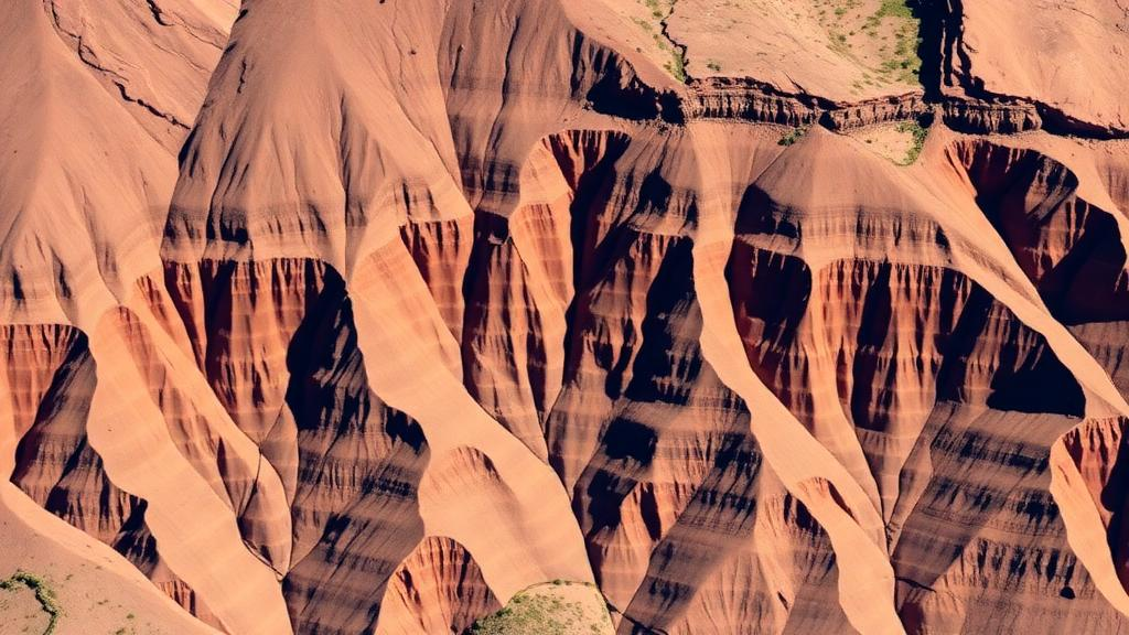
Deep in the western escarpment of the Afar rift in Ethiopia, where the African continent is being torn apart in real time, a team of geologists and geophysicists has reported a new sulfide discovery and built a predictive map so accurate that it captured every single known mineralized control point in the study area within just the top fifth of the terrain it flagged as prospective. The research, published in Natural Resources Research, focuses on a site called Milieleguhama, where pyrite, chalcopyrite, and pyrrhotite assemblages are hosted in Tertiary rhyolitic and dacitic volcanic rocks. The finding matters because the axial segments of the East African rift have long attracted exploration attention, while the bounding escarpments that frame the rift have remained a geological blind spot, tectonically dynamic yet almost entirely unexplored for hydrothermal sulfide mineralization.
The mineralization itself carries a classic epithermal-style fingerprint. The ore assemblage is associated with telescoped alteration, meaning that alteration zones typical of different depths and temperatures in a hydrothermal system are stacked directly on top of one another. At Milieleguhama, the team documented vuggy silica, a porous, sponge-like rock left behind when hot acidic fluids leach out minerals; adularia, a potassium feldspar that precipitates from boiling hydrothermal fluids; and ferruginous oxides staining the altered rock. Together these features point to an ancient hot-spring-like system in which metal-bearing fluids surged through volcanic rocks along faults, depositing sulfides as temperature, pressure, and chemistry changed. Epithermal systems of this kind are among the world’s most important sources of gold and silver, which is why the Afar margin is drawing new scrutiny.
What makes the study technically notable is the way it stitched together independent geophysical methods to peer beneath the surface without drilling. The researchers conducted vertical electrical sounding surveys and inverted the data using pyGIMLi, an open-source Python library for geophysical inversion that solves for subsurface resistivity distributions. The inverted resistivity models revealed continuous low-resistivity zones with values below 20 ohm-meters. Because sulfide minerals are dramatically more electrically conductive than the silicate rocks that host them, such conductive zones are a prime geophysical signature of buried sulfide accumulations, a relationship that has been exploited in exploration geophysics for decades.
The magnetic data told a complementary story. High-resolution magnetic analysis showed elevated magnetic residuals exceeding 100 nanotesla, coincident with the conductive zones, along with convergent maxima in analytical signal, vertical derivative, and tilt derivative transformations of the magnetic field. These processing techniques sharpen and locate the edges of magnetized bodies, and their convergence over the same corridor as the resistivity lows gave the team strong confidence that they were imaging a real, continuous mineralized structure rather than noise. The corridor extends to roughly 250 meters depth and is aligned with NW–SE- and NE–SW-trending rift-margin faults, which the authors identify as the primary hydrothermal conduits that channeled ore fluids from depth into the volcanic pile.
This structural control is the conceptual heart of the paper. Rift margins are dissected by deep-penetrating faults generated as the crust stretches and thins, and those faults act as plumbing systems for hydrothermal fluids. By mapping fault orientations from field observations and geophysical lineaments, and by showing that the geophysical anomalies track those orientations, the study demonstrates that the western Afar escarpment hosts a structurally controlled mineralized corridor rather than isolated, random occurrences. That distinction transforms exploration strategy: instead of chasing surface showings one by one, explorers can target the fault intersections and damage zones where fluids were most likely to focus and deposit their metal cargo.
To turn these insights into a predictive tool, the team built a weighted-overlay mineral prospectivity map, a technique in which each evidence layer, such as fault proximity, host lithology, resistivity lows, and magnetic anomalies, is scored and assigned a weight, then mathematically combined into a single map of prospectivity. The critical innovation is validation. Rather than simply presenting a colorful map, the authors tested it with prediction–area analysis and weight sensitivity testing. The result was striking: the model captured 100 percent of known mineralized control points within the upper 20.2 percent of the mapped terrain, yielding an efficiency ratio of 4.95. In practical terms, an explorer following this map would need to investigate only about a fifth of the landscape to encounter all the known mineralization, a fivefold improvement over random searching.
Perhaps the most provocative scientific claim concerns the role of felsic rocks. The study documents a lithological dichotomy across the region: mineralization in the central area is hosted in evolved, silica-rich rhyolitic and dacitic volcanic sequences, while the northern and southern parts of the margin are dominated by swarms of mafic dykes. The authors argue that the evolved intrusions acted as thermal and chemical traps for hydrothermal fluids, and they explicitly state that this challenges the paradigm that rift-related mineral systems are exclusively mafic-driven. In conventional thinking, rift volcanism is dominated by basaltic magmas, and ore systems in rifts are often assumed to derive their metals and heat from mafic sources. The Afar margin evidence suggests that felsic magmatism along rift shoulders can play a decisive role in concentrating sulfides, opening a new exploration concept for analogous settings worldwide.
The regional context strengthens the case. Epithermal gold occurrences have previously been documented in the Lakes District of the Main Ethiopian Rift and in the Tendaho area of the Afar rift, and across the border in Djibouti, researchers have described epithermal gold and Au-Ag-Bi-Te mineralization in the southeastern Afar rift, complete with fluid inclusion and stable isotope evidence of magmatic fluid involvement. The new Milieleguhama discovery extends this emerging metallogenic province onto the western rift margin and shows that the same hydrothermal processes operated along the escarpments, not just within the axial depression. For Ethiopia, a country whose mining sector is still in its early stages relative to its geological endowment, the work provides a scientifically grounded framework for targeting concealed deposits in terrain where mineralization may be entirely hidden beneath volcanic cover.
Methodologically, the paper offers a reproducible template that other exploration teams can adopt. The workflow combines field geological mapping, constrained geophysical inversion, multi-technique magnetic data enhancement, and statistically validated prospectivity modeling into a single chain from raw data to ranked targets. The authors emphasize that this integrated, validation-driven approach is designed for de-risking concealed epithermal-style targets in geologically and structurally complex, low-inclination rift settings, where magnetic interpretation is notoriously difficult because the Earth’s magnetic field dips at shallow angles and distorts anomaly shapes. By relying on convergent evidence from multiple independent methods and by quantifying predictive performance before declaring success, the workflow guards against the overfitting and false optimism that have historically plagued mineral prospectivity mapping.
The broader significance extends beyond one escarpment in northeastern Ethiopia. Continental rifts on every continent host hydrothermal systems, and many of the world’s future copper, gold, and silver resources will need to be found beneath cover in exactly the kind of structurally complex terrain the Afar margin exemplifies. As the demand for copper and other metals accelerates with the energy transition, exploration is increasingly forced into frontier regions where traditional prospecting fails. The Afar study shows that with careful integration of geophysics, geology, and rigorous validation, even a tectonically young, poorly explored rift shoulder can be transformed from a blank on the mineral map into a quantitatively ranked set of drill-ready targets, and that the faults bounding a tearing continent may hold more metal than anyone suspected.
Subject of Research: Geophysical and geological mapping of epithermal sulfide mineralization along the western Afar rift margin in Ethiopia
Article Title: Validation-Driven Weighted-Overlay Mineral Prospectivity Mapping of Western Afar Rift-Margin Epithermal Sulfide Systems: Integrated Geophysical–Geological Constraints
Article References: Getenet, A., Luo, M., Song, X., Zemelak, A., Ayalew, D., & Haileslassie, T. (2026). Validation-Driven Weighted-Overlay Mineral Prospectivity Mapping of Western Afar Rift-Margin Epithermal Sulfide Systems: Integrated Geophysical–Geological Constraints. Natural Resources Research. https://doi.org/10.1007/s11053-026-10784-y
Image Credits: AI Generated
DOI: 10.1007/s11053-026-10784-y
Keywords: mineral prospectivity mapping, epithermal sulfide, Afar rift margin, Ethiopia, resistivity inversion, magnetic anomalies, structural control, hydrothermal alteration, weighted overlay, exploration geophysics, rhyolitic volcanics, ore deposits
Cite Scienmag News
Violet Maxwell. (October 7, 2026). Hidden Copper Clues in Ethiopia’s Rift Escarpment: New Map Nails Every Known Ore Site. Scienmag. https://scienmag.com/hidden-copper-clues-in-ethiopias-rift-escarpment-new-map-nails-every-known-ore-site/
Violet Maxwell. "Hidden Copper Clues in Ethiopia’s Rift Escarpment: New Map Nails Every Known Ore Site." Scienmag, 7 October 2026, https://scienmag.com/hidden-copper-clues-in-ethiopias-rift-escarpment-new-map-nails-every-known-ore-site/. Accessed 7 October 2026.
Violet Maxwell. "Hidden Copper Clues in Ethiopia’s Rift Escarpment: New Map Nails Every Known Ore Site." Scienmag. October 7, 2026. https://scienmag.com/hidden-copper-clues-in-ethiopias-rift-escarpment-new-map-nails-every-known-ore-site/


