In recent years, the urgency to understand and combat climate change has intensified, particularly regarding the increasing frequency and severity of natural disasters. One of the pressing issues facing many coastal communities around the world is the compound flood risk. As climate change continues to exacerbate environmental conditions, researchers are turning their attention to the nexus of sea-level rise and extreme weather events, which can create catastrophic flooding scenarios. In a groundbreaking study published in the journal Commun Earth Environ, researchers Zhang and Convertino delve into global mapping of potential coastal compound flood risk, introducing a meticulous methodology that reveals alarming insights about the vulnerabilities of coastal areas.
The primary aim of this research is to provide a comprehensive assessment of the risks posed by compound floods, which occur when two or more sources of flooding converge—such as storm surges and heavy rainfall. Unlike traditional flooding models that focus on singular threats, this innovative approach combines multiple variables to project amplified risk levels. The authors employ advanced data analytics techniques to ensure that the findings are not only robust but also highly relevant to policymakers and communities on the front lines of climate change.
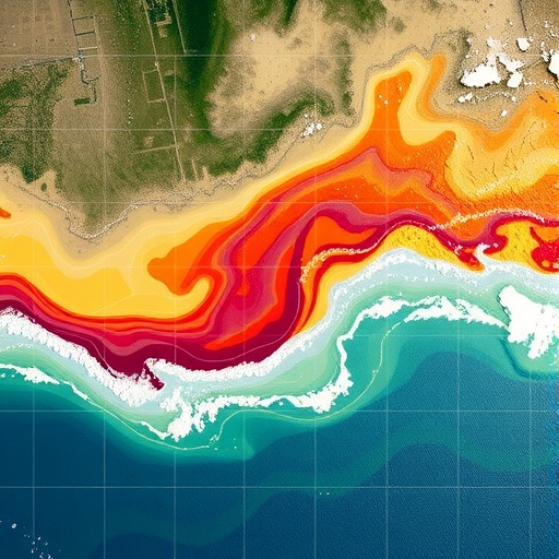
Utilizing high-resolution geospatial data, specifically at 0.1-degree resolution, the study synthesizes information related to climate models, socio-economic factors, and geographical features. By marrying these different data sets, Zhang and Convertino created risk maps that encapsulate varying scenarios, helping to visualize potential flooding events within specific geographical contexts. The fine-grained nature of this analysis presents a stark contrast to previous studies that often provided broad estimates at larger scales, which can overlook critical localized vulnerabilities.
One of the study’s most significant contributions is its incorporation of real-time data regarding rising sea levels, which, as per the authors, is pivotal in accurately assessing compound flood risk. Sea levels have been rising due to the melting of polar ice caps and thermal expansion induced by global warming—a phenomenon that is well-documented in climate science. The researchers effectively illustrate how even minor changes in sea level can exponentially increase the risk of flooding when combined with storm surges, particularly in low-lying coastal regions.
Moreover, the research underscores the role of urbanization in amplifying flood risk. Coastal cities, known for their dense populations and critical infrastructure, are often ill-prepared for the compounded effects of climate change. Through their mapping, Zhang and Convertino demonstrate how urban development has increasingly encroached upon vulnerable shorelines without adequate flood defenses, creating a recipe for disaster as global temperatures rise.
A critical aspect of the study revolves around the practical applications of these findings. By providing detailed geographic risk assessments, local governments can make informed decisions regarding urban planning, infrastructure investments, and emergency preparedness strategies. Resilience planning becomes essential in light of these findings, which push for the integration of climate risk into local governance frameworks. The authors advocate for proactive measures to buffer against flooding, including the restoration of natural barriers such as wetlands and mangroves, which serve as effective buffers against storm surges.
However, while the research illuminates the challenges posed by compound floods, it also emphasizes the importance of equitable solutions. Vulnerable communities—often those with limited resources—face the brunt of climate impacts. The authors stress that any adaptive strategies or interventions must be inclusive, considering the needs of all community members to ensure fairness and resilience in a changing environment.
Another compelling element of the study is its visualization tools. The researchers employed cutting-edge data visualization techniques to make their findings accessible to non-specialists. By converting complex data into intuitive visual formats, they hope to enhance public understanding of flood risks. Such tools empower communities by fostering awareness and encouraging civic engagement in climate adaptation efforts.
The ramifications of this research extend beyond mere academic interest. As coastal populations continue to grow in the face of climate change, the implications of compound flooding become critical to food security, infrastructure stability, and overall public health. Failure to address these risks not only endangers coastal livelihoods but can also trigger wider socio-economic consequences, making this research of utmost importance to international audiences concerned about global stability.
Furthermore, it raises an essential point of discourse regarding global climate policy. The findings could serve as a catalyst for more rigorous international cooperation in addressing climate-related flooding risks. Countries must work together to establish standardized risk assessments and data-sharing agreements to effectively respond to the uneven threats posed by climate change across various regions.
Zhang and Convertino’s work ultimately challenges policymakers, urban planners, and community activists to rethink how coastal flood risks are perceived and managed. It spurs a call to action to implement forward-thinking solutions that can withstand the compounded threats posed by our changing climate. As we stand on the precipice of catastrophic climate events, the need for detailed, predictive models becomes increasingly evident—one that not only strives to identify risks but also seeks to promote resilience against them.
In conclusion, the sophisticated analysis presented in this study boldly outlines the pressing realities of coastal compound flood risks as climate change accelerates. The authors have provided vital insights that will empower communities and governments to take meaningful action, ultimately aiming to protect vulnerable populations from the devastating impacts of climate-driven flooding.
The road ahead is fraught with challenges, but armed with this knowledge, society stands a better chance of navigating the uncertain tides of climate adversity.
Subject of Research: Coastal Compound Flood Risk and its Global Mapping
Article Title: Global mapping of potential coastal compound flood risk at 0.1° resolution by Zhang, J., Convertino, M.
Article References:
Zhang, J., Convertino, M. Global mapping of potential coastal compound flood risk at 0.1∘ resolution.
Commun Earth Environ (2026). https://doi.org/10.1038/s43247-025-03155-7
Image Credits: AI Generated
DOI: 10.1038/s43247-025-03155-7
Keywords: Coastal flooding, climate change, risk mapping, natural disasters, sea level rise, urbanization, resilience planning, socio-economic impacts.
