


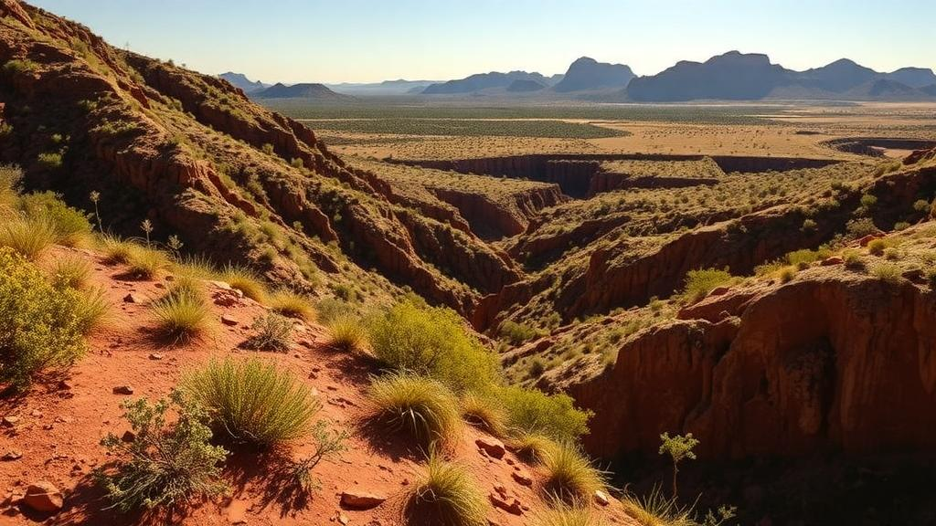
In one of the driest corners of South Africa, a few hundred metres of altitude turn out to make all the difference between a sparse, sun-baked plain and a surprisingly lush shrubland. A new survey of Tankwa Karoo National Park, published in Vegetation Classification and Survey, has mapped how vegetation structure and composition shift along the park’s elevational gradient, from the low-lying Tanqua plains at around 338 metres to the steep slopes of the Roggeveld escarpment at nearly 1,150 metres. The findings give conservation managers their first detailed, elevation-aware baseline for a landscape still bearing the scars of historic overgrazing.
The Tankwa Karoo sits within the Succulent Karoo Biome, a semi-desert region stretching along the western parts of South Africa and Namibia that covers roughly 111,000 square kilometres. Despite its aridity, this biome holds the highest plant diversity recorded for any arid region in the world, is recognised as one of only two biodiversity hotspots in arid and semi-arid zones, and harbours about 30 percent of the planet’s succulent species. Yet large parts of the Tanqua Karoo are degraded, a legacy of decades of livestock grazing that replaced palatable perennial grasses and non-succulent shrubs with shorter-lived, less palatable dwarf shrubs and annuals, leaving denuded ground and eroded topsoil in its wake.
To untangle how elevation shapes this landscape, the research team surveyed 43 sites spread across the park’s three dominant vegetation types: Tanqua Karoo on the open lowland plains, Tanqua Wash Riviere on the floodplains at the foot of the escarpment, and Tanqua Escarpment Shrubland on the slopes of the Roggeveld Mountains. Together these three types account for 94 percent of the park, which has grown from 27,064 hectares at its declaration in 1986 to 163,125 hectares in 2022. Surveys were conducted in the spring of 2015, when most species commence growth, using the point intercept method: at each site, four 100-metre line transects were laid out, and a hand-held rod was lowered at one-metre intervals, recording every strike against living plants, rock, litter or bare ground, for a total of 400 observations per site.
The results reveal a flora both rich and highly structured. Across all sites, the team recorded 150 vascular plant species belonging to 83 genera and 29 families, with about 86 percent of species being dicotyledons and 14 percent monocotyledons. The escarpment shrubland proved the most diverse of the three types, with 96 species from 61 genera and 26 families, compared with 67 species on the plains and 63 on the floodplains. The most common families throughout were Aizoaceae, Iridaceae and Asteraceae, a signature of aridity, since these groups generally dominate arid habitats.
Vegetation cover told an equally striking story. Mean perennial cover across the whole study area was just 28 percent, but it varied dramatically between vegetation types: a mere 9 percent on the open plains, 29 percent on the floodplains, and a substantial 50 percent on the escarpment. Annual plants showed the reverse pattern, covering 33 percent of the plains but only 12 percent on the escarpment, where long-lived perennial shrubs dominated. Denuded ground followed the same gradient, occupying 54 percent of the plains sites but just 18 percent on the escarpment. Mean shrub height climbed from 0.16 metres on the plains to 0.43 metres on the escarpment, where small trees such as Searsia undulata and Montinia caryophyllacea also appeared, while large trees like Vachellia karroo were confined to rivers and drainage lines.
Life form analysis added another layer of insight. Following the classification system of Raunkiær, the researchers found that chamaephytes, dwarf shrubs with buds near the soil surface, made up 64 percent of all species, with cryptophytes at 18 percent, therophytes at 16 percent and nanophanerophytes at just 2 percent. Chamaephytes dominated the escarpment, while the plains were co-dominated by therophytes and cryptophytes, annuals and geophytes whose abundance pulses with rainfall events. This turnover means the escarpment is ecologically less dynamic, its longer-lived shrubs providing stable cover, whereas the plains respond dramatically to each rainfall season, their short-lived flora strongly coupled to precipitation timing.
Statistical analysis confirmed that elevation is the master variable. A principal component analysis showed the first two axes explained 58 percent of total variation among the examined variables, with the first axis positively related to slope, elevation, rock cover, perennial cover and shrub height, and negatively related to denuded areas and therophytes. Cluster analysis demonstrated a clear association among the escarpment sites, though some floodplain and plains sites overlapped in species composition and environmental conditions, suggesting these lowland types grade into one another. Rock cover, which exceeded 60 percent at some escarpment sites due to water erosion on steeper slopes, emerged as an important secondary factor alongside elevation.
The study’s authors link these patterns to the interplay of climate and land-use history. The escarpment enjoys higher precipitation, lower temperatures and reduced evapotranspiration, and historically experienced lower grazing densities, allowing denser, taller vegetation to persist. The plains, by contrast, are more arid and were preferred grazing habitat for decades, promoting annual species and leaving extensive denuded areas with little surface litter, which in turn increases evaporation from the soil, reduces organic matter and nutrient recycling, and heightens erosion risk from wind and water. Notably, the team also recorded Atriplex lindleyi, a naturalised dwarf shrub from Australia, on the plains, and observed that Fabaceae species, highly palatable and nutritious forage plants, were nearly absent from the heavily grazed lowlands.
Beyond documenting present-day patterns, the research carries practical weight for restoration and climate adaptation. By pinpointing which elevational zones support the lowest cover and diversity, the baseline can help managers identify and prioritise degraded areas for active restoration, limiting further erosion and degradation. The authors note that some state-led restoration interventions in the park have already been hugely successful, and the new data can inform where such efforts should be directed next. As climate change alters rainfall regimes and temperature profiles across arid landscapes, elevational studies like this one may offer a preview of how species distributions could shift, making the Tankwa Karoo’s gradient from plain to escarpment not just a snapshot of today’s vegetation, but a window into its possible futures.
Subject of Research: Vegetation ecology
Article Title: Vegetation structure and composition at different elevational intervals in the arid Tankwa Karoo National Park, South Africa
Article References: Samuels, M. I., Saaed, M., Jacobs, S., Masubelele, M. L., Van der Merwe, H., & Khomo, L. (2023). Vegetation structure and composition at different elevational intervals in the arid Tankwa Karoo National Park, South Africa. Vegetation Classification and Survey, 4, 115-126. https://doi.org/10.3897/vcs.86310
Image Credits: AI Generated
DOI: 10.3897/VCS.86310
Keywords: Tankwa Karoo, Succulent Karoo, elevation gradient, vegetation cover, species diversity, life forms, overgrazing, restoration, South Africa, arid ecosystems, Vegetation, structure
Cite Scienmag News
Margaret Porter. (October 19, 2026). Elevation Drives a Hidden Vegetation Divide in South Africa’s Tankwa Karoo. Scienmag. https://scienmag.com/elevation-drives-a-hidden-vegetation-divide-in-south-africas-tankwa-karoo/
Margaret Porter. "Elevation Drives a Hidden Vegetation Divide in South Africa’s Tankwa Karoo." Scienmag, 19 October 2026, https://scienmag.com/elevation-drives-a-hidden-vegetation-divide-in-south-africas-tankwa-karoo/. Accessed 19 October 2026.
Margaret Porter. "Elevation Drives a Hidden Vegetation Divide in South Africa’s Tankwa Karoo." Scienmag. October 19, 2026. https://scienmag.com/elevation-drives-a-hidden-vegetation-divide-in-south-africas-tankwa-karoo/


