The integration of unmanned aerial vehicles (UAVs) into environmental science has taken a monumental step forward, particularly in the realm of vegetation mapping within photovoltaic power plants. A recent study highlights the transformative potential of these technologies, presenting clear advantages in accuracy, speed, and detail when it comes to assessing vegetation in areas devoted to solar energy production. As the world continues to rely on renewable energy sources, optimizing land use surrounding photovoltaic infrastructures is of utmost importance.
In this groundbreaking research, Zou, Ding, and Zhou et al. unveil methods that leverage high-resolution UAV imagery to enhance the precision of vegetation mapping. This advancement in technology allows scientists and engineers to approach environmental assessments from an entirely new perspective. The meticulous data collected by drones surpasses traditional survey methods, offering a rich tapestry of information that caters to nuanced environmental monitoring needs.
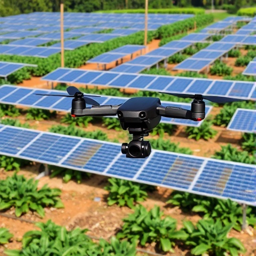
One of the key aspects of this study revolves around the ability of UAVs to capture detailed images and data from angles and heights unattainable by ground surveys or even manned aerial surveys. High-resolution images enable researchers to identify species distribution, assess plant health, and monitor changes over time. This information is crucial, particularly in the context of supporting sustainable practices around solar farms—where both energy production and vegetation health must be harmoniously balanced.
Moreover, the findings demonstrate that UAV technology allows for the systematic mapping of vegetation with a minimal footprint. This aligns perfectly with the sustainability ethos of solar energy. By utilizing UAVs, researchers are not only presenting an innovative approach to vegetation monitoring but are also promoting a method that inherently minimizes human interference, thereby preserving the ecological integrity of the solar farm sites.
In the study, the researchers meticulously compared the drone-derived maps with those produced by conventional methods, including ground surveys and satellite imagery. The results showcased a notable increase in accuracy and detail. Vegetation boundaries were more clearly defined, and subtle variations in species types were successfully captured, showcasing the superiority of UAVs in vegetation mapping endeavors.
The implications of their findings extend beyond mere academic interest—this work underscores the necessity of integrating advanced technology into natural resource management. As solar farms proliferate globally, ensuring that surrounding plant life flourishes is essential for both biodiversity and the effectiveness of energy capture. This study serves as a blueprint for future projects aimed at harmonizing renewable energy development with environmental stewardship.
Furthermore, the researchers emphasize the role of UAV imagery in adaptive management strategies. By providing real-time data, UAVs can assist managers in making informed decisions about vegetation maintenance, pest control, and habitat restoration. The intervention strategies formulated based on UAV-derived data can lead to significant cost savings and effective resource allocation.
The findings of this research come at a time when the global push for renewable energy solutions has never been more critical. As countries work towards achieving their carbon neutrality goals, optimizing the use of land associated with solar energy production is paramount. The potential for UAV technology to generate reliable data efficiently presents a compelling case for its adoption in future environmental studies and resource management plans.
The innovative methodologies showcased in this work also pave the way for further exploration into how UAVs can assist in climate change research. Understanding how various plant species respond to environmental stressors such as temperature fluctuations and drought conditions is essential for effective conservation and management practices. UAVs provide the scalability necessary to conduct large-area ecological assessments, enabling researchers to monitor and respond to climate impacts in real-time.
As the research community continues to explore the potential applications of UAVs, it is essential to consider the ethical implications. Conducting aerial surveys necessitates a commitment to adhering to guidelines that advance conservation objectives while minimizing disturbances to wildlife. The balance between technological advancement and ecological integrity is a recurring theme as researchers deploy UAVs in sensitive environments.
In conclusion, the study by Zou and colleagues significantly showcases the potential for unmanned aerial vehicles to revolutionize vegetation mapping practices, particularly in the context of solar energy developments. The ability to capture high-resolution data responsibly can foster better practices in renewable energy landscapes, merging clean energy practices with ecological conservation. As we move closer to a future dominated by renewable energy sources, leveraging technology like UAVs will be critical in securing both energy and ecological sustainability.
In summary, this pioneering research not only delivers actionable insights into the practical applications of UAV technology but places the spotlight on its critical role in shaping the future of renewable energy landscapes. The growing body of evidence supporting UAV applications signifies a new era in vegetation mapping and resource management, heralding a paradigm shift that prioritizes sustainable practices in energy production.
With innovation at the forefront of scientific inquiry, the lessons drawn from this research are clear: when technology meets ecology, the results can be both groundbreaking and essential for future generations.
Subject of Research: Vegetation mapping using UAV technology in photovoltaic power plants
Article Title: Leveraging unmanned aerial vehicle images improves vegetation mapping in photovoltaic power plants
Article References:
Zou, Z., Ding, Q., Zhou, X. et al. Leveraging unmanned aerial vehicle images improves vegetation mapping in photovoltaic power plants.
Commun Earth Environ 6, 706 (2025). https://doi.org/10.1038/s43247-025-02710-6
Image Credits: AI Generated
DOI: 10.1038/s43247-025-02710-6
Keywords: UAV technology, vegetation mapping, photovoltaic power plants, renewable energy, ecological conservation.
