


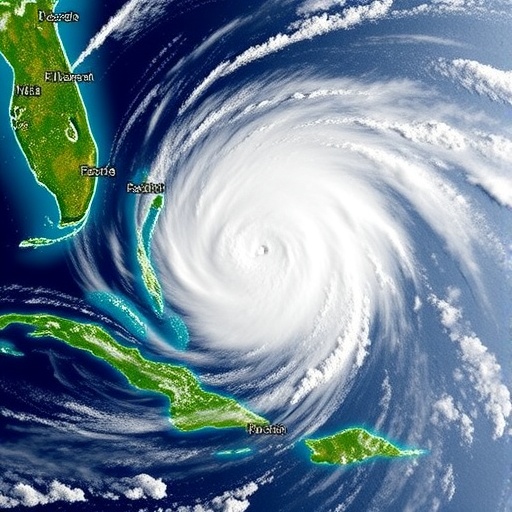
Tropical cyclones do not usually strengthen in a smooth, symmetrical rhythm. Instead, their most dangerous surges can begin with a fleeting pattern of thunderstorms that spreads across the storm like the wings of a butterfly. A new study by Minamide and Posselt, published in Communications Earth & Environment, argues that these “convective butterflies” may provide a crucial early signature of tropical cyclone rapid intensification—the notorious phase in which a storm’s maximum sustained winds accelerate far faster than forecasters expect. The discovery offers a visually striking way to understand one of the most consequential and difficult-to-predict transformations in atmospheric science: the sudden evolution of a powerful cyclone into a much more destructive storm.
Rapid intensification is commonly defined as an increase in a tropical cyclone’s maximum sustained wind speed of at least about 30 knots, or 56 kilometers per hour, within 24 hours. Such episodes can leave coastal communities, emergency managers and aviation authorities with very little time to respond. A storm that appears manageable one day can become a major hurricane or typhoon the next, sometimes while approaching land. Forecast models have improved substantially, but rapid intensification remains a major source of uncertainty because it depends on interactions between processes occurring across enormous scales—from ocean heat content and atmospheric moisture to tiny, short-lived clusters of deep convection surrounding the storm’s eye.
The study focuses on that convection: towering clouds produced when warm, humid air rises violently through the cyclone’s core. These thunderstorms release latent heat as water vapor condenses into cloud droplets and ice. The released energy warms the middle and upper troposphere, lowering the storm’s central pressure and helping to strengthen the pressure gradient that drives intense winds. At the same time, convective downdrafts and turbulent mixing redistribute momentum, moisture and heat. Rather than acting as random bursts, the study suggests, these clouds can organize into a distinctive pattern around the center of circulation. When viewed from above, the arrangement resembles two curved wings extending from a central body—a convective butterfly.
That shape matters because tropical cyclones are rotating heat engines. They draw energy from warm ocean water, convert it through moist convection into atmospheric motion, and concentrate that motion around a low-pressure center. The most efficient strengthening occurs when convection is positioned in ways that reinforce the storm’s circulation instead of disrupting it. Thunderstorm clusters located asymmetrically around the eyewall can generate vorticity, the local spinning of the air, and transport high-angular-momentum air inward. As this air contracts toward the center, its rotation accelerates, much like an ice skater spinning faster after pulling in their arms. The butterfly pattern may therefore be a visible expression of the storm reorganizing itself for rapid spin-up.
The researchers’ central insight is that the geometry of convection can reveal the direction of the storm’s evolution before the wind field fully responds. A cyclone may begin with scattered or lopsided convective bursts. As those bursts develop on opposing sides of the circulation, they can create paired regions of enhanced upward motion and heating. Their combined effect may strengthen the secondary circulation—the overturning flow in which air rises near the eyewall, spreads outward aloft, sinks farther from the center and returns inward near the ocean surface. This circulation helps ventilate the storm’s upper levels and draws more warm, moist air into the inner core. If the process remains coherent, pressure falls and the eyewall contracts, producing a rapid increase in wind speed.
The “butterfly” description is more than a memorable visual metaphor. It points to the importance of azimuthal structure, or how atmospheric properties vary around the storm’s circular center. Traditional monitoring often emphasizes average quantities such as minimum central pressure, maximum wind speed or the overall amount of cloud cover. Those measurements are essential, but averaging can conceal the organization of convection. Two storms may contain a similar total volume of thunderstorms while having very different prospects for intensification. One may feature scattered convection that fails to reinforce the vortex; the other may display paired, strategically placed convective sectors that efficiently transfer energy and angular momentum into the circulation.
The result could be especially valuable for satellite-based forecasting. Tropical cyclones often form over remote oceans where aircraft observations, weather stations and radar coverage are sparse or unavailable. Geostationary satellites, however, continuously observe cloud-top temperatures and the evolution of deep convective towers. Infrared imagery can identify exceptionally cold cloud tops associated with powerful updrafts, while microwave instruments can peer more deeply into the storm and reveal precipitation structures beneath the upper cloud canopy. If butterfly-like convective organization can be detected reliably in these observations, forecasters may gain a practical indicator that a cyclone is entering a dangerous intensification phase.
The physical mechanism also highlights why ocean and atmosphere must be considered together. A cyclone’s thunderstorms depend on a sustained supply of heat and moisture from the sea, but intense winds can stir colder water upward and weaken that supply. Dry air, vertical wind shear and an unstable eyewall can likewise interrupt the pathway from convection to vortex intensification. The butterfly signal would not mean that rapid intensification is guaranteed. Instead, it may identify a favorable internal configuration that becomes decisive when environmental conditions—such as warm ocean water, abundant mid-level moisture and relatively weak wind shear—allow the storm to maintain its convective structure.
For communities in the path of tropical cyclones, the research could eventually translate into earlier warnings of a storm’s most dangerous transition. Rapid intensification is particularly hazardous because official forecasts may initially underestimate the final strength of the cyclone, while evacuation decisions, port closures and disaster preparations require time. A recognizable convective pattern could be incorporated into automated satellite algorithms and numerical weather prediction systems, helping identify storms whose internal dynamics are shifting toward rapid strengthening. The greatest benefit would come not from replacing existing forecasts, but from adding a physically meaningful signal that complements pressure, wind, ocean and model-based indicators.
The study also raises broader questions about how rotating storms organize themselves across scales. A tropical cyclone is often portrayed as a vast, nearly symmetric vortex, yet its intensification may depend on transient, asymmetric structures that last only a few hours. The convective butterfly suggests that short-lived thunderstorm arrangements can act as a bridge between individual clouds and the storm’s planet-scale circulation. Understanding that bridge could improve models of cyclone development and clarify why some storms intensify explosively while others weaken under seemingly similar conditions. As climate change warms the oceans and increases concern about the risks posed by extreme tropical cyclones, recognizing the atmospheric choreography that precedes rapid intensification may become an increasingly important part of protecting lives and infrastructure.
Cite Scienmag News
Violet Maxwell. (August 21, 2026). Convective “butterflies” drive rapid tropical cyclone intensification. Scienmag. https://scienmag.com/convective-butterflies-drive-rapid-tropical-cyclone-intensification/
Violet Maxwell. "Convective “butterflies” drive rapid tropical cyclone intensification." Scienmag, 21 August 2026, https://scienmag.com/convective-butterflies-drive-rapid-tropical-cyclone-intensification/. Accessed 3 September 2026.
Violet Maxwell. "Convective “butterflies” drive rapid tropical cyclone intensification." Scienmag. August 21, 2026. https://scienmag.com/convective-butterflies-drive-rapid-tropical-cyclone-intensification/


