


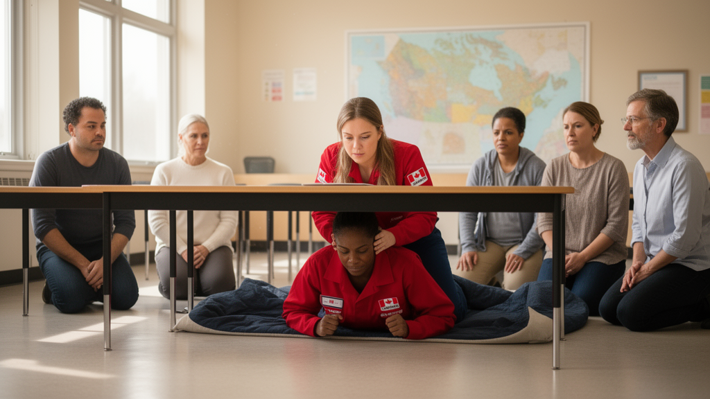
Canada has a new earthquake early warning system, activated in western British Columbia in 2024 and extended to eastern Ontario and southern Quebec in 2025, yet many Canadians still remain largely unaware of the risks earthquakes pose in their region. That gap between a functioning national alerting system and a public that may not know what to do with an alert is the central problem tackled by a new review published in Frontiers in Earth Science, which examines how earthquake education is delivered across the country and where it falls short.
The review, led by Katherine Boggs of Mount Royal University with colleagues from Natural Resources Canada, the University of Calgary, Simon Fraser University and other institutions, evaluates Canadian geoscience engagement activities in seismically active regions using a newly proposed seven-component geocommunication model. The model, whose central message is “Geosciences are Important for Humanity,” spans public engagement in discipline-specific settings, engagement with politicians and policymakers, engagement with critical infrastructure and industry, strategic planning, public education including kindergarten to grade 12 programs, post-secondary courses and engagement, and coordination with geoscience societies and geological surveys.
The stakes are considerable. Most Canadian earthquakes occur along the west coast of British Columbia, where the Queen Charlotte Fault has produced the largest instrumentally recorded earthquakes in Canadian history, a magnitude 8.1 in 1949 and a magnitude 7.8 in 2012. Off Vancouver Island, the northern Cascadia Subduction Zone has the potential to generate megathrust earthquakes of magnitude 9 or greater; numerical modelling strongly suggests its last rupture occurred at approximately 9 p.m. on 26 January 1700, triggering a tsunami that devastated villages along the west coast of North America and also struck Japan.
Eastern Canada carries its own distinctive hazard profile. The Western Quebec Seismic Zone along the Ottawa River Valley and the region along the St. Lawrence River valley experience considerable earthquake activity unrelated to plate boundary faults. Although seismic hazard is generally lower in the east, earthquakes there can be as impactful as larger western ones: the dense crust lets seismic waves travel further with less attenuation, the region’s infrastructure is older and more vulnerable, and much of the area is underlain by Champlain Sea Leda clay deposits susceptible to amplification and liquefaction. The exposed population along the eastern region exceeds that of the British Columbia coast, and as a result the seismic risk in Montreal is similar to that in Vancouver.
The early warning system itself works by detecting an earthquake’s primary wave, determining whether the event will produce shaking above a harmful threshold, and sending warnings through the National Public Alerting System to cell providers and broadcast media. The Canadian system employs the ShakeAlert software used by the United States Geological Survey, which can facilitate data sharing for earthquakes near the British Columbia–Washington border. For technical users, specialized alerts can trigger automated protective actions such as stopping trains, opening doors, closing valves and sounding alarms. The review cites a March 2022 incident in Japan in which a Tohoku Shinkansen train received an alert and made an emergency stop five seconds before strong shaking began; the tracks had been damaged, and no crew or passengers were injured.
Public response, however, is not guaranteed. In late February 2025, an earthquake north of Vancouver triggered an early warning alert disseminated to the area of anticipated strong shaking, and confusion about why some people received the alert on their smartphones while others did not led several news organizations and social media users to suggest initially that the system had failed. It had worked exactly as designed. People may not receive an alert if their device was not connected to an LTE network, if their phone’s operating system was outdated, or if there were service provider issues, and people without cell phones who were not listening to radio or watching television would not have received it at all. Some people outside the alerting region received the alert because their device was picking up a signal from an alerting cellular tower. The review’s authors describe this event as revealing a familiarity gap between reality and people’s expectations.
Among the education programs the review highlights is SchoolShake, a citizen science initiative developed by the Geological Survey of Canada’s Pacific Division and the University of Victoria, which features real-time data streams from Raspberry Shake seismographs in 20 middle and high schools on Vancouver Island and Haida Gwaii. In 2023 the program developed lesson plans and teacher resources for grades 8 and 11, freely available on its website, covering the Raspberry Shake instruments, the local plate tectonic setting, earthquake effects, safety and preparedness, and the region’s earthquake history as told through Haida Gwaii, Nuu-chah-nulth, Hoh, Quileute and Kwakwaka’wakw First Nation oral stories alongside scientific research. The program is expanding to the Yukon through a similar small-scale arrangement with Yukon University.
The review also documents engagement efforts beyond the classroom. In a 2025 visit to Haida Gwaii, Natural Resources Canada staff provided updates on geophysical research and early warning development in public presentations at Old Massett/Masset, Port Clements, Skidegate/Daajing Giids and Sandspit. Museums in British Columbia offer earthquake learning opportunities, including the Pacific Museum of Earth’s OmniGlobe interactive display and the 2018–2023 co-created exhibition “Shake Up,” which combined Indigenous knowledge and western science understandings of earthquakes. Natural Resources Canada is collaborating with curators at the Haida Gwaii Museum at KAY LLNAGAAY to develop an earthquake, tsunami and early warning display featuring Indigenous histories, intended as a pilot project with plans to develop an earthquake package for other museums in early warning coverage areas. Earthquake-related communication in British Columbia provincial parks, by contrast, is limited to a single sign on tectonics and earthquakes at Brandywine Provincial Park, although discussions are underway between Natural Resources Canada and BC Parks to add earthquake and tsunami messaging to signs in provincial parks on Haida Gwaii.
Survey data cited in the review underscore why sustained education matters. A public survey conducted by Natural Resources Canada found that most of the western early warning region is aware of and prepared for earthquakes, but Vancouver, a major population centre, is less aware and prepared than surrounding regions. The east is generally aware of earthquakes, particularly in Quebec City, but people there are generally unprepared. Older people tend to be more prepared and aware but are generally unlikely to Drop, Cover and Hold On, whereas younger people are more likely to do so, attributed to ShakeOut BC and GrandeSecousse advocating the practice in schools since 2012 and 2013 respectively, creating muscle memory that makes protective action more likely when an alert arrives. A separate content analysis of publicly accessible British Columbia websites found the deficit model of science communication accounted for 60 percent of earthquake communication activities, with dialogue and participatory models at 32.5 and 7.5 percent respectively, though the authors note that dialogue and participatory activities are likely less visible on web platforms and may be underestimated.
Looking forward, the review identifies several avenues for improvement. The Community Science Liaison program, based at Mount Royal University, works with scientists to develop place- and curriculum-based citizen science projects for K-12 classes across Canada and could collaborate with SchoolShake to enable school-aged children to conduct their own research projects using real-time seismic data. The International Geological Congress, to be hosted in Calgary in 2028 under the tagline “Geosciences for Humanity,” is intended to promote geosciences nationally, with evening plenary talks recorded for junior and high school classes, and a legacy goal of increasing geohazard signage in parks, particularly in vulnerable regions. The review concludes that while many existing earthquake education initiatives align closely with components of the geocommunication model, some approaches remain grounded in one-way deficit communication, and that greater understanding of earthquake risks and preparedness would be remedied by the design, development and widespread implementation of further dialogue- and participation-based education programs.
Subject of Research: Application of a new Canadian geocommunication model to public earthquake education and early warning awareness
Article Title: Informing the public about earthquakes in Canada: exploring the application of a new geocommunication model
Article References: Boggs, K., Bird, A., Beaudoin, A., Onstad, C., Pen, Y.-Y., Daniels, B., Eaton, D., Kao, H., Dolphin, G., Dubois Gafar, A., Bernard Bravo, M., Bley, H., Nykolaishen, L., Schaeffer, A., Canales, M., & Shipman, T. (2026). Informing the public about earthquakes in Canada: exploring the application of a new geocommunication model. Frontiers in Earth Science, 14, Article 1869255. https://doi.org/10.3389/feart.2026.1869255
Image Credits: AI Generated
DOI: 10.3389/feart.2026.1869255
Keywords: earthquakes, earthquake early warning, geoscience communication, Canada, public education, seismic hazard, SchoolShake, Cascadia Subduction Zone, museums, citizen science, preparedness, British Columbia
Cite Scienmag News
Violet Maxwell. (October 27, 2026). Canada maps how to teach a nation to brace for earthquakes. Scienmag. https://scienmag.com/canada-maps-how-to-teach-a-nation-to-brace-for-earthquakes/
Violet Maxwell. "Canada maps how to teach a nation to brace for earthquakes." Scienmag, 27 October 2026, https://scienmag.com/canada-maps-how-to-teach-a-nation-to-brace-for-earthquakes/. Accessed 27 October 2026.
Violet Maxwell. "Canada maps how to teach a nation to brace for earthquakes." Scienmag. October 27, 2026. https://scienmag.com/canada-maps-how-to-teach-a-nation-to-brace-for-earthquakes/


