


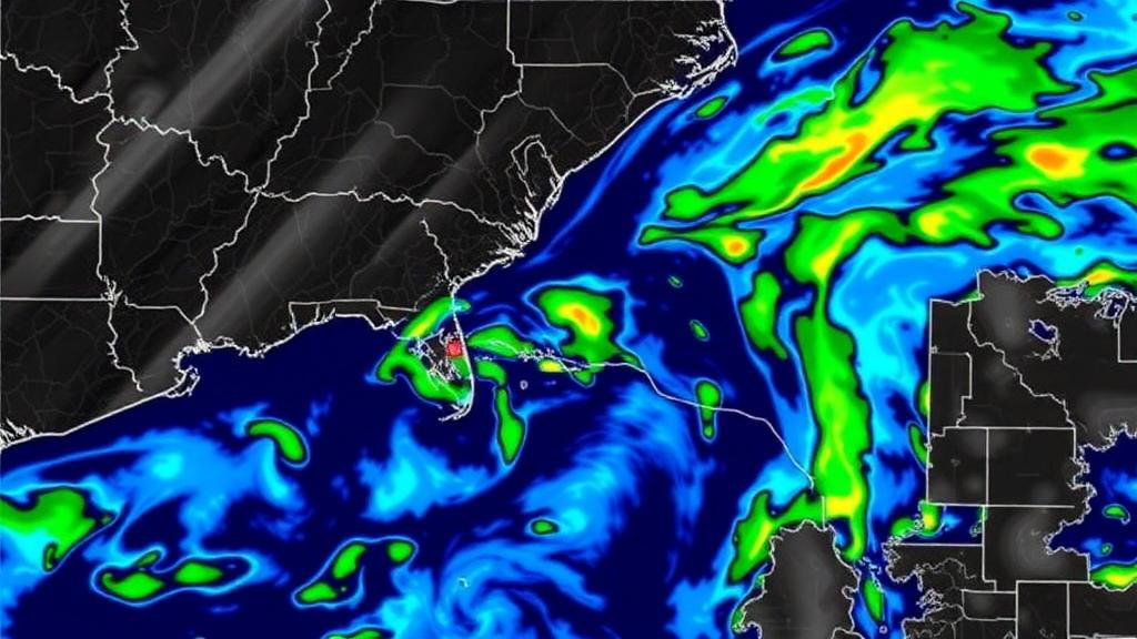
Weather radar screens tell a story that unfolds minute by minute: swirling bands of reflectivity that reveal where rain is falling right now, and, if you know how to read them, hints of where it will fall next. Turning those hints into reliable short-term forecasts—a task meteorologists call nowcasting—has long been one of the most stubborn problems in operational weather prediction. A new study published in Mobile Networks and Applications introduces SR2-GAN, a generative adversarial network designed specifically to predict multi-step sequences of radar images, and reports substantial accuracy gains over established baselines on datasets from Vietnam and Germany.
The research team, led by Ha Gia Son of the Vietnam Academy of Science and Technology, the Vietnam-Hungary Industrial University, and the Artificial Intelligence Research Center at VNU Information Technology Institute, together with Tran Manh Tuan of Thuyloi University and Le Hoang Son of VNU, focused on a challenge that matters most in regions where climate change is intensifying rainfall extremes. Northwest Vietnam, with its steep terrain and vulnerable mountain communities, served as one of the study’s testing grounds. In such settings, a forecast that is accurate in average pixel value but blurry in structure can still fail to warn residents about the localized downpour that actually triggers a flash flood.
At the heart of SR2-GAN is a generator built on a Convolutional Long Short-Term Memory network, or ConvLSTM, a recurrent architecture that treats radar frames as spatiotemporal tensors and learns how rainfall patterns evolve across both space and time. ConvLSTM networks have become a workhorse of radar echo extrapolation because they can, in principle, capture the motion, growth, and decay of precipitation cells. What the Vietnamese team added is a set of refined Convolutional Block Attention Modules, known as CBAM, which were originally introduced in computer vision research in 2018. These attention modules allow the network to weight which spatial regions and which feature channels matter most at each step of the prediction, helping the model concentrate on the dynamic features of rainfall rather than on static background clutter.
The second half of the adversarial pair is a discriminator that evaluates the generated radar frames at the patch level rather than judging each image as a whole. This approach, popularized by image-to-image translation frameworks such as pix2pix, asks whether small local windows of the forecast look realistic. In the context of precipitation nowcasting, patch-level discrimination pushes the generator to produce sharper edges around storm cells and more coherent internal structure, instead of the smeared, averaged-looking outputs that plague models trained purely on pixel-wise error minimization.
Perhaps the most consequential design decision in SR2-GAN is its composite multi-objective loss function. The training objective jointly combines three terms: the adversarial loss that rewards realism, the mean squared error (MSE) that penalizes pixel-level deviations from the true radar observations, and the structural similarity index measure (SSIM) that rewards preservation of morphological characteristics such as the shape, contrast, and texture of rain bands. Each term pulls the network in a slightly different direction. MSE alone tends to produce blurry forecasts because averaging over possible futures smears out uncertainty; adversarial loss alone can hallucinate plausible-looking but physically wrong structures. By balancing all three, the framework seeks forecasts that are simultaneously faithful in intensity and faithful in form.
The empirical results are striking. On radar data from the Pha Din station in Dien Bien, Vietnam, SR2-GAN reduced MSE by 44.4 percent compared with a CNN-GRU baseline, a hybrid of convolutional and gated recurrent layers that the same research community has previously applied to rainfall forecasting. On the DWD dataset from the German Weather Service, the reduction was 25 percent. Structural fidelity improved as well: SSIM rose by 12.8 percent on the Vietnamese data and 4.5 percent on the German data. The fact that the gains hold across two geographically and climatologically distinct datasets—one tropical and mountainous, one mid-latitude European—suggests the architecture is not simply overfitting to the quirks of a single radar site.
The comparisons did not stop at the CNN-GRU baseline. The authors report that SR2-GAN outperforms advanced generative competitors, including S2R-GAN, the team’s own earlier spatiotemporal GAN for radar image nowcasting presented at the ICTA 2025 conference, and Rad-cGAN, a conditional GAN for radar-based precipitation nowcasting developed for multiple dam domains and published in Geoscientific Model Development in 2022. The decisive advantages appear in maintaining spatiotemporal consistency across forecast steps and in delivering more stable long-range predictions—precisely the qualities that determine whether a nowcasting system can be trusted several steps into the future rather than just one or two frames ahead.
The significance of this work becomes clearer when placed against the broader arc of the field. Traditional numerical weather prediction models, such as prototypes of the Weather Research and Forecasting model and the physical parameterization schemes developed at ECMWF, excel at longer horizons but are computationally expensive and can struggle with the fine-grained, rapidly evolving convective systems that dominate short-term rainfall. Statistical approaches like SARIMA and support vector machines capture temporal patterns but largely ignore spatial structure. Deep learning has reshaped the landscape: PredRNN introduced spatiotemporal LSTM units for predictive learning, and in 2023 the NowcastNet system published in Nature demonstrated skillful nowcasting of extreme precipitation. SR2-GAN joins this lineage while tailoring the recipe to the practical constraints of radar-image sequence prediction, including in data-sparse developing regions.
For the researchers involved, the motivation is not abstract. The team has a history of building forecasting tools for the Pha Din radar station, including a 2024 model integrating CNN, gated recurrent units, and a genetic algorithm for rainfall forecasting from radar images. The progression from those hybrid statistical-machine-learning systems to a full generative adversarial framework reflects a deliberate bet that realism-aware training is the key to usable early warnings. In mountainous northern Vietnam, where the impacts of climate change are increasingly severe, an extra few minutes of accurate, spatially coherent warning can translate directly into evacuations completed before flash floods arrive.
The study also lowers barriers for other research groups. The German DWD dataset is publicly available through a Zenodo repository, the Pha Din radar data is published through a Mendeley Data repository, and the authors have released their code on GitHub. The research received no dedicated funding, and the authors declare no competing interests. As generative models continue their migration from image synthesis into the geosciences, SR2-GAN offers a concrete demonstration that attention-enhanced recurrent generators, disciplined by a carefully balanced composite loss, can turn raw radar reflectivity into sharper, more trustworthy glimpses of the very near future—and that such glimpses may soon be within reach of the communities that need them most.
Subject of Research: Deep learning-based generative adversarial networks for multi-step radar image precipitation nowcasting
Article Title: SR2-GAN: A Novel Generative Adversarial Network for Radar Image Sequence Nowcasting
Article References: Son, H. G., Tuan, T. M., & Son, L. H. (2026). SR2-GAN: A Novel Generative Adversarial Network for Radar Image Sequence Nowcasting. Mobile Networks and Applications. https://doi.org/10.1007/s11036-026-02532-6
Image Credits: AI Generated
DOI: 10.1007/s11036-026-02532-6
Keywords: SR2-GAN, generative adversarial network, radar nowcasting, precipitation forecasting, ConvLSTM, CBAM attention, SSIM, deep learning, spatiotemporal prediction, Vietnam, DWD dataset, early warning systems
Cite Scienmag News
Blake Davidson. (September 30, 2026). AI Model Sharpens Short-Term Rainfall Forecasts from Radar Images. Scienmag. https://scienmag.com/ai-model-sharpens-short-term-rainfall-forecasts-from-radar-images/
Blake Davidson. "AI Model Sharpens Short-Term Rainfall Forecasts from Radar Images." Scienmag, 30 September 2026, https://scienmag.com/ai-model-sharpens-short-term-rainfall-forecasts-from-radar-images/. Accessed 4 October 2026.
Blake Davidson. "AI Model Sharpens Short-Term Rainfall Forecasts from Radar Images." Scienmag. September 30, 2026. https://scienmag.com/ai-model-sharpens-short-term-rainfall-forecasts-from-radar-images/


