In an era where climate variability and water scarcity increasingly strain global water systems, the role of hydrological monitoring networks has never been more crucial. These networks, comprising strategically placed sensors that measure streamflow and other hydrological variables, form the backbone of effective water resources management. Yet, despite their undeniable importance, the deployment of such networks often suffers from disjointed planning and piecemeal expansion. This leads to suboptimal coverage and data gaps, hindering accurate hydrological predictions and compromising the operational responses to floods and droughts. A groundbreaking study now charts a new course, offering a data-driven framework that revolutionizes the design and scalability of hydrological sensor networks to meet the pressing challenges of water management in a changing world.
Traditionally, the placement of streamflow gauges has been guided by heuristic methods or legacy priorities, often favoring locations of historical interest or ease of access rather than system-wide representativeness. This fragmented approach neglects the complex spatial and temporal dynamics intrinsic to river basins, thereby limiting the network’s capability to capture meaningful hydrological variations across diverse landscapes. The new framework introduced by researchers Oh and Bartos leverages advanced mathematical techniques and retrospective hydrological simulations to systematically identify optimal sensor sites that collectively encode the underlying structure of streamflow variability at the basin scale.
Central to the methodology is the application of a rank-revealing QR decomposition, a linear algebra tool that isolates a subset of monitoring sites whose recorded data possess maximal informational content with respect to the entire network. By analyzing decades of reanalysis data spanning 44 years, the technique distills a minimal set of gauge locations from an extensive pool of candidate sites, ensuring that the selected network can reconstruct streamflow dynamics even at ungauged or poorly instrumented regions with considerably improved accuracy. This approach elegantly balances the trade-off between observational cost and predictive fidelity, making it both scientifically rigorous and practically viable.
The process commences with hydrological model simulations that generate synthetic streamflow time series across the landscape under study. These simulations encapsulate the response of streamflow to meteorological inputs, landscape characteristics, and anthropogenic influences, providing a comprehensive depiction of expected hydrological variability through time. Feeding these time series into the rank-revealing QR decomposition allows the framework to identify sites whose measurements are most informative because they capture different aspects of regional variability and seasonal dynamics, reducing redundancy.
What sets this framework apart is its adaptability to existing monitoring infrastructure. Unlike approaches that require wholesale redesign and de novo sensor installations, this data-driven tool can incrementally augment current gauge networks. It can prioritize critical new locations for installation or recommend reallocation of resources without degrading the overall predictive capacity. This feature is especially relevant for water authorities operating under budget constraints and facing the logistical challenges of retrofitting long-established networks.
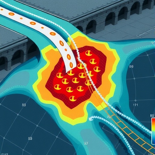
Moreover, the framework uniquely incorporates socio-environmental risk factors, such as flood hazard zones and vulnerable populations, into the sensor placement decisions. Water managers can thus integrate public safety considerations and operational priorities alongside hydrological prediction accuracy. This dual focus transforms monitoring network design from a purely scientific exercise into a multidisciplinary decision-support tool, better aligned with policy objectives and emergency management strategies in an increasingly risk-prone water governance landscape.
Evaluations across a spectrum of hydrological regimes—from snowmelt-dominated catchments to monsoonal river basins—demonstrate the framework’s robustness and scalability. By tailoring site selection to region- and time-specific flow patterns, the framework preserves its predictive gains regardless of hydrological complexity or climatic variability. These findings herald a major advance over conventional sensor deployment strategies, which often falter when extrapolating beyond localized conditions or adapting to evolving environmental regimes.
The framework’s capacity to reconstruct streamflow at ungauged locations offers critical benefits for water resource assessments and hydrological modeling. It addresses a pervasive challenge in hydrology whereby extrapolating data-informed insights from sparsely gauged regions hampers model calibration, validation, and forecasting. Enhanced reconstructions foster greater confidence in flow predictions essential for reservoir operations, ecosystem management, and infrastructure planning amidst the uncertainty of future climate scenarios.
Streamflow monitoring also underpins flood early warning systems, infrastructure resilience planning, and drought mitigation efforts. By optimizing sensor locations where flood risk is highest, the framework supports more responsive and targeted interventions to safeguard lives and property. This risk-informed placement ensures that monitoring investments directly translate into enhanced societal benefits, truncating the delay between data acquisition and actionable insight.
Importantly, this method’s reliance on data-driven decisions does not sacrifice interpretability or operational feasibility. Unlike some machine learning black-box approaches, the linear algebraic decomposition enables transparent site selection criteria readily communicable to stakeholders. This transparency facilitates collaborative decision-making among hydrologists, engineers, policymakers, and communities, fostering trust and alignment in water management processes.
The implications of this research extend far beyond the immediate field of hydrology. Similar principles could inform sensor network design in related earth system monitoring domains such as soil moisture observation, groundwater level measurement, or even atmospheric pollution detection. This cross-domain potential underscores the transformative nature of the rank-revealing matrix approach to optimizing environmental sensor arrays.
Looking ahead, the integration of this framework with real-time data assimilation and adaptive network reconfiguration technologies holds substantial promise. As operational conditions evolve due to climate change, land use alteration, or infrastructure development, dynamic updating of sensor placements could maintain optimal coverage and forecasting skill. This dynamic adaptability aligns with the broader transition toward smart water management systems driven by high-frequency data flows and artificial intelligence.
In summary, the work of Oh and Bartos establishes a novel, scalable, and risk-sensitive blueprint for hydrological sensor network design that directly addresses longstanding challenges in water resource monitoring. By combining retrospective simulations with advanced rank-revealing mathematical analysis, their approach transcends traditional heuristics to realize scientifically robust, operationally flexible, and socially informed monitoring strategies. With water security imperiled worldwide, such innovation is indispensable for equipping managers and policymakers with reliable, actionable information to navigate the uncertainties ahead.
This breakthrough sets a new standard for hydrological monitoring, demonstrating how rigorous quantitative methods can unlock the full potential of observational networks to enhance understanding and stewardship of Earth’s precious water resources. As sensor technologies proliferate and data availability expands, the fusion of mathematical rigor and environmental insight embodied in this framework offers a beacon guiding the next generation of sustainable water management solutions.
Subject of Research: Hydrological sensor network design for improved streamflow monitoring and prediction.
Article Title: Scalable, adaptive and risk-informed design of hydrological sensor networks.
Article References:
Oh, J., Bartos, M. Scalable, adaptive and risk-informed design of hydrological sensor networks. Nat Water (2025). https://doi.org/10.1038/s44221-025-00496-7
