In a groundbreaking initiative that bridges the worlds of advanced remote sensing and public engagement, Northern Arizona University’s Associate Professor Mark Salvatore has secured a prestigious grant from the National Science Foundation to launch a pioneering Antarctic citizen science project. This ambitious endeavor aims to harness the power of crowdsourcing to analyze decades of environmental change in one of Earth’s most extreme and enigmatic landscapes: the McMurdo Dry Valleys (MDV). By mobilizing volunteers worldwide through the Zooniverse platform, the project promises to generate an unparalleled dataset illuminating environmental dynamics in Antarctica over the last seventy years, providing critical insights into the subtle but meaningful shifts occurring within this cold desert environment.
The MDV region, located on the continent’s coast near McMurdo Station, is renowned for its ecological and geological stability—an attribute that paradoxically complicates traditional studies of environmental change. Unlike more dynamic ecosystems, the MDV undergoes changes at such incremental rates that discerning patterns requires meticulous analysis of long-term data sets. Salvatore notes that the landscape’s relative stability makes it a natural laboratory for understanding climatological and geomorphological processes on timescales extending from decades to centuries. The unique cold desert conditions create a delicate balance, where minimal alterations in temperature, precipitation, or ice distribution can have disproportionately large impacts on lake levels, stream flows, and snow accumulation.
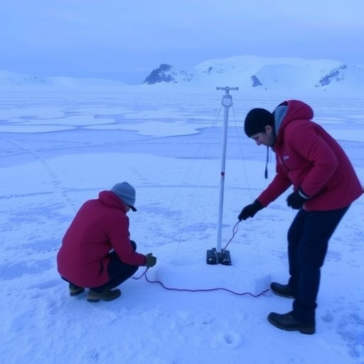
Crucially, the project capitalizes on an extensive archive of aerial photographic data collected by the U.S. military and the National Science Foundation since the 1950s. These terabytes of historical imagery, originally amassed for operational and scientific purposes, represent an invaluable time capsule documenting Antarctica’s frozen tapestry before satellite era advancements. By integrating these legacy aerial photographs with modern, high-resolution satellite imagery, which offers unprecedented spatial and spectral detail, researchers can undertake rigorous change detection analyses. This fusion of datasets facilitates a granular comparison of environmental features, tracking how the Antarctic landscape has evolved under the influence of natural variability and potential anthropogenic drivers.
Volunteers involved in the citizen science project will undergo brief but comprehensive training sessions designed to equip them with the skills necessary to accurately match and interpret satellite images against their historic aerial counterparts. This process involves recognizing and delineating key geomorphological features—such as lake shorelines, stream channels, and snow cover extents—which serve as proxies for underlying climatic and hydrological processes. The crowdsourced approach enables the efficient processing of a vast amount of imagery that would be logistically prohibitive for individual research teams, accelerating data acquisition while maintaining quality through consensus validation mechanisms embedded in the Zooniverse platform.
One of the core scientific goals of this initiative is to quantify long-term lake level fluctuations in the MDV, which are sensitive indicators of regional climatic shifts and meltwater availability. The region’s lakes, many of which are perennially ice-covered, respond to subtle changes in temperature regimes and precipitation patterns, making them effective sentinels for understanding cryospheric dynamics. By precisely tracking these hydrological changes, researchers hope to elucidate how Antarctic ecosystems—some of the most fragile on the planet—respond to ongoing climatic perturbations, contributing to predictive models that forecast future environmental states under various climate scenarios.
Beyond lake level studies, the project seeks to shed light on the evolution of stream networks within the MDV, which are heavily influenced by seasonal melt cycles and ice dynamics. Historical imagery offers a rare chance to map how these channels have expanded, contracted, or shifted over the latter half of the twentieth century and into the twenty-first. Understanding these modifications is vital for reconstructing hydrological balances, sediment transport mechanisms, and nutrient fluxes, all of which underpin the ecological function of the polar desert. The crowdsourced data will enable scientists to tie spatial variations in stream behavior to broader climatic trends, adding a crucial dimension to polar geomorphology research.
Snowfall and snow cover patterns are additional focal points of the study, as they affect surface albedo, energy balance, and habitat availability for endemic microbial and invertebrate species. By comparing aerial photographs from the 1980s with satellite images taken in recent years, volunteers will help quantify alterations in snow extent and persistence. This observational dataset is especially valuable given the challenges of consistent in-field measurements in Antarctica’s harsh environment, where logistical constraints often limit continuous monitoring.
The project also embodies a strategic push towards open data accessibility and public participation in scientific discovery, elevating citizen science from a supplementary tool to a central pillar of polar research methodologies. By fostering inclusive global engagement, the initiative not only democratizes access to scientific data but also catalyzes scientific literacy and awareness about the critical and often overlooked processes shaping Antarctica’s landscape. The platform encourages repeat volunteer participation, enabling iterative refinements of datasets and promoting sustained interest in polar science.
Technologically, the integration of legacy aerial photography with contemporary satellite data necessitates sophisticated image processing techniques, including georeferencing, orthorectification, and spectral normalization, to ensure consistent spatial alignment and radiometric fidelity across diverse data sources. These preprocessing steps are essential for enabling volunteers to make meaningful comparisons between images acquired under different sensor modalities and environmental conditions. The project’s data pipeline also employs quality control protocols to assess inter-observer reliability and flag ambiguous interpretations, thereby enhancing the robustness of the final datasets.
From a broader scientific perspective, this Antarctic citizen science initiative holds significant implications for remote sensing applications in other polar and remote regions. The scalable toolsets and workflows developed through this project can be adapted to monitor glacier dynamics, permafrost thaw, and landscape evolution in similarly challenging environments, where traditional ground-based observations remain sparse. Consequently, the project contributes to a growing toolkit for planetary-scale environmental monitoring in the face of accelerating global change.
Professor Salvatore emphasizes that the primary legacy of this endeavor will be a high-quality, comprehensive archive that enables not just retrospective analyses but also real-time monitoring capabilities as new satellite imagery becomes available. Such a dynamic repository advances the frontier of cryospheric and climatological science by providing a continuous record of landscape transformation, vital for informing policy decisions related to climate mitigation and adaptation.
As the project prepares to launch its public engagement phase, participants worldwide are urged to join this collaborative quest to uncover Antarctica’s hidden environmental history. Through their collective efforts, volunteers will play an indispensable role in expanding our understanding of Earth’s cold deserts, advancing science, and fostering an unprecedented connection between society and one of the planet’s most remote frontiers.
Subject of Research: Environmental change in the McMurdo Dry Valleys of Antarctica through historical aerial and modern satellite imagery analysis.
Article Title: Antarctic Citizen Science Initiative Mobilizes Volunteers to Decode Seven Decades of Environmental Change in the McMurdo Dry Valleys
News Publication Date: Not specified.
Web References:
https://www.nsf.gov/awardsearch/showAward?AWD_ID=2513445&HistoricalAwards=false
Image Credits: U.S. Geological Survey
Keywords: Environmental sciences, Climate change, Climate stability, Antarctic climate, Ice core records, Anthropogenic climate change, Climate change effects, Ice sheets
