In recent years, the confluence of remote sensing technology and environmental science has revolutionized the way researchers examine the multifaceted impacts of large infrastructural projects on natural and human systems. Among these projects, dams stand out due to their profound and complex influences on river hydrology, landscape morphology, ecosystems, and societies downstream and upstream. A comprehensive review published in Environmental Earth Sciences by researchers Cho and Qi (2025) offers a cutting-edge synthesis of how remote sensing methods have been harnessed to unravel the diverse consequences of dam construction across multiple dimensions. This pioneering work not only consolidates existing knowledge but also charts promising paths for the future use of satellite and aerial data in managing water resources and mitigating adverse effects.
At the heart of this intellectual endeavor lies the challenge of understanding how dams, by fundamentally altering water flow regimes, reshape hydrological patterns of entire river basins. Traditional ground-based measurements, while valuable, often fail to capture the spatial heterogeneity and temporal variability of these impacts on a broad scale. Remote sensing technology, with its capacity for persistent, large-scale observation, fills this critical gap by providing continuous data over decades and across transboundary river systems. Cho and Qi’s review meticulously details how multispectral, radar, and lidar sensors have been deployed to monitor changes in water surface area, reservoir volume fluctuations, and alterations in flow velocity and timing downstream of dams.
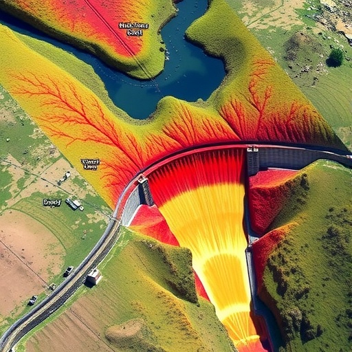
Beyond hydrology, dams trigger marked changes in geomorphology—from sediment trapping behind the dam wall to erosion patterns downstream. These sediment dynamics are fundamental to river health and the formation of floodplains, deltas, and coastal areas. The study underscores how optical and radar imagery have been key in quantifying sediment retention and geomorphic alterations over time. High-resolution satellite data enable scientists to detect shifts in river channel morphology, bank erosion rates, and sediment deposition with unprecedented accuracy. By integrating these observations with hydrological models, researchers can predict future landscape transformations and shape river management policies that seek to balance human use with ecological resilience.
One of the review’s most compelling sections addresses the impact of dams on aquatic and riparian ecosystems. The interruption of longitudinal connectivity in river networks translates into fragmentation of habitat, affecting biodiversity, fish migration routes, and water quality parameters. Remote sensing has emerged as a powerful tool for ecosystem monitoring, capable of assessing vegetation health, algal blooms, and wetlands extent. Cho and Qi highlight numerous case studies utilizing vegetation indices derived from multispectral data to evaluate the vitality of riparian zones subjected to altered flow regimes. Furthermore, the integration of thermal imaging helps reveal changes in water temperature profiles—a crucial factor influencing species survivability and reproductive cycles.
As dam projects are often associated with significant social and economic ramifications, the review also explores how remote sensing data inform assessments of societal impacts. Changes in water availability downstream influence agriculture, fisheries, and human settlements reliant on natural river processes. Satellite-derived land use and land cover maps facilitate the tracking of shifts in agriculture patterns and urban expansion adjacent to dam reservoirs. Importantly, the authors stress the unique capability of remote sensing to overcome access limitations, political boundaries, and logistical constraints in documenting human responses to hydrological alterations, including displacement, land degradation, and adaptive strategies.
Cho and Qi’s synthesis charts the impressive evolution of remote sensing techniques over the past two decades, from early broad-scale optical imagery to the current era of high-frequency, high-resolution, and multisensor observations. The increasing availability of free satellite data from platforms such as Sentinel, Landsat, and ICESat, combined with advances in data processing through machine learning and cloud computing, heralds a new paradigm in environmental monitoring. The review details how these technological strides have multiplied opportunities for cross-disciplinary research and for building integrated frameworks that couple hydrological, geomorphological, ecological, and social datasets.
One of the essential technical insights presented relates to the methodological challenges inherent in remote sensing-based assessments of dam impacts. Cloud cover, sensor resolution limits, and spectral ambiguities often complicate data interpretation, especially in regions with complex terrain or heterogeneous vegetation. Cho and Qi emphasize the importance of sensor fusion—combining optical, radar, and lidar data—to overcome individual sensor weaknesses. Moreover, they advocate for systematic validation of remotely sensed estimates against ground truth measurements to enhance accuracy and reliability.
The review also addresses the temporal dimensions of dam impacts, noting that physical and ecological responses often unfold over multiple temporal scales—from immediate hydrological shifts during dam filling to long-term sediment starvation and ecosystem degradation. With remote sensing archives extending back several decades, researchers now have unprecedented temporal baselines to differentiate between short-term and chronic changes. This temporal depth is critical for informing adaptive management policies that can be fine-tuned over the lifespan of dam projects.
One striking example discussed is the application of Synthetic Aperture Radar (SAR) imagery to monitor reservoir water levels in near-real time, regardless of weather conditions. This capability is especially vital for flood forecasting and drought management in downstream communities. The authors point to advanced algorithms that interpret radar backscatter variations in relation to water surface extent and elevation, enabling continuous monitoring of reservoir dynamics even in tropical or cloudy regions where optical sensors often fail.
Beyond hydrology and geomorphology, the review delves deeply into how remote sensing elucidates the cascading effects of dams on ecosystem services that underpin human well-being. Alterations in water quality, nutrient cycling, and habitat connectivity affect fisheries productivity, carbon sequestration, and biodiversity—elements essential for sustainable livelihoods. By linking satellite-derived environmental indicators with socio-economic data, the researchers illustrate how remote sensing can guide integrated watershed management to optimize dam operations in harmony with ecological conservation.
Furthermore, Cho and Qi critically examine emerging frontiers such as the fusion of remote sensing data with hydrodynamic and ecological models, offering powerful predictive tools for dam impact scenarios under changing climate and land use conditions. These model-data fusion approaches provide a mechanistic understanding of how multiple stressors interact to shape river basin trajectories, allowing stakeholders to simulate interventions and evaluate trade-offs.
Importantly, the review also confronts the ethical and governance aspects linked to dam impact assessment. Through case studies, it highlights how transparent, publicly accessible remote sensing data can empower local communities and civil society actors to hold authorities accountable for dam planning and management decisions. The democratization of environmental information via remote sensing fosters participatory approaches and supports the inclusion of marginalized voices often excluded in traditional monitoring schemes.
Ultimately, the review by Cho and Qi propels the scientific discourse beyond descriptive assessments to envision a future where remote sensing becomes an integral pillar of adaptive river management and sustainable development. The convergence of technological innovation, robust analytical frameworks, and collaborative governance promises to transform how societies assess, mitigate, and adapt to the pervasive impacts of dams. As humanity grapples with the dual imperatives of water security and ecological stewardship, this research offers a critical blueprint for harnessing spaceborne sensors to chart more balanced and resilient pathways forward.
In conclusion, this state-of-the-art review encapsulates the monumental strides made in leveraging remote sensing to dissect the complex and interconnected outcomes of dam construction. It sheds light on the hydrological shifts, geomorphological transformations, ecological disruptions, and socio-economic reverberations induced by dams worldwide. By integrating cutting-edge technological advances with multidisciplinary insights, Cho and Qi provide the scientific community, policy makers, and practitioners with an indispensable toolkit to better understand and manage one of the most significant anthropogenic modifications of planetary water systems. Their work underscores the vital role of remote sensing as both a window and a compass for navigating the environmental future shaped by dams.
Subject of Research:
Article Title:
Article References:
Cho, M.S., Qi, J. Remote sensing-based assessment of dam impacts on hydrology, geomorphology, ecosystems, and society – a review. Environmental Earth Sciences 84, 344 (2025). https://doi.org/10.1007/s12665-025-12345-7
Image Credits: AI Generated
