


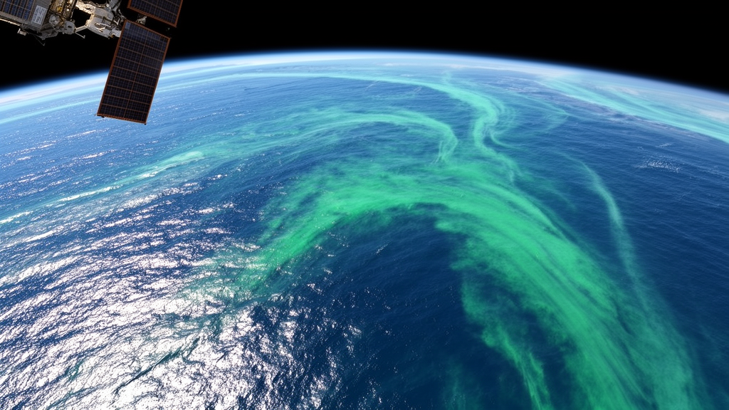
A self-supervised deep learning framework can accurately reconstruct missing satellite observations of ocean chlorophyll-a directly from incomplete records, outperforming conventional interpolation methods in regional and global tests. Developed by researchers from the Institute of Oceanology at the Chinese Academy of Sciences alongside the Center for Ocean Mega-Science and the University of Chinese Academy of Sciences, the model was detailed in a study published in the Journal of Remote Sensing on September 7, 2026. The new system, named the generalized data complementation model–empirical orthogonal function, or GDCM-EOF, addresses chronic data voids that hinder satellite monitoring of marine ecosystems without requiring externally generated gap-free training targets or synthetic reference reanalyses.
Satellite ocean-color observations provide indispensable baseline measurements of phytoplankton biomass, marine primary productivity, and global carbon cycling. However, pervasive cloud cover, unfavorable lighting conditions, and orbital sensor constraints leave widespread gaps across observational archives. In the daily European Space Agency Ocean Colour Climate Change Initiative dataset examined by the authors, missing values accounted for an average of 85.3 percent of the spatial coverage. Such severe gaps obscure vital oceanographic features, including dynamic fronts, mesoscale eddies, and river plumes, while distorting long-term trend calculations and phenology estimates. Standard spatial interpolation techniques tend to oversmooth local gradients, whereas traditional data-interpolating empirical orthogonal functions favor broad dominant patterns and frequently miss fine-scale physical structures. While supervised neural networks can model complex nonlinear dynamics, their dependence on external complete reference fields poses significant challenges, as suitable high-resolution chlorophyll reanalyses remain scarce and often exhibit systematic discrepancies with raw satellite data.
To overcome these limitations, GDCM-EOF relies on a self-supervised learning paradigm that extracts statistical relationships directly from existing observations rather than externally smoothed baselines. The research team structured their experiments using daily Ocean Colour Climate Change Initiative Version 6.0 records spanning 1998 through 2017. Observations from 1998 to 2014 served as the training and validation dataset, whereas data from 2015 to 2017 were reserved exclusively as an independent testing set. To eliminate the risk of test-data leakage, all preprocessing statistics, including normalization routines and empirical orthogonal function basis calculations, were computed strictly from the designated training window. The model was evaluated across two distinct geographic configurations: a regional high-resolution grid at 0.04-degree resolution covering the Caribbean Sea and a broader global grid at 1-degree resolution spanning 60 degrees South to 60 degrees North.
The model architecture integrates several complementary analytical components designed to capture complex spatial and temporal oceanographic patterns. A Fourier geolocation encoding module supplies latitude and longitude context to guide the network across varying geographical coordinates. An initial empirical orthogonal function block extracts the leading five spatial modes, deriving low-rank preliminary approximations across missing grid cells. These preliminary estimates are subsequently routed into an encoder-decoder network equipped with convolutional long short-term memory units, multiscale spatial-temporal attention, residual connections, and atrous spatial pyramid pooling. Furthermore, the framework employs a three-stage knowledge transfer strategy. Across these sequential stages, model weights and progressively refined spatial estimates pass forward, steadily improving reconstruction accuracy without ever treating unknown, missing pixels as ground-truth supervisory labels.
The training and validation mechanisms were formulated specifically to prevent artificial bias and self-referential training errors. During the training phase, the model receives a random subset of valid satellite observations alongside an observation mask, computing loss functions exclusively over genuinely observed coordinates so that missing pixels are excluded from supervision. For quantitative performance evaluation, the researchers deliberately withheld 15 percent of observed pixels as pseudo-ground truth reference values, providing the remaining 85 percent of observed points together with the natural missing-data mask as input. Accuracy was subsequently evaluated only at those withheld, genuinely observed pixels, with all metrics calculated within log10-transformed chlorophyll-a space to account for the wide dynamic range of biological concentrations.
Quantitative evaluations demonstrated that GDCM-EOF substantially surpassed the conventional data-interpolating empirical orthogonal function baseline in reconstructing withheld observations across both test regions. In the high-resolution Caribbean Sea regional domain, the reconstruction root mean square error dropped from 0.107 with the baseline method to 0.019 with GDCM-EOF, representing an 82 percent reduction in error, while the coefficient of determination climbed from 0.803 to 0.998. In global 1-degree evaluations across 60 degrees South to 60 degrees North, root mean square error fell from 0.110 to 0.066, reflecting a 40 percent decrease, while the coefficient of determination rose from 0.904 to 0.979. Beyond statistical metrics, reconstructed fields preserved coherent broad-scale structures and resolved fine-scale phenomena, such as tropical instability waves, the Amazon River plume and North Brazil Current system, and regional Caribbean eddies and filaments. Plausibility was corroborated against the Copernicus GlobColour product, though the researchers emphasized that GlobColour does not represent independent ground truth for originally omitted pixels.
Despite these notable performance gains, the researchers highlighted key methodological boundaries and technical challenges that govern the interpretation of their results. Because quantitative accuracy was determined exclusively against withheld valid pixels, the reported metrics reflect fidelity at observed locations rather than directly verified precision beneath persistent, long-duration cloud cover. Furthermore, the model incurs higher computational costs relative to traditional empirical orthogonal function baselines, and its reconstruction quality remains susceptible to sensor inconsistencies, input noise, and extended gaps. Looking ahead, the research group plans to explore lighter model architectures, neural compression methods, and accelerated training routines to reduce computational demands. The authors also aim to investigate diffusion models and quantified uncertainty frameworks to address ambiguity under chronic cloud cover, alongside joint multidimensional reconstruction incorporating sea surface temperature, salinity, and complementary biogeochemical variables.
Subject of Research: Self-supervised deep learning for reconstructing missing satellite ocean-color chlorophyll-a observations
Article Title: Self-supervised AI fills Chl-a gaps
Article References: Self-supervised AI fills Chl-a gaps. Original publication (Bibliographic details unavailable.)
Image Credits: AI Generated
DOI: Not provided
Keywords: ocean color, chlorophyll-a, remote sensing, deep learning, self-supervised learning, satellite observations, marine ecosystems, DINEOF, Self-supervised, fills, Chl-a, gaps
Cite Scienmag News
Blake Davidson. (November 9, 2026). Self-Supervised Deep Learning Framework Reconstructs Missing Satellite Chlorophyll Observations. Scienmag. https://scienmag.com/self-supervised-deep-learning-framework-reconstructs-missing-satellite-chlorophyll-observations/
Blake Davidson. "Self-Supervised Deep Learning Framework Reconstructs Missing Satellite Chlorophyll Observations." Scienmag, 9 November 2026, https://scienmag.com/self-supervised-deep-learning-framework-reconstructs-missing-satellite-chlorophyll-observations/. Accessed 9 November 2026.
Blake Davidson. "Self-Supervised Deep Learning Framework Reconstructs Missing Satellite Chlorophyll Observations." Scienmag. November 9, 2026. https://scienmag.com/self-supervised-deep-learning-framework-reconstructs-missing-satellite-chlorophyll-observations/




