


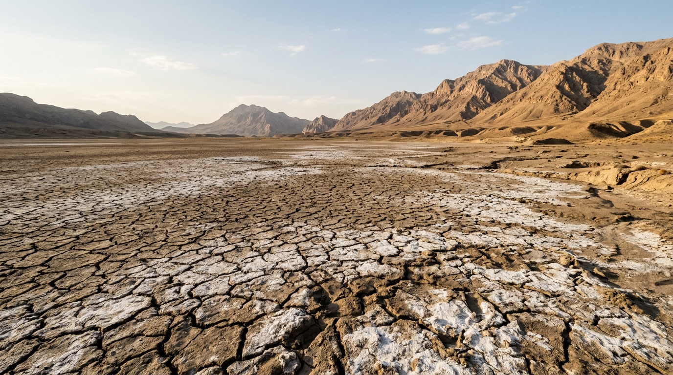
Researchers from Iran have developed a machine learning framework that improves the spatial resolution of satellite-derived terrestrial water storage data, offering a more detailed view of groundwater depletion in arid regions. Published in Environmental Earth Sciences, the study focuses on Yazd province, one of the driest areas in central Iran, where accurate monitoring of water resources is critical for sustainable management. The Gravity Recovery and Climate Experiment (GRACE) and its successor, GRACE-FO, provide valuable global estimates of water storage changes, but their coarse spatial resolution, typically around 110 kilometers, limits their utility for local-scale hydrological studies and aquifer management. To address this limitation, the study employed downscaling techniques to generate higher-resolution maps of terrestrial water storage anomalies.
The research team utilized three machine learning models to downscale the GRACE data: Extreme Gradient Boosting (XGBoost) and two Deep Neural Networks, designated DNN1 and DNN2. DNN1 was based on a Multilayer Perceptron architecture with five hidden layers, while DNN2 employed a deeper feed-forward neural network structure with more complex connectivity. The input data for these models were derived from high-resolution datasets, specifically CHIRPS for precipitation and TerraClimate for various climatic variables. These auxiliary datasets provided the spatial detail necessary to reconstruct the coarse GRACE grid cells into finer, more localized estimates of water storage variations.
A key challenge in downscaling satellite data is the presence of systematic bias in the model outputs, which can arise from scale mismatches or inaccuracies in the auxiliary datasets. To mitigate this, the study implemented the Artificial Bee Colony (ABC) metaheuristic algorithm as a bias correction framework. ABC is a stochastic optimization technique inspired by the foraging behavior of honey bees, designed to find optimal solutions in complex parameter spaces. In this context, the algorithm optimized the parameters of linear, polynomial, and exponential correction models to minimize the mean absolute bias between the downscaled data and observations from piezometer wells.
The performance of the models was evaluated using statistical indices, including the Coefficient of Determination (R²), Root Mean Square Error (RMSE), and Mean Absolute Error (MAE). The XGBoost model achieved the highest predictive accuracy, with an R² value of 0.829 and the lowest error metrics among the three models. In contrast, DNN2 demonstrated a competitive performance with an R² of 0.718, while DNN1 showed more limited predictive capability. The results highlight the effectiveness of tree-based ensemble methods in capturing statistical associations between terrestrial water storage anomalies and hydroclimatic predictors.
The application of the ABC algorithm significantly improved the agreement between the model outputs and the observed groundwater levels. Following bias correction, the RMSE decreased by an average of 12.45%. Visual analyses, including Taylor diagrams and violin plots, indicated that the error distributions became more symmetrical and concentrated around zero after the correction process. This reduction in systematic bias brought the mean error closer to zero and narrowed the error dispersion, resulting in more stable and accurate model predictions. The XGBoost model showed the most significant improvement, with its post-correction distribution nearly centered around zero.
Temporal analysis of the downscaled data revealed a continuous decline in equivalent water thickness over the past two decades. The models successfully reproduced the seasonal fluctuations and long-term trends present in the original GRACE data, with XGBoost and DNN2 showing very close correlations to the satellite observations. The study noted that the rate of decline intensified from around 2010 onward, likely due to consecutive drought periods and excessive groundwater extraction. The ML models were also capable of bridging temporal gaps in the satellite record, such as the 11-month gap between the GRACE and GRACE-FO missions, by interpolating missing data based on the learned hydroclimatic relationships.
Spatial analysis further demonstrated the capability of the downscaling approach to resolve local variations in water storage. Comparisons between February 2005 and November 2024 showed a drastic decline in land water equivalent thickness, with values dropping from near zero to approximately 25 mm. The northern and eastern areas, which were relatively wetter at the beginning of the period, became drier by the end, while the southern regions experienced the greatest decline. The XGBoost model produced spatial patterns that were more realistic than the original GRACE data, delineating precise boundaries between areas of severe and moderate decline. This enhanced spatial detail allows for a more precise analysis of groundwater storage variations within the province.
Validation of the downscaled products was conducted against ground-based observations from 367 piezometer wells distributed across Yazd province. The well data, covering the period from 2002 to late 2018, were used to assess the accuracy of the models and validate the variations derived from the GRACE data. The validation framework compared the temporal variations from the original GRACE data and the ML-based downscaled products with the corresponding variations from the in-situ observations. The results showed a strong agreement between the satellite observations, the downscaled predictions, and the piezometer measurements, providing confidence in the practical utility of the generated data.
The study acknowledges that the TWS anomalies represent the combined effect of groundwater, surface water, snow, and soil moisture, rather than direct measurements of groundwater storage alone. The interpretation of these data assumes that geophysical corrections adequately account for non-hydrological signals and measurement errors. Furthermore, the model did not include direct temporal variables, such as month or year, to avoid artificially inflating performance metrics through overfitting to seasonal cycles. Instead, it relied exclusively on spatial and climatic predictors, which may limit its ability to capture certain long-term trends compared to models that incorporate time-series features.
The findings suggest that the integration of machine learning models with metaheuristic bias correction algorithms can enhance the accuracy of GRACE-derived water storage estimates at the local scale. This approach supports more informed water resources management decisions in arid and semi-arid regions where groundwater plays a critical role. The study highlights the need for sustainable management strategies and advanced monitoring technologies to address the severe depletion of groundwater resources in Yazd province. Future work could involve the development of multi-objective optimization algorithms and the integration of complementary remote sensing datasets to further improve hydrological predictions and climate risk assessment.
The physical geography of Yazd province presents severe constraints that heighten the necessity for localized hydrological monitoring. Situated in central Iran between 30° and 32° north latitude and 52° and 55° east longitude, the province encompasses approximately 75,000 square kilometers of predominantly desert terrain. Climatic conditions in the region are exceptionally dry, characterized by an average annual precipitation of less than 100 millimeters alongside evaporation rates that surpass rainfall by several multiples. With no permanent rivers and negligible surface water reservoirs, regional domestic, agricultural, and industrial sectors depend almost entirely on subsurface extraction. Extended multi-decadal drought conditions have compounded these pressures, causing widespread groundwater level declines, water quality degradation, and land subsidence across several extraction corridors.
To capture these hydroclimatic dynamics, the investigation integrated multiple high-resolution products with NASA Jet Propulsion Laboratory RL06 Mascon solutions. The Mascon data, provided at a 0.5-degree grid resolution, minimizes signal leakage and offers enhanced spatial fidelity compared to traditional spherical harmonics approaches. Auxiliary meteorological inputs were extracted from CHIRPS at a 0.05-degree resolution, combining satellite infrared readings with ground-based rain gauge calibrations spanning 50°N to 50°S. In parallel, TerraClimate supplied 0.04-degree gridded fields spanning 1958 through 2024 under the IDAHO_EPSCOR/TERRACLIMATE collection. TerraClimate blends baseline climatological spatial patterns from WorldClim with monthly temporal variations from CRU Ts4.0 for precipitation and temperature, as well as JRA-55 reanalysis for vapor pressure and wind speed, generating modeled water-balance indices such as runoff, reference evapotranspiration, and climatic water deficit.
The implementation of the machine learning architectures relied on precise structural configurations. The top-performing XGBoost model was configured with 500 decision trees, a maximum tree depth of 6, a learning rate of 0.1, and subsample and feature sampling ratios of 0.8 to mitigate overfitting, alongside training via the Adam optimizer. DNN1 employed a Multilayer Perceptron architecture configured with five hidden layers containing 24, 18, 12, 6, and 4 neurons, trained using the LBFGS optimization algorithm with a regularization parameter of 0.001. DNN2 utilized an input layer of 48 neurons with sigmoid activation, followed by five consecutive hidden layers of 40, 36, 24, 18, and 12 neurons utilizing ReLU activation functions and He-Normal weight initialization, terminating in an unconstrained linear output neuron.
To execute post-downscaling adjustments, the Artificial Bee Colony algorithm simulated three discrete foraging classes. Employed bees investigated neighboring candidate solutions to refine mathematical coefficients, while onlooker bees directed intensified local exploitation around high-fitness food sources. When candidate parameters stagnated across repeated iterations, scout bees replaced abandoned food sources with randomized parameter vectors, preventing entrapment in local minima. Beyond numerical adjustments through linear, polynomial, and exponential formulas, coupling the optimization framework with Quantile Mapping enabled the simultaneous correction of distributional anomalies across water storage estimates.
Geospatial alignment and model execution were conducted in Python on Google Colab, leveraging the xarray, rasterio, xagg, and GeoPandas libraries to process NetCDF rasters and vector boundaries extracted from Google Earth Engine. For in-situ validation, monthly water table elevations recorded across 367 UTM-referenced observation wells from the Iran Water Resources Management Company underwent individual Min-Max scaling between zero and one. Aggregating these standardized records produced a unified provincial index, which was benchmarked against the bias-corrected outputs using Nash–Sutcliffe efficiency, Mean Squared Error, and absolute deviations. The optimized downscaling framework achieved an overall root mean square error of 3.733 centimeters, matching established satellite downscaling benchmarks while intentionally excluding artificial calendar indices to safeguard physical generalizability.
Subject of Research: Machine learning downscaling of GRACE satellite data for terrestrial water storage estimation in arid regions
Article Title: Enhancing GRACE-derived terrestrial water storage estimates through bias-corrected downscaling using machine learning and artificial bee colony optimization
Article References: Goodarzi, M. R., Asgarzadeh Torghabeh, M., & Niazkar, M. (2026). Enhancing GRACE-derived terrestrial water storage estimates through bias-corrected downscaling using machine learning and artificial bee colony optimization. Environmental Earth Sciences, 85(17), Article 447. https://doi.org/10.1007/s12665-026-13186-8
Image Credits: AI Generated
DOI: 10.1007/s12665-026-13186-8
Keywords: GRACE satellite, machine learning, terrestrial water storage, groundwater depletion, Yazd province, bias correction, Artificial Bee Colony, hydrology, remote sensing, water resources management, Enhancing, GRACE-derived
Cite Scienmag News
Teresa Odom. (November 8, 2026). Machine Learning Enhances GRACE Water Storage Data in Iran. Scienmag. https://scienmag.com/machine-learning-enhances-grace-water-storage-data-in-iran/
Teresa Odom. "Machine Learning Enhances GRACE Water Storage Data in Iran." Scienmag, 8 November 2026, https://scienmag.com/machine-learning-enhances-grace-water-storage-data-in-iran/. Accessed 13 November 2026.
Teresa Odom. "Machine Learning Enhances GRACE Water Storage Data in Iran." Scienmag. November 8, 2026. https://scienmag.com/machine-learning-enhances-grace-water-storage-data-in-iran/




