


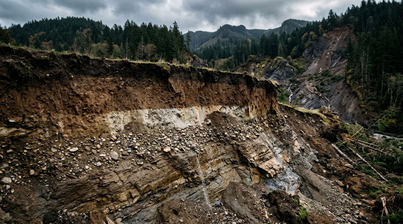
Reliable characterization of subsurface soil stratification is fundamental to geotechnical engineering and geological disaster risk assessment because the spatial configuration of subterranean soil strata directly governs ground deformation, slope instability, and liquefaction susceptibility. In geotechnical site investigations, cone penetration tests provide high-resolution vertical measurements of mechanical soil behavior, including cone tip resistance, sleeve friction, and pore pressure, which are commonly converted into the dimensionless soil behavior type index. Historically, engineers have constructed two-dimensional stratigraphic cross-sections either by manually drawing linear correlations between adjacent soundings or by spatially interpolating continuous soil properties across a coordinate grid before converting those values into discrete soil categories using the empirical Robertson chart. However, manual layer tracing often imposes unrealistic geometric assumptions and obscures thin stratigraphic lenses, while conventional spatial interpolation schemes suffer from severe boundary ambiguity and error propagation when test soundings are sparse horizontally. When continuous index values fall near empirical classification thresholds, minor numerical fluctuations produce blurred layer boundaries and misclassified units. To resolve these persistent limitations, geotechnical researchers Cheng Zeng, Jiawei Xie, and Yuting Zhang have introduced an uncertainty-aware machine learning framework that directly partitions the subsurface into categorical soil units while explicitly quantifying classification uncertainty.
Rather than estimating an intermediate continuous property field across unsampled space, the newly formulated framework implements a direct classification scheme using tree-based ensemble algorithms. Decision trees serve as the core building blocks for this task because their recursive partitioning mechanism naturally subdivides complex geometric spaces into discrete, relatively homogeneous categorical subspaces. By evaluating sample similarity across adjacent soundings, tree structures adaptively determine splitting variables and optimal thresholds directly from site data without requiring restrictive statistical assumptions such as field stationarity or preselected spatial covariance functions. To evaluate the categorical outputs, the research team adopted the harmonic F1 score metric, which incorporates precision and recall calculations to provide an objective measure of classification performance across highly imbalanced soil distributions where thin or isolated strata are represented by relatively few vertical measurements. While single decision trees struggle with intricate subterranean geometries, ensemble architectures combine predictions across numerous decision trees to dramatically reduce variance and capture subtle spatial correlations, making them exceptionally well-suited for tabular site characterization datasets containing limited horizontal sampling soundings.
A primary structural hurdle in applying machine learning to geotechnical site investigations is that standard Cartesian coordinates fail to provide sufficient spatial context when horizontal sampling points are widely separated. Relying solely on horizontal and depth coordinates frequently causes tree-based models to default to simple nearest-neighbor assignments that fail to capture realistic stratigraphy across unsampled intervals. To overcome this limitation, the authors adapted geotechnical distance fields as informative spatial input features for categorical classification. Geotechnical distance fields explicitly quantify the shortest Euclidean distances between any target coordinate and critical site features, including the ground surface, vertical sounding trajectories, and external domain boundaries. For a two-dimensional section containing multiple sounding lines, the candidate feature set incorporates one surface distance field reflecting the reality that horizontal scales of fluctuation typically exceed vertical scales, individual testing distance fields representing horizontal offsets from each sound sounding path, and four corner distance fields designed to assist in tracing non-linear stratigraphic curvatures. The formulation readily generalizes to three-dimensional volumes, expanding candidate inputs to surface elevations, three-dimensional sounding paths, and eight domain vertices.
Because subsurface geology varies widely across practical project sites, the framework avoids using all possible distance representations indiscriminately and instead utilizes tree-based variable importance metrics to identify the most informative inputs. During ensemble model training, variable importance is determined by measuring the cumulative decrease in Gini impurity achieved each time a particular feature is selected to split an internal node across the forest. Features that yield the largest impurity reductions across the ensemble receive the highest importance scores, allowing engineers to retain the spatial representations that best mirror site-specific structural geometries while discarding irrelevant fields. To determine the most effective algorithmic backbone, the researchers compared three distinct tree-based ensemble architectures: random forest, extra trees, and extreme gradient boosting. While extra trees models introduce extreme randomization during split selection to produce smooth spatial transitions, and gradient boosting iteratively optimizes ensemble residuals, the random forest architecture coupled with selected geotechnical distance fields demonstrated the most robust overall balance, avoiding over-smoothing while maintaining sharp boundary delineations.
Beyond predicting discrete soil distributions, the framework incorporates an automated boundary detection algorithm that objectively delineates structural contacts without relying on subjective manual tracing. Operating directly on the gridded categorical soil behavior field, the boundary detection algorithm calculates a binary indicator across adjacent grid cells in both horizontal and depth directions. Whenever the predicted categorical soil behavior type shifts between a target cell and its immediate horizontal or vertical neighbor, the indicator function records a non-zero state, marking that coordinate as an active interface. This gradient-based edge extraction technique transforms the raw categorical raster into continuous, vectorized geological contacts that capture thin lenses and inclined boundaries.
To prevent overconfidence in areas where investigation soundings are widely spaced, the system integrates a rigorous, distribution-free uncertainty estimation module based on the Gini impurity index. Within the tree ensemble, each individual decision tree casts a vote for the predicted soil behavior type at every spatial grid coordinate, generating an empirical probability distribution across all possible soil classes. The Gini impurity index aggregates these class probabilities into a single scalar value that measures the unpredictability of the local prediction without requiring parametric assumptions such as Gaussian error distributions. The impurity index reaches its theoretical minimum of zero when all ensemble trees predict the same soil class with complete consensus, whereas it attains its maximum value when all soil categories are deemed equally probable. To communicate this uncertainty intuitively, the framework visualizes the normalized Gini impurity field alongside the stratigraphic predictions using an alpha channel transparency mapping, where confident interior layer predictions remain fully opaque while transitional contacts and undersampled zones appear increasingly translucent.
The quantitative performance of the framework was initially validated using a highly controlled synthetic two-dimensional cross-section spanning a vertical depth grid resolution of two hundredths of a meter and a horizontal resolution of half a meter. The synthetic benchmark incorporated four representative stratigraphic elements generated via Gaussian random fields: continuous layers with linear boundaries, complex layers with non-linear curvatures, an isolated organic soil lens, and a thin sand layer. Training data were sampled along five synthetic penetration lines crossing multiple non-stationary property fields. When evaluated against conventional spatial interpolation conducted via extra trees, the direct classification scheme demonstrated decisive advantages. The conventional interpolation scheme yielded blurred layer interfaces and produced F1 scores ranging from 0.81 to 1.00, performing poorest across clay layers where continuous index values clustered near empirical class thresholds. In contrast, the random forest classifier using geotechnical distance fields achieved F1 scores between 0.96 and 1.00 across all units, maintaining an exceptional mean F1 score of 0.98.
Further synthetic ablation experiments demonstrated that the choice of spatial input representation is equally pivotal to stratigraphic prediction accuracy. When the random forest model was trained using conventional Cartesian coordinates, its predictions exhibited rigid, step-like boundaries that simply bisected the horizontal distance between adjacent soundings, dropping the F1 score for the isolated organic lens down to 0.86. Incorporating geotechnical distance fields raised the organic layer F1 score to 0.97 by enabling the ensemble to capture realistic non-linear spatial trends. Evaluating sounding density revealed that increasing penetration lines from five to ten raised the minimum clay layer F1 score from 0.96 to 0.98, while fifteen soundings achieved near-perfect accuracy across all strata. Notably, benchmark comparisons indicated that achieving the same mean classification accuracy obtained by the five-sounding distance field model required twelve soundings under conventional coordinate-based random forest classification and seventeen soundings under continuous interpolation, demonstrating that informative spatial inputs can substantially reduce the physical drilling soundings required during field exploration.
The real-world applicability of the method was demonstrated using field exploration data obtained from the New Zealand Geotechnical Database for a site characterized by six unevenly spaced cone penetration soundings and an adjacent verification borehole. The target cross-section encompassed a vertical depth of twelve meters and a horizontal span of eighty-six meters, with cone penetration readings processed at their native vertical resolution of two hundredths of a meter. Eleven candidate geotechnical distance fields were generated, from which the ground surface distance and four corner distance fields were selected based on impurity importance rankings. The resulting random forest model successfully resolved an upper sand mixture sequence, intermediate sand, clay, and silt layers, and basal gravelly dense sand, with alpha channel uncertainty maps correctly highlighting elevated ambiguity in the wide horizontal gap between the fifth and sixth soundings. Automatic gradient detection traced complex, undulating interfaces across all recognized units, capturing fine-scale stratigraphic variations that conventional engineering profiles regularly overlook.
Comparing the machine learning predictions against the physical borehole record highlighted both the resolving power and the practical nuances of digital site characterization. The borehole log, classified under the Unified Soil Classification System via visual core inspection and laboratory index tests, delineated eight broad soil strata but failed to detect thin sand intercalations within the broader sand mixture sequence. In contrast, the continuous cone penetration model successfully distinguished these thin layers due to its dense vertical sampling interval. Discrepancies between the two methods, including the identification of clay lenses where the borehole recorded peat near eight meters depth, stemmed from fundamental differences between physical mechanical cone responses and grain-size classification criteria, alongside the horizontal spatial offset separating the borehole from the projected sounding alignment. The investigators emphasized that while distance fields successfully generalize to two-dimensional sections, future operational implementation requires three-dimensional field validation, systematic integration of complementary geophysical surveys, and rigorous site-specific calibration between penetration indices and geological soil classifications.
Subject of Research: Machine learning for CPT-based subsurface soil stratification and geological hazard assessment
Article Title: An uncertainty-aware framework with enhanced tree-based methods for CPT-based subsurface soil stratification toward geological disaster risk assessment
Article References: Zeng, C., Xie, J., & Zhang, Y. (2026). An uncertainty-aware framework with enhanced tree-based methods for CPT-based subsurface soil stratification toward geological disaster risk assessment. Geoenvironmental Disasters, 13(1), Article 44. https://doi.org/10.1186/s40677-026-00396-2
Image Credits: AI Generated
DOI: 10.1186/s40677-026-00396-2
Keywords: geotechnical engineering, soil stratification, cone penetration test, machine learning, random forest, geotechnical distance fields, hazard assessment, uncertainty estimation, uncertainty-aware, framework, enhanced, tree-based
Cite Scienmag News
Violet Maxwell. (November 7, 2026). Machine Learning Framework Maps Underground Soil Layers to Assess Geological Hazards. Scienmag. https://scienmag.com/machine-learning-framework-maps-underground-soil-layers-to-assess-geological-hazards/
Violet Maxwell. "Machine Learning Framework Maps Underground Soil Layers to Assess Geological Hazards." Scienmag, 7 November 2026, https://scienmag.com/machine-learning-framework-maps-underground-soil-layers-to-assess-geological-hazards/. Accessed 22 November 2026.
Violet Maxwell. "Machine Learning Framework Maps Underground Soil Layers to Assess Geological Hazards." Scienmag. November 7, 2026. https://scienmag.com/machine-learning-framework-maps-underground-soil-layers-to-assess-geological-hazards/




