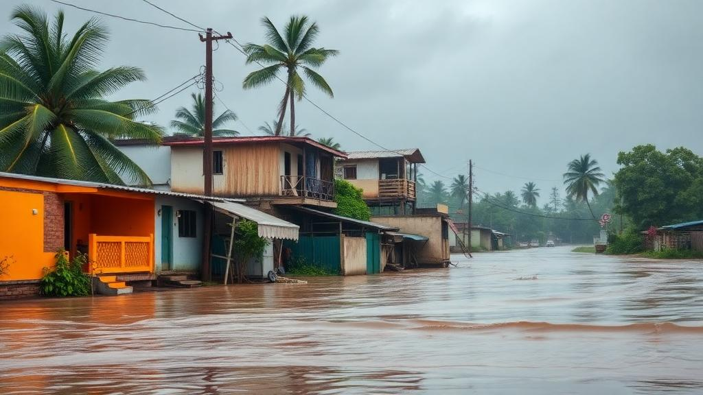
On the night of 26 July 2023 and into the early morning hours of 27 July, an extraordinary band of rain fell across the eastern central districts of Telangana, a landlocked state on India’s Deccan Plateau. According to Telangana state government records analysed in a new case study, 51 stations spread across 11 districts recorded extremely heavy rainfall, defined by the India Meteorological Department as more than 20.4 centimetres in a day. Chityal received the highest total of 62.04 centimetres, while the state weather and climate report logged 64.98 centimetres in 24 hours at Lakshmidevipet in Mulugu district, including 177.3 millimetres in a single hour, an amount the report classifies as equivalent to a cloudburst. The event marked the highest rainfall over Telangana in the preceding ten years.
A study published in Discover Atmosphere by Maria Emmanuel, Nagaratna Kopparthi and colleagues dissects the meteorological machinery behind that night using an unusually broad set of instruments: station rain gauges from the IMD and the Telangana state government, radiosonde soundings from Ramgundam and Hyderabad, thermal infrared imagery from the INSAT-3D satellite, reflectivity data from an S-band Doppler Weather Radar at Hyderabad, hourly ERA-5 reanalysis fields, and HYSPLIT back trajectories. The authors’ goal was not to forecast the event but to reconstruct, hour by hour and layer by layer, the synoptic and mesoscale conditions that produced it, in the hope that the diagnostic signatures they identify could sharpen future nowcasting of similar systems.
The hourly data tell a story of a narrow, intense window. Rainfall intensity rose after midnight on 26 July and peaked between 3 and 6 Indian Standard Time, corresponding to 21:30 to 00:30 UTC, at all three of the highest-rainfall stations examined: Chityal, Regonda and Ghanpur. The IMD gridded dataset, which interpolates from rain gauges at a 0.25-degree resolution, captured 12 grid points over Telangana exceeding the extreme rainfall threshold, with a maximum of 41.06 centimetres at the grid cell containing Chityal, but the station data show the true totals were considerably higher, a reminder of how coarse gridded products can smooth out the sharpest peaks of a convective deluge.
The vertical structure of the atmosphere over the region, as measured by the radiosonde at Ramgundam, the sounding station nearest to Chityal, revealed an atmosphere primed to saturation. On 27 July at 00 UTC, the dewpoint temperature equalled the ambient temperature from the 925 hPa level all the way up to 400 hPa, indicating saturated air, most likely cloud, through that deep layer. Relative humidity stood at 100 percent through the same span, and the water vapour mixing ratio peaked at 20 grams per kilogram near 925 hPa. Precipitable water vapour over Ramgundam had exceeded 75 millimetres from 21 to 28 July, peaking on the very day of the deluge, and the K index, a measure of convective potential, exceeded 40, a value the authors associate with a high probability of deep convection.
Hourly ERA-5 reanalysis fields at the grid point nearest Chityal traced the buildup in fine detail. Precipitable water vapour hovered between 60 and 70 millimetres through 21 to 25 July, reached a minimum near 60 millimetres by the afternoon of 25 July, and then climbed steadily until the night of 26 July, when it hit 70 millimetres. Over the same period the daily mean surface temperature fell and its diurnal cycle flattened, and the ambient and dewpoint temperatures converged to near-equal values, the signature of near-saturated air. The vertically integrated moisture flux divergence turned strongly negative during 26 and 27 July, peaking near minus 2 times 10 to the minus 3 kilograms per square metre per second, indicating intense moisture convergence over the station. The K index peaked a few hours before the precipitable water vapour maximum on the night of 26 July.
Higher aloft, the reanalysis showed the thermal and dynamical fingerprint of a vigorous convective system. A positive temperature anomaly, calculated against the July 2023 monthly mean, appeared above 2 kilometres and extended into the upper troposphere during 26 and 27 July, which the authors attribute most probably to latent heat released inside the convective clouds. Relative humidity rose above 80 percent through the whole tropospheric column, and a persistent humid layer between 2 and 5 kilometres had been in place since 23 July. Vertical wind data revealed a strong updraft reaching the tropopause region from 25 to 27 July, peaking on the day of the heaviest rain, while relative vorticity, high since 21 July, peaked from the surface up to about 200 hPa on 27 July.
Satellite imagery placed the event in its larger synoptic context. INSAT-3D thermal infrared brightness temperatures below 240 K over Telangana signalled deep convection with cloud tops above 8 kilometres, and the brightness temperature minimum fell between 12 UTC on 26 July and 00 UTC on 27 July, coinciding with the period of maximum rainfall. The imagery showed a deep convective system that had originated over the Bay of Bengal by 25 July and travelled westward, reaching the west coast of India by the end of 27 July, carrying a clear cyclonic circulation with it. ERA-5 wind fields at 00 UTC on 27 July showed a strong low-level jet below 2 kilometres and an upper-air cyclonic circulation in the 3 to 12 kilometre layer over Telangana, capped by the tropical easterly jet at 200 hPa.
The Doppler Weather Radar at Hyderabad supplied the mesoscale close-up. Multiple convective cells began developing from 13:12 UTC on 26 July, drifting southwestward before turning northeast. Radial velocity plots confirmed the circulation, and the vertical structure showed active convection penetrating above 10 kilometres. This mesoscale circulation, the study concludes, directly produced the high-intensity rainfall during the midnight-to-dawn hours over Chityal and its surroundings.
Where did the water come from? HYSPLIT five-day back trajectories arriving at Chityal at altitudes from 1 to 12 kilometres traced the airflow backwards in time. At 1 and 1.5 kilometres the flow was northeasterly, originating from the Arabian Sea and entering the Deccan Plateau around 20 degrees north, while trajectories from 3 to 10 kilometres followed a cyclonic loop, and the 12-kilometre trajectory ran purely easterly along the tropical easterly jet. Crucially, the analysis showed that the cyclonic circulation over Telangana existed only above 2 kilometres, and the moisture-laden air below that height, the air that actually fed the storm, came from the Arabian Sea, transported by the strong low-level jet. Relative humidity along the low-level trajectories climbed toward 100 percent in the final day before arrival, consistent with saturation and rainfall along the path.
The authors synthesise the event as the product of a stacked architecture: a mesoscale convective system formed where moisture-laden low-level flow from the Arabian Sea ran beneath a cyclonic circulation that had arrived from the Bay of Bengal and sat in the 3 to 10 kilometre layer, with the undulating plains, hills and forested terrain of the eastern Deccan Plateau, ringed by the Western Ghats, Eastern Ghats and Vindhya-Satpura ranges, helping to trap the transported moisture in place. They suggest that the characteristic radar reflectivity signatures, precipitable water vapour levels and moisture convergence patterns identified here could help forecasters recognise and nowcast similar systems, and they propose that future work should establish operational thresholds for these parameters. As a single-event case study drawing on observations, reanalysis and trajectory modelling, the analysis reconstructs one dramatic night over the Deccan in unusual detail, while the authors themselves note that translating its diagnostics into forecasting practice remains work for future studies.
Subject of Research: Dynamical and thermodynamical analysis of the extreme rainfall event over Telangana, India, on 26-27 July 2023
Article Title: Dynamical and thermodynamical aspects of an extreme rainfall event over Telangana
Article References: Emmanuel, M., Kopparthi, N., Subrahmanyam, K. V., Akasapu, D. R., & Sravani, A. (2026). Dynamical and thermodynamical aspects of an extreme rainfall event over Telangana. Discover Atmosphere, 4(1), Article 26. https://doi.org/10.1007/s44292-026-00095-5
Image Credits: AI Generated
DOI: 10.1007/s44292-026-00095-5
Keywords: extreme rainfall, Telangana, India monsoon, mesoscale convective system, Doppler weather radar, radiosonde, ERA-5 reanalysis, HYSPLIT back trajectories, moisture transport, low-level jet, cyclonic circulation, INSAT-3D
Cite Scienmag News
Russell Cooper. (October 28, 2026). Arabian Sea moisture and a stacked cyclone drove Telangana’s record 2023 deluge. Scienmag. https://scienmag.com/arabian-sea-moisture-and-a-stacked-cyclone-drove-telanganas-record-2023-deluge/
Russell Cooper. "Arabian Sea moisture and a stacked cyclone drove Telangana’s record 2023 deluge." Scienmag, 28 October 2026, https://scienmag.com/arabian-sea-moisture-and-a-stacked-cyclone-drove-telanganas-record-2023-deluge/. Accessed 28 October 2026.
Russell Cooper. "Arabian Sea moisture and a stacked cyclone drove Telangana’s record 2023 deluge." Scienmag. October 28, 2026. https://scienmag.com/arabian-sea-moisture-and-a-stacked-cyclone-drove-telanganas-record-2023-deluge/