


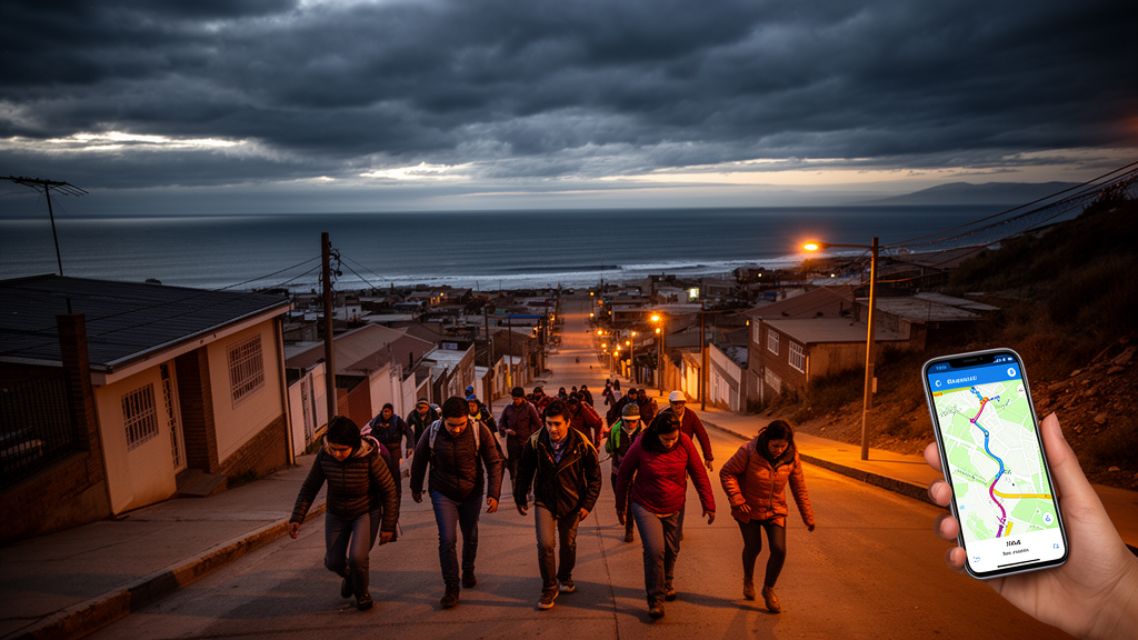
When a large earthquake strikes off the coast of central Chile, residents of cities such as Viña del Mar may have only a handful of minutes before the first tsunami waves arrive. The route a person chooses, and above all the moment they start moving, can determine whether that route ends on high ground or in the inundation zone. A new study published in Seismological Research Letters quantifies just how narrow that window is, using a low-cost tool that combines real GPS tracks recorded during evacuation drills with time-dependent models of tsunami flooding.
The study, conducted by Alejandra Gubler and Matías Carvajal of the Pontificia Universidad Católica de Valparaíso and the Pontificia Universidad Católica de Chile, analyzed 119 GPS trajectories collected from participants in community tsunami evacuation drills held in Viña del Mar between 2022 and 2026. Most of the participants were university students, and each was instructed to follow an evacuation route shown on the official evacuation map for the area. Some recorded trajectories instead followed local evacuation signage, which the researchers noted does not always match the official map.
To judge whether each trajectory would have ended in safety, the researchers compared the recorded movements against a simulated time-dependent tsunami inundation field for a plausible subduction earthquake scenario in the region. Rather than treating flooding as a static boundary on a map, this approach models how the water advances over time, so that a route can be evaluated against the arrival of the tsunami at each point along the way. The central finding of the analysis is stark: the feasibility of evacuation depends strongly on when people begin to move after the earthquake.
If participants had begun evacuating immediately at the start of the earthquake, 100 of the 119 recorded trajectories would have allowed them to reach safety before the simulated inundation caught up with them. But when the researchers shifted the departure time to eight minutes after the earthquake origin, roughly the moment at which an official tsunami warning would be issued, only 49 of the trajectories still led to safety. At twelve minutes after origin, the picture collapses almost entirely: only three of the trajectories would have reached higher ground before the rising waters overtook them.
“In near-field settings like central Chile, where the tsunami can reach the coast within minutes of the earthquake, that margin is very small, so every minute really counts,” said Gubler. The near-field geometry is what makes the region so demanding for evacuation planning. Beyond the overall timing effect, the analysis revealed sharp spatial contrasts between evacuation corridors.
The researchers grouped the 119 trajectories into 13 main corridors and found that the number of feasible corridors, meaning paths that would lead to safety before being overtaken by the tsunami, decreased substantially as the departure time was delayed. The decline was not uniform across the city, however. In one corridor, 91 percent of participants would have completed their evacuation when leaving eight minutes after the earthquake origin.
In a corridor only 200 meters away, just 13 percent would have evacuated safely under the same start time. The researchers attribute these differences to both the local pattern of simulated inundation and the recorded movement of the people using each route. Turning the analysis into something residents could grasp was a central part of the project.
Gubler and Carvajal produced simple but dramatic video animations that show the recorded GPS trajectories together with the advancing simulated tsunami inundation over the first 45 minutes after the earthquake origin. In these visualizations, participants appear as semi-transparent black dots moving along their recorded paths. When the simulated inundation reaches a participant, the dot turns red and remains fixed at that location, making the consequence of a delayed or infeasible route immediately visible.
The reaction to those videos among drill participants was striking. “What really surprised us was what happened when we showed the videos to the drill participants. As they watched their own trajectories being reached by the simulated tsunami, you could hear a general ‘oooohhh’ across the room,” said Gubler.
“That reaction showed us how much the videos captured their attention, in a way that a graph or a curve rarely does,” she added. The researchers suggest that this visceral, personalized form of feedback communicates the time-critical nature of near-field tsunami evacuation more effectively than conventional static outputs. That contrast points to a broader limitation of the tools most communities currently rely on.
“Most of the tools communities rely on, such as evacuation maps, are static. They show where to go, but not how much time you actually have to get there,” Gubler noted. The researchers emphasize that the work is a proof of concept for Viña del Mar, based on an observational analysis of drill trajectories under one plausible earthquake scenario, and that the findings reflect both modeled inundation and the specific behavior of the drill participants.
They have also gathered substantial information on the difficulties participants encountered during the drills, such as problems with particular routes or infrastructure, which Gubler said the team would like to analyze properly in future work. Plans are underway to work with local authorities and the institutions that supported the study to share the animations more widely. Still, Gubler cautioned that the awareness effect is strongest when people see their own route tested against the simulated wave.
“Watching someone else’s trajectory is informative; watching your own is what really makes an impression,” she said. The paper appears as part of an upcoming Seismological Research Letters Focus Section on Advances in Operational Response.
Subject of Research: Time-critical feasibility of near-field tsunami evacuation routes assessed with GPS drill tracks and inundation modeling in Viña del Mar, Chile
Article Title: A low-cost tool can help people plan successful evacuation routes during a tsunami
Article References: A low-cost tool can help people plan successful evacuation routes during a tsunami. Original publication (Bibliographic details unavailable.)
Image Credits: AI Generated
DOI: Not provided
Keywords: tsunami, evacuation, GPS trajectories, Viña del Mar, Chile, inundation modeling, near-field tsunami, Seismological Research Letters, evacuation drills, disaster preparedness, subduction earthquake, risk communication
Cite Scienmag News
Violet Maxwell. (October 26, 2026). Low-cost GPS tool reveals how minutes decide tsunami evacuation survival in Chile. Scienmag. https://scienmag.com/low-cost-gps-tool-reveals-how-minutes-decide-tsunami-evacuation-survival-in-chile/
Violet Maxwell. "Low-cost GPS tool reveals how minutes decide tsunami evacuation survival in Chile." Scienmag, 26 October 2026, https://scienmag.com/low-cost-gps-tool-reveals-how-minutes-decide-tsunami-evacuation-survival-in-chile/. Accessed 26 October 2026.
Violet Maxwell. "Low-cost GPS tool reveals how minutes decide tsunami evacuation survival in Chile." Scienmag. October 26, 2026. https://scienmag.com/low-cost-gps-tool-reveals-how-minutes-decide-tsunami-evacuation-survival-in-chile/


