


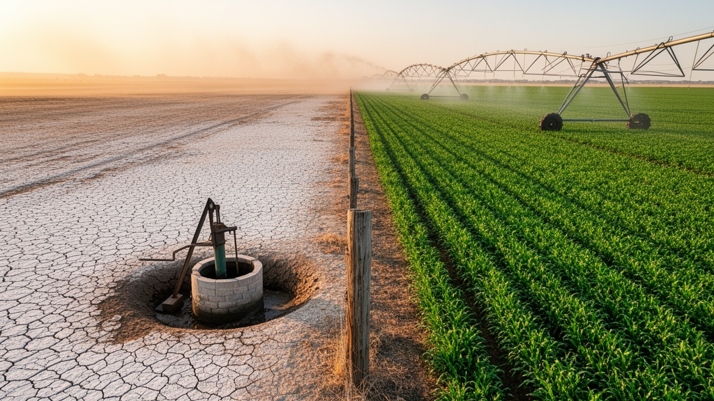
Groundwater depletion and the irrigation that drives it tend to concentrate close to international borders within aquifers shared by two or more countries, precisely where pumping on one side of the line is most likely to affect users on the other, according to a new publication from the United Nations University Institute for Water, Environment and Health. The policy brief, titled Why Groundwater Use Location Matters in Transboundary Aquifers, warns that this concentration of use sits alongside a striking governance gap: only 11 percent of the country pairs that share an aquifer report an operational cooperative arrangement, and fewer than 5 percent are covered by a formal treaty. The publication argues that the international community has long approached shared groundwater with the wrong question, asking whether countries share an aquifer rather than where, within that aquifer, the water is actually being drawn.
The brief draws on a global analysis by researchers at UNU-INWEH, the Swiss Federal Institute of Aquatic Science and Technology, the University of Delaware, Politecnico di Milano and the Colorado River Commission of Nevada, published in the Proceedings of the National Academy of Sciences. That study combined groundwater-level observations with global irrigation data to map where depletion and groundwater-dependent agriculture occur within the 426 known transboundary aquifers, which extend beneath nearly all international land borders and underlie about 35 percent of the world’s groundwater-irrigated cropland. The analysis produced a counterintuitive headline result: on average, groundwater depletion is no greater in transboundary aquifers than in comparable aquifers lying entirely within a single country. The difference between the two categories lies not in how much water is lost, but in where the loss happens.
Within shared aquifers, both depletion and groundwater-dependent irrigation sit closer to international borders, a spatial pattern that comparable domestic aquifers do not show. This distinction matters because of the basic physics of groundwater flow. Pumping lowers groundwater levels most strongly near the well itself, with the drawdown effect weakening with distance and spreading outward over time as the cone of depression around the well expands. Intensive pumping near a border therefore has greater potential for cross-border effects than comparable pumping farther away from the line. The authors are careful, however, to state what their finding does not show. Border proximity alone does not demonstrate that one country’s pumping is changing groundwater levels or well yields in another country; it flags where closer, local hydrogeological assessment is needed to determine whether effects actually cross the boundary.
Countries often treat a shared aquifer as one shared problem, but that is rarely how groundwater behaves, said Dr Marc F. Müller, Associate Research Professor for water cooperation and conflicts at UNU-INWEH and lead author of the brief. A well pumping far from the border may barely register on the other side, while intensive pumping right along the line can affect neighbours directly. Knowing where water is drawn tells countries what they actually need to cooperate on, and where. The observation reframes transboundary groundwater governance from a question of blanket treaty-making toward a question of targeted, geography-matched cooperation, in which the intensity and placement of use determine which instruments are worth negotiating.
The publication sorts the 568 country–aquifer pairs into categories based on how groundwater-dependent agriculture is distributed relative to the boundary. In 71 percent of pairs, groundwater-dependent agriculture near the border is limited, meaning the two sides’ use is largely separated. In 22 percent of pairs, such agriculture is spread across the border region, and in 7 percent it is highly concentrated at the boundary itself, a category the authors label Border Locked. The classification gives governments and basin managers a diagnostic vocabulary: a pair in which intensive wells sit far from the line faces a fundamentally different cooperation problem from one in which cropland and pumping press directly against the border on both sides.
That picture could change as irrigation expands. Under a potential irrigation scenario that maps water-stressed cropland in shared border regions, the number of country pairs with agriculture spread across the border region rises from 125 to 211, and Border Locked pairs more than double, from 40 to 87. The authors emphasize that the scenario does not predict where irrigation will expand. Rather, it shows where current patterns could shift if water-stressed cropland in border regions were brought under irrigation, and it illustrates how the scope to keep pumping away from the border could shrink as new wells and fields move toward the line. The exercise is intended as a planning horizon, identifying pairs where the window for preventive arrangement is widest now and narrows as agricultural frontiers advance.
The core recommendation of the brief is that cooperation should match the geography of use. As a first step, countries sharing an aquifer could map groundwater demand and depletion relative to the border, together with the hydrogeological conditions that determine whether pumping effects can cross it. Where intensive use sits away from the border, monitoring and data sharing, alongside zone-based measures such as pumping setbacks or protected areas, can help keep the two sides’ use effectively separated. The brief points to the protected and management areas established by Jordan and Saudi Arabia for the Al-Sag/Al-Disi aquifer as an existing example of this approach, in which zonal arrangements keep intensive abstraction away from the boundary.
Where use is concentrated along the border, by contrast, countries may need to coordinate how much groundwater is pumped and, where relevant, manage recharge together. The brief cites the Genevois aquifer, which France and Switzerland have managed jointly for decades, as a long-running example of coordinated abstraction and recharge management in a border-adjacent setting. The distinction between the two models is central to the publication’s argument. Separation-based instruments, which rely on distance to damp cross-border effects, are adequate only where the geography of use permits them; where the geography of use does not, quantity-based coordination becomes the necessary instrument, and the hydrogeological assessment of whether effects cross the border becomes the evidence base on which such coordination must rest.
In an era of global water bankruptcy, shared groundwater is too valuable to manage on assumptions, said Professor Kaveh Madani, Director of UNU-INWEH and a co-author of the publication. This work gives countries a practical starting point: look first at where water is being used, then build the kind of cooperation that fits. Acting before new wells and fields move towards the border keeps far more options open. Madani noted that as governments prepare for the UN 2026 Water Conference in December, evidence of this kind can help turn commitments on transboundary cooperation into arrangements that work on the ground, linking the conference’s diplomatic agenda to the specific spatial diagnostics the brief provides.
The publication arrives amid a broader reassessment of how shared groundwater is governed worldwide. With 426 known transboundary aquifers beneath nearly all international land borders, supporting about a third of global groundwater-irrigated cropland, and with only 11 percent of the 568 country–aquifer pairs reporting operational cooperation and under 5 percent covered by formal treaty, the gap between the hydrological reality of shared aquifers and the institutional machinery managing them remains wide. The brief’s contribution is to narrow that gap analytically: by showing that depletion within shared aquifers concentrates where cross-border effects are most likely, and by giving governments a sequence of steps, from mapping demand and depletion relative to the border, through hydrogeological assessment of connectivity, to zone-based or quantity-based instruments matched to the result, it converts a general call for cooperation into a specific, evidence-driven programme that countries can begin implementing before irrigation expansion forecloses the option of keeping pumping away from the line.
Subject of Research: Spatial distribution of groundwater use and depletion in internationally shared aquifers and its implications for transboundary cooperation
Article Title: Shared aquifers, border hotspots: cooperation should follow where groundwater is pumped, UN scientists say
Article References: Shared aquifers, border hotspots: cooperation should follow where groundwater is pumped, UN scientists say. Original publication (Bibliographic details unavailable.)
Image Credits: AI Generated
DOI: Not provided
Keywords: groundwater, transboundary aquifers, UNU-INWEH, water cooperation, irrigation, PNAS, UN 2026 Water Conference, water governance, Shared, aquifers, border, hotspots
Cite Scienmag News
Courtney Benton. (October 26, 2026). Groundwater depletion clusters along borders in shared aquifers, UN scientists warn. Scienmag. https://scienmag.com/groundwater-depletion-clusters-along-borders-in-shared-aquifers-un-scientists-warn/
Courtney Benton. "Groundwater depletion clusters along borders in shared aquifers, UN scientists warn." Scienmag, 26 October 2026, https://scienmag.com/groundwater-depletion-clusters-along-borders-in-shared-aquifers-un-scientists-warn/. Accessed 26 October 2026.
Courtney Benton. "Groundwater depletion clusters along borders in shared aquifers, UN scientists warn." Scienmag. October 26, 2026. https://scienmag.com/groundwater-depletion-clusters-along-borders-in-shared-aquifers-un-scientists-warn/


