


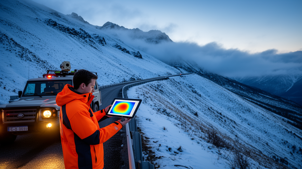
Every winter, road engineers in alpine regions face the same high-stakes question: should this mountain road stay open today, or does the avalanche danger justify closing it? A new study published in The Cryosphere presents a proof of concept for answering that question with numbers rather than intuition alone. Julia Glaus of the WSL Institute for Snow and Avalanche Research SLF in Davos and her colleagues have developed an automated workflow that combines weather station measurements, weather forecasts, snowpack simulations and avalanche dynamics models to produce daily probability indication maps of potential avalanche runout. The maps show, pixel by pixel and along the road itself, how likely different sections are to be hit by an avalanche core or powder cloud under the conditions expected on that particular day.
The motivation is both practical and generational. Permanent protection structures such as avalanche fences and galleries cannot cover every road, railway and ski run, so safety protocols rely on avalanche forecasts, measurement networks and expert judgement to decide on temporary closures or artificial releases. But climate-driven shifts in snowpack conditions, combined with a turnover among experienced practitioners, are making experience-based decision-making harder to sustain. Existing hazard maps, which in Switzerland are built around discrete return periods of 10, 30, 100 and 300 years, are designed for long-term land-use planning rather than daily operations. The new framework aims to fill that gap by translating real-time observations into a spatial overview of the current avalanche situation.
The study site is the Dischma road in the Davos region, focusing on the Brämabüel slope, where avalanche activity and road closures have been documented over 26 winter seasons from 1999 to 2025. The area is covered by a dense network of automatic IMIS weather stations, and in November 2023 two additional stations with low-cost LiDAR sensors were installed near the release zone, measuring snow depth hourly over an area of 14,500 square metres. Four main avalanche paths descend towards the road, of which three are analysed; the fourth is excluded because avalanche fences were installed there in 1997. Only 12 avalanches are documented as having reached the road section between Duchli and Chaiseren in the 26-year record, which underlines how rare and consequential such events are.
The workflow begins with terrain data from a 5-metre digital elevation model and an automated algorithm that identifies potential release areas based on steepness, terrain shape and surface roughness, considering small avalanches of 5,000 to 25,000 cubic metres and medium-sized ones of 25,000 to 60,000 cubic metres. Larger volumes are deliberately excluded, because events of that scale typically occur at very high danger levels when roads are closed as a precaution anyway. Snowpack conditions are then derived from SNOWPACK, a physically based snow cover model driven by the meteorological stations. Two release scenarios are considered throughout: failure within newly accumulated fresh snow, and failure on the most unstable buried weak layer, identified using an established method. Potential fracture depths are taken from flat-field stations and adjusted for elevation and slope angle.
Wind plays a decisive role in the release zones. The high-resolution LiDAR measurements revealed substantial redistribution of snow by wind, so the framework adds extra snow loading of 0.25 metres for moderate and 0.5 metres for strong wind drift whenever wind speeds exceed 7.5 metres per second from directions that transport snow into the avalanche path. Each scenario is then simulated with RAMMS::Extended, a dynamics model that explicitly accounts for erosion and entrainment of snow along the track, a process known to strongly influence avalanche mass and runout. Erosion depth is limited to the fracture depth of each scenario. Weather forecasts from MeteoSwiss models, with roughly 1-kilometre resolution and a 24-hour lead time, supply predicted precipitation and temperature, and an additional colder or warmer simulation scenario is included to cover uncertainty in snowpack temperature.
The researchers tested two ways of weighting the scenarios. In the simpler frequency approach, all fracture depths predicted by the different stations are treated as equally probable, grouped into bins of 0.1 metres, and each bin’s contribution to the hit probability at any pixel is weighted by its relative frequency. In the more refined stability approach, the natural stability index from SNOWPACK, the ratio of weak-layer shear strength to the applied shear stress of the slab, is converted into a release probability through an error function, giving high probability below an index of 1, a transition around 1.5 and low probability at or above 2. The authors stress that because the framework relies on a limited ensemble of input scenarios, the outputs should be read as relative probability indicators rather than absolute probabilities, hence the term probability indication maps.
Validation was carried out as a hindcast for four well-documented events. The first, on 15 January 2019, followed a 36-hour snowfall that added 0.56 metres of snow at the Weissfluhjoch station; danger level 4 was forecast, and three powder snow avalanches were artificially triggered by helicopter explosives, all reaching the road despite modest release volumes of 5,000 to 10,000 cubic metres, largely because of snow entrainment along their paths. Combining the station data, forecast and SNOWPACK simulations produced 72 combinations of release height and temperature, which together with 96 potential release areas meant 6,912 individual simulations for small release zones and 3,528 for medium ones. The spatial pattern of higher probabilities aligned well with the observed avalanche paths, and the medium release zone scenario indicated hit probabilities along the road of up to 80 percent for track 3, whereas small release zones yielded maxima of roughly 20 percent.
The 2025 events provided a sharper test. Within a single 24-hour forecast period, two avalanches were triggered on different slopes under comparable meteorological conditions: one at Breitzug on 28 January that reached a river, and a smaller one at Brämabüel the next morning that stopped well before the base of the slope. The probability indication maps, generated from the same forecast cycle, correctly reflected this contrast, differing because of predicted weak-layer characteristics tied to slope exposure. Applying the stability approach to the Breitzug event produced similar road-impact values to the frequency approach, around 10 to 15 percent for medium release zones, but with a more nuanced spatial distribution within the path. Four older events from 1999, 2017, 2018 and 2021, reconstructed with sparser data, showed the framework could generally distinguish road-reaching from non-road-reaching avalanches, though with a systematic tendency for track 3 to run too far and tracks 1 and 2 too short, likely because small-scale vegetation that increases basal friction is not represented in the model.
The authors are careful about what the maps can and cannot tell a decision-maker. An observed runout confirms that a scenario was possible but does not reveal its true occurrence probability, and artificially triggered avalanches can validate whether simulated runouts are plausible without validating the absolute probability of natural release. The maps also inherit uncertainties from weather forecasts and from point measurements taken mostly in flat terrain, which may not represent steep release zones; notably, simply adding more stations did not improve predictive skill, whereas a station located in steeper terrain corresponded better with the Brämabüel slope. Snow temperature proved a particularly sensitive and hard-to-measure input, and the static, return-period-based delineation of release zones is suboptimal for operational forecasting, which would benefit from dynamically adapting release areas to prevailing conditions.
As a proof of concept, the framework demonstrates that real-time weather and snowpack data can be turned into a rapid, spatially explicit overview of where avalanches might reach a road on a given day, reliably distinguishing events that hit the road from those that stop partway down. The researchers see particular value for regions where a single decision-maker must assess hazard over large areas in a short time, including tracks that have not been active in recent years. Before operational use, they recommend evaluating the workflow over several seasons in close collaboration with practitioners, testing it along full road corridors and across different alpine regions, and eventually adapting it to data-sparse environments such as Alaska or the Himalayas, with machine-learning approaches offering possible support once sufficient high-quality training data exist.
Subject of Research: A probabilistic simulation framework generating daily avalanche runout probability indication maps to support road closure decisions
Article Title: Probability indication maps for avalanche runout for decision support in daily traffic rout risk management
Article References: Glaus, J., Kleinn, J., Stoffel, L., Ruttner, P., Wikstrom Jones, K., Gaume, J., & Bühler, Y. (2026). Probability indication maps for avalanche runout for decision support in daily traffic rout risk management. The Cryosphere, 20(10), 6087-6106. https://doi.org/10.5194/tc-20-6087-2026
Image Credits: AI Generated
Keywords: avalanche, runout, probability indication maps, SNOWPACK, RAMMS, road closures, Davos, snowpack modelling, decision support, The Cryosphere, powder snow avalanches, hazard mapping
Cite Scienmag News
Sloane Callahan. (October 26, 2026). Daily Avalanche Probability Maps Could Help Decide When Mountain Roads Must Close. Scienmag. https://scienmag.com/daily-avalanche-probability-maps-could-help-decide-when-mountain-roads-must-close/
Sloane Callahan. "Daily Avalanche Probability Maps Could Help Decide When Mountain Roads Must Close." Scienmag, 26 October 2026, https://scienmag.com/daily-avalanche-probability-maps-could-help-decide-when-mountain-roads-must-close/. Accessed 26 October 2026.
Sloane Callahan. "Daily Avalanche Probability Maps Could Help Decide When Mountain Roads Must Close." Scienmag. October 26, 2026. https://scienmag.com/daily-avalanche-probability-maps-could-help-decide-when-mountain-roads-must-close/


