


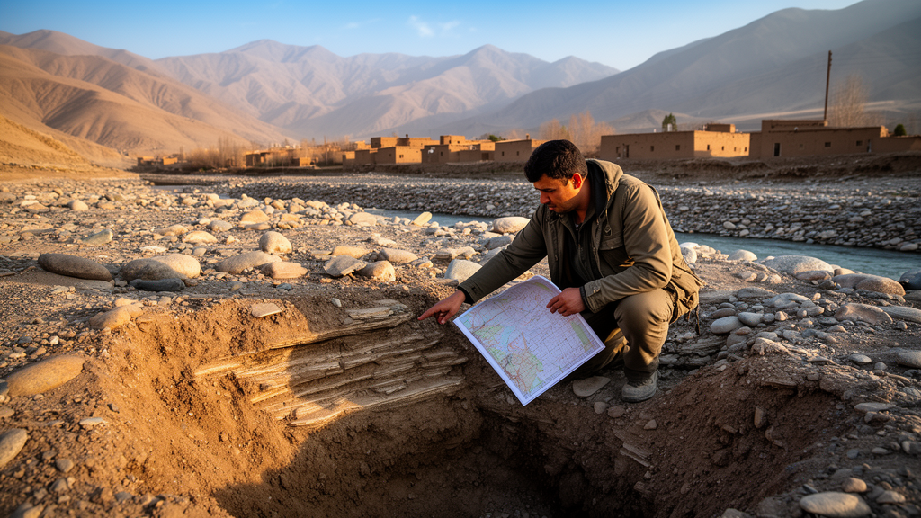
In one of the most data-scarce corners of Central Asia, researchers have produced the first comprehensive hydrogeological assessment of northern Takhar province, northeastern Afghanistan, mapping three major aquifer systems and building a conceptual model of how groundwater moves, rests, and degrades beneath the region. The study, published open access in Discover Geoscience, combines field records, borehole logs, pumping tests, and groundwater chemistry into a unified framework that had never before been applied to this part of the country.
The research team, led by Rohullah Sediqi and Abdulhalim Zaryab, worked across six administrative districts—Rustaq, Chah Ab, Dasht-e-Qala, Khowaja Char, Khwaja Bahauddin, and Yangi Qala—an area wedged between the Kokcha River and the Panj Amu River, with elevations ranging from roughly 300 to 1,400 meters above sea level. Afghanistan’s water sector has lacked a clear strategic vision for decades, and hydrogeological investigation over the past fifty years has remained fragmented, with most prior work concentrated on the Kabul basin. Prolonged conflict severely disrupted the country’s climate monitoring network around 1980, leaving continuous meteorological records difficult to reconstruct and compounding the challenge of assessing water resources in a nation now enduring its most severe drought in thirty years.
To build their picture of the subsurface, the researchers drew on data from 63 wells monitored between 2019 and 2023, largely drawn from the database of the Ministry of Rural Rehabilitation and Development’s Rural Water Supply, Sanitation, and Irrigation Program, known as Ru-WATSIP. This program has drilled wells across northern Afghanistan to improve access to safe drinking water, and in doing so generated precisely the borehole records, hydraulic head measurements, and pumping test data the study needed. The team supplemented these with a 12.5 by 12.5 meter resolution digital elevation model obtained from the Alaska Satellite Facility and processed in ArcGIS, alongside geological maps and cross-sections originally produced through field mapping campaigns by the United States Geological Survey in collaboration with the Afghanistan Geological Survey.
The analysis delineated three distinct aquifer systems in northern Takhar: the Panj Amu River Basin, the Rustaq Valley Aquifer, and the Chahab Aquifer. Each carries its own geological signature. The Panj Amu River Basin is notably heterogeneous and dominated by coarse sedimentary material—gravel and sand deposited on a relatively flat alluvial plain adjacent to the Amu River. The Chahab Aquifer and the Rustaq Valley Aquifer, by contrast, are characterized mainly by finer-grained sediments such as sand, silt, and clay. The valley deposits themselves date from the Late Pleistocene to the Holocene, bounded by Miocene and Late Cretaceous formations of conglomerate and sandstone. Because of its structural complexity and strategic importance, the Rustaq Valley Aquifer became the study’s central focus, revealing an upper unconfined unit sitting above a lower semi-confined unit separated by low-permeability clay and silt layers.
Two principal recharge mechanisms govern these aquifers. The first is mountain front recharge, which occurs along the piedmont zones of the eastern and southern highlands, where precipitation and snowmelt percolate through fractured sandstone and permeable colluvial deposits before entering the alluvial aquifer. This mechanism dominates in the Rustaq Valley and Chahab systems, as evidenced by decreasing groundwater levels and increasing total dissolved solids along the northwest flow path—a pattern consistent with water infiltrating at elevation and accumulating dissolved ions through rock-water interaction as it travels laterally. The second mechanism is river seepage, particularly significant in the Panj Amu River Basin and the northern reaches of the Rustaq Valley, where the Panj Amu River and its tributaries lose water to the underlying coarse alluvium during high-flow seasons. Groundwater seepage observed directly in riverbeds further confirmed bidirectional connectivity between surface water and groundwater in localized zones.
Tectonic structure emerged as a decisive control on groundwater behavior throughout the region. Faults act as hydraulic barriers in some locations and as conduits in others, depending on their architecture and the rock units they bring into contact. Where faults are filled with clay gouge or cemented material, they impede cross-fault flow and contribute to the compartmentalization of the upper unconfined and lower semi-confined aquifer units. The most striking example of the opposite behavior is Aqjar Spring, in Chah Ab District, which discharges between 90 and 120 liters per second from Neogene sediments. Here a tectonic fault likely serves as a preferential vertical pathway, transmitting deep, pressurized groundwater to the surface and bypassing the surrounding low-permeability matrix. Artesian conditions recorded in wells WRT-32 and ERT-30—where confined groundwater rises above the static water level—reflect the combined effect of topographic loading and structural confinement imposed by clay aquitards bounded by fault-controlled contacts.
Pumping tests quantified these differences dramatically. The unconfined aquifers of the Rustaq Valley and Panj Amu River Basin exhibited high hydraulic conductivity between 14.94 and 17.5 meters per day and transmissivity between 266.3 and 307.7 square meters per day, indicating highly productive aquifers composed of coarse alluvial materials with strong hydraulic connection to surface water. The Chahab Aquifer told a very different story: hydraulic conductivity of just 4.8 by 10 to the minus 3 meters per day and transmissivity of 0.33 square meters per day—orders of magnitude lower—typical of fine-grained clay and silt with slow flow rates and limited yield. For the semi-confined aquifer of the Rustaq Valley, identified at depths of roughly 50 to 110 meters in the northwest, drawdown data matched Hantush-Jacob type curves rather than the non-leaky Theis solution, confirming significant vertical leakage. The calculated transmissivity of 20 square meters per day points to moderate productivity, while a leakage factor of 30 meters and low aquitard hydraulic resistance of 45 days indicate that much of the water pumped from the confined layer is supplied by vertical leakage from the overlying unconfined aquifer—an active connection that intensive pumping could ultimately deplete.
Groundwater chemistry added a cautionary dimension. Samples collected from 15 wells between April and November in 2019 and 2021 were analyzed for 29 physical, chemical, and bacteriological parameters, interpreted through Gibbs and Piper diagrams alongside a groundwater quality index. Piper analysis revealed a mixed calcium-magnesium-sodium water facies with a trend toward the calcium end-member and a pronounced shift toward chloride in the anion field, suggesting chemistry governed principally by natural rock-water interactions. The Gibbs diagram showed evaporation dominance in 75 percent of samples, with rock-water interaction accounting for the remainder. The quality index classified the Panj Amu River Basin and parts of the western Rustaq Valley as good, reflecting comparatively favorable hydrochemical conditions, whereas most of the Rustaq Valley and the Chahab Aquifer fell into the poor category, and three samples in the middle of the Rustaq Valley were rated very poor. The poorest results coincided with a zone where clay layers thicken to roughly 40 meters, promoting longer residence times, ion exchange, and accumulation of dissolved solids, while wells near recharge zones close to the Panj Amu River scored highest.
Groundwater level measurements from the 63-well network, which included five artesian and four sub-artesian wells, were interpolated using inverse distance weighting, a method the authors selected after comparative analysis showed it outperformed ordinary kriging for their sparse dataset. In the Rustaq Valley and Chahab sub-basins, groundwater depths ranged from roughly 5 to 30 meters below the surface at elevations between 900 and 1,420 meters above sea level, while the lower-lying Panj Amu River Basin showed shallower depths of 10 to 20 meters. Analysis of the UOSB-CHG/CHIRPS Daily Earth Engine Dataset from 2010 to 2024 revealed a slight declining trend in mean annual precipitation across northeastern Afghanistan, from 47.6 millimeters in 2010 to 44.9 millimeters in 2024, against a backdrop of rising temperatures and increasingly frequent extreme weather events.
The authors are candid about the limitations of their work. The conceptual model rests on a spatially limited dataset, and the density of pumping test locations and water quality samples may not fully capture the heterogeneity of the aquifer basins. The absence of observation wells during pumping tests forced reliance on the Dupuit method for unconfined aquifers, an approach more sensitive to well losses and less accurate than methods that measure aquifer response at a distance. Extrapolating hydraulic parameters between wells introduces further uncertainty, the steady-state assumption may not hold under future development scenarios, and the lack of isotopic data constrains interpretations of recharge sources and groundwater age. Even so, the integrated approach—geological mapping, hydrogeological surveys, pumping tests, GIS-based modeling, and water quality assessment—has produced a foundational conceptual model that the researchers describe as a critical first step toward sustainable groundwater governance in northern Afghanistan and a replicable methodology for other data-scarce, hydrogeologically vulnerable provinces.
Subject of Research: Hydrogeological mapping and conceptual groundwater modeling in Takhar province, northeastern Afghanistan
Article Title: Hydrogeological mapping and conceptual hydrogeological modeling in Takhar, northeastern Afghanistan
Article References: Sediqi, R., Zaryab, A., & Sediqi, M. K. (2026). Hydrogeological mapping and conceptual hydrogeological modeling in Takhar, northeastern Afghanistan. Discover Geoscience, 4(1), Article 413. https://doi.org/10.1007/s44288-026-00787-w
Image Credits: AI Generated
DOI: 10.1007/s44288-026-00787-w
Keywords: hydrogeology, groundwater, Afghanistan, Takhar province, aquifer systems, conceptual hydrogeological model, pumping tests, water quality, hydrogeochemistry, Rustaq Valley, groundwater management, data-scarce regions
Cite Scienmag News
Violet Maxwell. (October 23, 2026). First Hydrogeological Map Reveals Hidden Aquifers of Northern Afghanistan. Scienmag. https://scienmag.com/first-hydrogeological-map-reveals-hidden-aquifers-of-northern-afghanistan/
Violet Maxwell. "First Hydrogeological Map Reveals Hidden Aquifers of Northern Afghanistan." Scienmag, 23 October 2026, https://scienmag.com/first-hydrogeological-map-reveals-hidden-aquifers-of-northern-afghanistan/. Accessed 23 October 2026.
Violet Maxwell. "First Hydrogeological Map Reveals Hidden Aquifers of Northern Afghanistan." Scienmag. October 23, 2026. https://scienmag.com/first-hydrogeological-map-reveals-hidden-aquifers-of-northern-afghanistan/


