


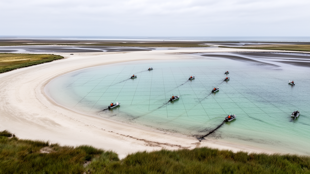
A new proof-of-concept method for calculating coastal sediment budgets at local scales produced a detailed picture of sand movement through Pierpont Bay, California, before and after the Surfer’s Point Managed Shoreline Retreat project. The analysis found that the amount of sediment transported past the protrusion declined by about 39% after the project, while longshore transport entering successive downcoast cells fell by 42% to 49%. These changes coincided with monitoring that showed sand-starved beaches, raising questions about how the project altered the interaction between the coastal protrusion, storm waves, river sediment and neighboring beaches.
The approach, called a free-grid sediment budget, or FGSB, applies the principle of mass conservation to segments of coast that need not be bounded by conventional checkpoints such as harbors, jetties, headlands or submarine canyon heads. A sediment budget quantifies sediment entering and leaving a defined coastal volume, together with storage changes and sources or sinks. Conventional applications have often required large cells, commonly tens of kilometers long, because reliable transport estimates at fixed checkpoints are needed to close the accounting. Such broad cells can conceal local patterns needed to assess individual beaches or projects. The new method instead uses dense satellite-derived shoreline observations to calculate local changes in beach volume and, when other budget components are known or estimated, back out the net longshore transport rate at the required resolution.
For a sandy beach, the method relates shoreline change to the volume of sand gained or lost, using an assumed active beach height and a quasi-equilibrium beach profile. CoastSat, an open-source tool that extracts shorelines from publicly available Landsat and Sentinel-2 imagery, supplies approximately biweekly positions at intervals of about 100 meters along the coast over more than four decades. Regression along individual transects yields shoreline change rates, while the root mean square error provides an indication of beach seasonality. The resulting volume-change estimates can be mapped through space and time. Once those changes and the estimated sediment sources and sinks are entered into the mass balance, conservation of sediment requires a corresponding distribution of longshore transport. If transport is known at one checkpoint, the method can determine how it changes elsewhere along the grid.
The proof-of-concept application covered the coast from Emma Wood Beach in the northwest to the Ventura Harbor north jetty in the south. Surfer’s Point marks the beginning of Pierpont Bay and was historically a dune-backed sandy protrusion of deltaic origin. Severe erosion near the point threatened infrastructure, prompting the 2012 retreat project. The project moved infrastructure landward, placed a buried cobble berm at the core of the point and restored the area with vegetated dunes. Storm waves later exposed and scarpped the updrift cobble berm, producing a steep, quasi-stationary cobble foreshore that was broadly normal to the incident storm waves. The study compared satellite shoreline rates from January 2000 through June 2012, representing pre-project conditions, with data from July 2012 through January 2026, representing post-project conditions.
Ventura Harbor was the only checkpoint used for the budget. For the pre-project interval, the authors used a harbor-wide average dredging rate of 458,000 cubic meters per year to estimate the local trap-dredging rate. For the post-project interval, they used the average dredging rate during the five most recent years rather than the full period, allowing the free-grid budget to represent changing present conditions. The pre-project shoreline trends agreed well with historical United States Geological Survey surveys. Other components were assembled from survey records and empirical estimates: Ventura River sand delivery came from historical stream measurements, aeolian losses from a modified Bagnold formulation, offshore storm losses from bathymetric changes seaward of closure depth, and sea-level-rise losses from the Bruun rule. Components without post-project data were assumed to remain similar because their driving conditions were considered comparable.
The pre-project transport estimate provided a check on the method. Balancing the budget yielded a longshore transport rate of 280,000 cubic meters per year at Emma Wood Beach. That result was close to the 260,000 cubic meters per year averaged by a Deltares and USGS Delft3D model for the Santa Barbara littoral cell, and it was consistent with 246,000 cubic meters per year inferred from long-term Santa Barbara Harbor dredging and placement volumes for 1933–2007. These comparisons supported the pre-project budget, although the researchers did not attempt a formal method-level uncertainty analysis. They described a broad uncertainty range on the order of 0.1 times the smallest major budget component and stated that a statistical framework for propagating uncertainty would be a priority for future work.
Comparison of the two periods showed a 36% reduction in Ventura Harbor dredging. The free-grid accounting associated that change with a net deficit of roughly 175,000 cubic meters per year, equivalent to an approximately 39% decline in sand bypassing at Surfer’s Point into the first cell of Pierpont Bay. Bypassing at the point also represented transport across the Ventura River mouth. The river cell itself recorded a substantial post-project gain of 118,000 cubic meters per year, including an unknown quantity lost offshore, compared with a loss of 57,000 cubic meters per year before the project. In the rest of the bay, transport entering cells 2 through 5 fell by 45%, 49%, 46% and 42%, respectively. Beach monitoring downcoast from Surfer’s Point showed sand starvation, providing an observed condition consistent with the transport deficit identified by the budget.
The study did not establish a single measured cause for the lower transport. Regional sediment supply at Santa Barbara Harbor was nearly unchanged between the two periods, at 211,000 cubic meters per year in 2000–2012 and 209,000 cubic meters per year in 2012–2022, while shoreline conditions at Emma Wood Beach also remained broadly stable. Major Ventura River discharge patterns were similar before and after 2012, so those factors were excluded as dominant explanations. Nearshore storminess increased substantially during 2012–2026, and harbor shoaling decreased, a pattern consistent with a sediment deficit. The authors said this gave reason to examine whether the project had prevented Surfer’s Point from naturally eroding and evolving in response to storms and littoral and fluvial conditions, thereby changing how the protrusion interacted with surrounding sediment processes.
The method has clear limits. A cell lacking shoreline observations or other surveys requires longshore transport to be estimated separately through observations, empirical formulas or modeling. At sites without repeated cross-shore surveys, offshore losses or volume changes under severe sand-starvation conditions may also need to be estimated with models. Broad assumptions used for some budget components require uncertainty assessment, and the present proof of concept covered only one site. The authors emphasize that any modeling needed to fill these gaps should be no more elaborate than the overall accuracy of the budget. Future priorities include worldwide validation across different geologies, hydrodynamics and human alterations, a formal statistical uncertainty framework, a continuously rebalancing system driven by time-dependent shoreline data and exploration of the method in data-poor regions.
Despite those constraints, the Pierpont Bay analysis demonstrates how a free-grid budget can reveal transport patterns that conventional cell-wide estimates may obscure. By tying local satellite-derived shoreline changes to river delivery, dredging, erosion, offshore losses and other components, the approach produced a spatially detailed account of sediment bypassing at a coastal protrusion and river mouth. It also linked a major shoreline intervention to substantially lower transport through neighboring cells, without claiming that the method alone proved causation. The result is a potentially faster way to assess local sediment conditions and project effects where comprehensive morphological modeling is unavailable, while leaving the need for broader validation and explicit uncertainty analysis clearly visible.
Subject of Research: Local-scale coastal sediment budgets for estimating longshore transport and sand bypassing around shoreline modifications.
Article Title: Free-grid sediment budget and resultant longshore transport and bypassing at arbitrary local scales
Article References: Chan, M. C. (2026). Free-grid sediment budget and resultant longshore transport and bypassing at arbitrary local scales. Results in Engineering, 32, Article 113524. https://doi.org/10.1016/j.rineng.2026.113524
Image Credits: AI Generated
DOI: 10.1016/j.rineng.2026.113524
Keywords: coastal erosion, sediment budget, longshore transport, sand bypassing, shoreline change, Pierpont Bay, Surfer’s Point, satellite shorelines, Ventura Harbor, coastal management, Free-grid, sediment
Cite Scienmag News
Violet Maxwell. (October 22, 2026). Free-grid sediment budget traces sand starvation across Pierpont Bay. Scienmag. https://scienmag.com/free-grid-sediment-budget-traces-sand-starvation-across-pierpont-bay/
Violet Maxwell. "Free-grid sediment budget traces sand starvation across Pierpont Bay." Scienmag, 22 October 2026, https://scienmag.com/free-grid-sediment-budget-traces-sand-starvation-across-pierpont-bay/. Accessed 22 October 2026.
Violet Maxwell. "Free-grid sediment budget traces sand starvation across Pierpont Bay." Scienmag. October 22, 2026. https://scienmag.com/free-grid-sediment-budget-traces-sand-starvation-across-pierpont-bay/


