


A national occurrence dataset for Latvia has been assembled as a documented input for presence-only habitat suitability modelling and subsequent conservation planning. The data paper reports 162,186 expert-verified, spatially filtered observations for 464 taxa, alongside criteria for selecting modelling species, a guide to possible location errors and suggested environmental predictors. It presents prepared data and a methodological framework rather than completed habitat suitability models or evidence of improved conservation outcomes.
The work forms part of HiQBioDiv, “High-resolution quantification of biodiversity for conservation and management,” funded by Latvia’s Ministry of Smart Administration and Regional Development. The broader project is intended to develop nationwide models for European Union-protected taxa with unfavourable or unknown conservation status, as well as habitat specialists, indicator species and umbrella species. Its stated downstream applications include producing spatially explicit biodiversity layers, prioritising sites and assessing possible additions to the national protected-area network; these remain objectives of the wider project design.
The published package contains five related datasets. SpeciesList records the criteria used to consider taxa for modelling, while Nomenclature reconciles scientific names and, where available, common names across taxonomic groups and conservation lists. Observations contains the filtered occurrence records, FilteringGuide identifies land-cover classes that may indicate location errors for particular species, and EGVtable specifies candidate ecogeographical variables and their spatial scales. A shared combination of taxonomic group, assigned taxon number, scientific name and species code allows the tables to be filtered and cross-referenced.
Candidate species were drawn from nationwide taxonomic lists and from conservation-oriented groups that included protected, endangered, typical, indicator and umbrella species. Selection also depended on practical modelling constraints. Each candidate needed at least 20 expert-validated observations from 2016–2024 before spatial filtering, and taxa that could not be identified confidently from photographs were excluded. Expert judgement was used to avoid expansive, invasive, non-native, synanthropic, ecologically plastic and taxonomically difficult species whose models were considered unlikely to provide robust or conservation-relevant estimates.
Occurrence records came from the Dabasdati citizen-science portal, the governmental OZOLS nature-data system, PlutoF, the Institute of Plant Protection Research’s Agrihorts collection, several LIFE projects and personal expert databases. Taxonomic-group experts checked identifications where photographs, video or sound recordings were available and screened records for obvious coordinate errors. Records from Dabasdati or OZOLS without photographs were retained only when the observer was also an expert in the relevant taxonomic group.
Each observation retains its source identifier and a three-level relative reliability category—citizen science, expert/research or mixed. Temporal and abundance information are included when available; otherwise, a single observed individual is assumed. Coordinates are expressed in EPSG:3059, the LKS-92/Latvia TM coordinate system, and rounded to species-specific 100-, 1,000- or 5,000-metre grid-cell centres to avoid revealing sensitive locations. Only the last known observation in each grid cell is retained. Under national rules on restricted information, occurrence data for 10 taxa are omitted from the public observation file, including all bat species and the orchid Cypripedium calceolus. The rules also determine the resolutions at which observations and model projections may be published.
The FilteringGuide compares observation positions with broad Corine Land Cover classes representing built-up areas, open landscapes, tree-covered areas, wetlands and water. Coastal-dune species receive an additional check using Latvia’s exclusive economic zone and Baltic Sea coastline files. An observation in a class marked unsuitable for its species is flagged as a potential location error rather than automatically treated as invalid. The guide also records whether land-use and land-cover change analysis has been completed and which landscape classes require assessment.
For observations dated 2016–2024, the authors calculated accumulated environmental change from the year of observation through 2024. The analysis used the 30-metre Global Forest Watch v1.12 tree-cover-loss layer and annual Dynamic World land-cover classifications derived from Sentinel-2 images with cloudiness no greater than 35%. Change was aggregated at the 100-metre analysis-cell level and within landscape radii of 500, 1,250, 3,000 and 10,000 metres. Observations from 2000–2015 and 2025 were included for rare or protected species with very limited records, but these records do not contain the corresponding environmental-change calculations.
The EGV table draws on 538 candidate variables at 100-metre resolution, covering climate, hydrology, terrain, soil, Earth-observation products, landscape diversity and composition, agriculture, forestry, distance to landscape features and other land-cover classes. Species-specific selections use the 100-metre cell, an expert-estimated home-range scale and the next larger landscape scale. The framework seeks to avoid duplicating equivalent information across scales, reduce multicollinearity and spatial autocorrelation, and retain biologically interpretable gradients. For example, forest-dwelling species may use forest age and timber volume at 100 metres, broader age-class proportions at home-range scale and increasingly general forest-cover measures at landscape scale. The publication provides candidate inputs, not fitted coefficients or predicted distributions, and does not evaluate model performance, predictive accuracy or the consequences of using the data in protected-area decisions.
Subject of Research: Preparation of species occurrence data and environmental predictors for habitat suitability modelling in Latvia
Article Title: Occurrence data for habitat suitability modelling to support conservation planning in Latvia: species list, observations and ecogeographical variable selection
Article References: Starka, R., Rūsiņa, S., Auniņa, L., Balalaikins, M., Butkeviča, J., Cera, I., Čakstiņa, D., Čeirāns, A., Gailis, J., Liepiņa, L., Leimanis, I., Mežaka, A., Moisejevs, R., Ozols, J., Pilāte, D., Priedniece, I., Riters, R., Rubene, B., Strazdiņa, L., … Avotiņš, A. (2026). Occurrence data for habitat suitability modelling to support conservation planning in Latvia: species list, observations and ecogeographical variable selection. Biodiversity Data Journal, 14, Article e194577. https://doi.org/10.3897/bdj.14.e194577
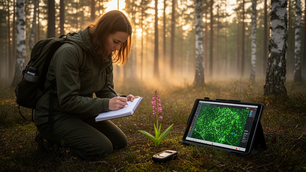
Image Credits: AI Generated
Keywords: Latvia, habitat suitability modelling, species occurrences, biodiversity data, conservation planning, citizen science, ecogeographical variables, spatial filtering, data paper, Occurrence, data, habitat
Cite Scienmag News
Margaret Porter. (October 20, 2026). Latvia data paper documents inputs for national habitat suitability modelling. Scienmag. https://scienmag.com/latvia-data-paper-documents-inputs-for-national-habitat-suitability-modelling/
Margaret Porter. "Latvia data paper documents inputs for national habitat suitability modelling." Scienmag, 20 October 2026, https://scienmag.com/latvia-data-paper-documents-inputs-for-national-habitat-suitability-modelling/. Accessed 20 October 2026.
Margaret Porter. "Latvia data paper documents inputs for national habitat suitability modelling." Scienmag. October 20, 2026. https://scienmag.com/latvia-data-paper-documents-inputs-for-national-habitat-suitability-modelling/


