


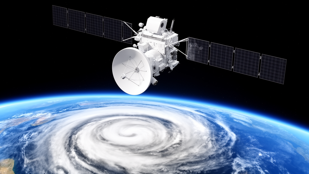
Later this year, China plans to launch a satellite that will do something no spacecraft has ever done before: stare continuously at Earth’s weather from geostationary orbit while measuring it with passive microwave instruments. The FengYun-4M, or FY-4M, will carry a microwave sounder with 135 channels, and a team of Chinese researchers has now built the prototype algorithm that will turn those raw measurements into three-dimensional maps of atmospheric temperature over the ocean, even through clouds and rain. Their work, published in the journal Atmospheric Measurement Techniques, shows that a carefully pruned subset of channels can retrieve temperature profiles with errors below half a Kelvin in clear and cloudy skies, while cutting computing time by 14 percent compared with using every channel at once.
The significance of the mission lies in its vantage point. Existing microwave temperature sounders, such as the Advanced Technology Microwave Sounder on American polar-orbiting satellites or China’s MWTS-2 on the FengYun-3 series, ride satellites circling at altitudes of 400 to 800 kilometers. That geometry gives them global coverage but limits them to sampling any given region roughly twice a day. For rapidly evolving weather like typhoons and severe convective storms, twice-daily snapshots are simply not enough. A geostationary satellite, parked 36,000 kilometers above a fixed point on the equator, can revisit the same scene every few minutes. The FY-4M sounder’s minimum observation interval is approximately three minutes, which means the instrument will generate an enormous stream of data that operational algorithms must process in near real time.
That speed requirement is precisely why the channel count matters. More channels generally mean more information, but they also mean more computational cost, more accumulation of instrument noise, and more redundancy, since certain subsets of the 135 channels measure nearly the same thing. The research team, led by Yu Wang and Xinbin Ma of the University of Science and Technology of China together with colleagues at the National Satellite Meteorological Center, tackled this problem with information theory. Their approach quantifies how much each channel reduces the uncertainty in the temperature profile, using a metric called degrees of freedom for signal, or DFS, which is derived from the Jacobian matrix that describes each channel’s sensitivity to temperature at different altitudes.
The physics behind the measurement is elegant. Microwave sounders exploit the oxygen absorption bands, primarily near 50 to 60 GHz and at 118 GHz, where the absorption coefficient depends on atmospheric temperature. Channels close to the center of an absorption line have large optical depths, so radiation from the lower atmosphere and the surface is strongly attenuated and these channels mainly detect radiation from higher layers. Channels farther from the line center see deeper into the atmosphere. By combining channels across this range, a sounder can reconstruct the vertical temperature structure layer by layer. The FY-4M adds something new: 89 hyperspectral channels in the 52.6 to 57.3 GHz band, with spectral resolutions as fine as 30 MHz, plus high-frequency channels at 380 and 424 GHz that have never flown on a spaceborne instrument before.
To rank the channels, the team first needed a realistic picture of what the atmosphere looks like in all weather. They built an a priori database from roughly 200 million collocated oceanic samples covering the full FY-4M field of view, combining the European Centre for Medium-Range Weather Forecasts ERA5 reanalysis for temperature, humidity, pressure, sea surface temperature and wind, with hydrometeor profiles from the Global Precipitation Measurement mission’s GMI radiometer and its GPROF retrieval product. A one-dimensional variational adjustment made the hydrometeor profiles physically consistent with the observed brightness temperatures. The team then simulated FY-4M brightness temperatures for every sample using a fast plane-parallel microwave radiative transfer model, with satellite zenith angles ranging from 0 to nearly 80 degrees across the disk.
The ranking results contained a surprise. Without the hyperspectral channels, the traditional oxygen absorption bands at 50 and 118 GHz dominate the temperature information, as expected from decades of sounding experience. But once the hyperspectral band is treated as a single high-priority super-channel, the picture flips. The hyperspectral channels prove capable of capturing the primary vertical temperature information on their own, so the most valuable complementary channels become water vapor absorption channels at 23, 183 and 380 GHz and window channels at 31, 89, 166 and 229 GHz, which constrain humidity, near-surface conditions and hydrometeors. Water vapor absorption depends on temperature as well, so these channels carry temperature information indirectly. One window channel at 89 GHz saw its information contribution collapse to nearly zero in rainy conditions, because its short wavelength cannot penetrate optically thick precipitating clouds and its liquid water signal saturates.
From these rankings, the researchers extracted channel subsets contributing the top 90 and 95 percent of the total joint information for clear, cloudy and precipitating conditions, then took the union to build all-weather configurations. The recommended scheme, called AC95, includes the entire hyperspectral band along with selected water vapor and window channels. Retrieval experiments using an independent test set of 100,000 samples per weather regime showed that the root mean square error of the AC95 configuration stays below 0.5 K in clear and cloudy skies and within 0.8 K during precipitation. For comparison, validation of the operational FengYun-3E sounding product against radiosondes has reported temperature errors above 3 K under all-sky conditions, although the team cautions that their simulation-based figures may be optimistic because the plane-parallel model cannot fully represent three-dimensional scattering by precipitation.
The algorithm itself is Bayesian. Rather than solving radiative transfer equations iteratively, it searches the a priori database for atmospheric states whose simulated brightness temperatures best match the observation, weights each candidate by its conditional probability under a Gaussian error model, and returns the probability-weighted average temperature profile. This combines the physical interpretability of retrieval with the computational efficiency of a statistical lookup, which is essential when the satellite delivers a new full-disk scan every few minutes. The team also added Gaussian noise with a standard deviation of 0.5 K to the simulated brightness temperatures to represent instrumental noise realistically.
The most dramatic validation came from a case study of Typhoon Doksuri on 25 July 2023. The researchers simulated the typhoon’s atmospheric fields with the Weather Research and Forecasting model, generated the corresponding FY-4M brightness temperatures, and ran the retrieval. The algorithm reproduced the main spatial temperature patterns at pressure levels of 850, 500 and 250 hPa, and clearly captured the typhoon’s warm-core structure near the center, along with the surrounding horizontal temperature gradients. Even under these extreme convective conditions, retrieval errors remained below 1 K at most vertical levels for the configurations that included the hyperspectral channels.
The work is a prototype, and the authors are explicit about its limits. The study covers only ocean, where microwave surface emissivity is homogeneous and calculable; land surfaces, whose emissivity varies complexly with frequency and viewing angle, remain a challenge for future work. The team also treated the hyperspectral band as a single unit, deferring the question of which individual hyperspectral channels matter most. Still, the framework is extendable: the same Bayesian technique with similar channel optimization can be applied to humidity and hydrometeor profiles, building toward a complete operational system. When FY-4M reaches its orbital slot at 123.5 degrees east, forecasters will gain a continuous, all-weather, three-dimensional thermometer over the western Pacific and beyond, and this algorithm is designed to be the engine that converts its flood of microwave data into forecasts people can use.
Subject of Research: FY-4M satellite temperature profile retrieval algorithm
Article Title: A prototype algorithm for all-sky atmospheric temperature profile retrieval over ocean based on channel optimization for the FY-4M satellite
Article References: Wang, Y., Ma, X., Wu, B., Guo, Q., Xi, J., Li, R., Wang, X., & Li, X. (2026). A prototype algorithm for all-sky atmospheric temperature profile retrieval over ocean based on channel optimization for the FY-4M satellite. Atmospheric Measurement Techniques, 19(20), 6553-6569. https://doi.org/10.5194/amt-19-6553-2026
Image Credits: AI Generated
Keywords: FY-4M, FengYun-4M, passive microwave remote sensing, atmospheric temperature profile, channel optimization, information content analysis, Bayesian retrieval, geostationary satellite, typhoon observation, Atmospheric Measurement Techniques, prototype, algorithm
Cite Scienmag News
Russell Cooper. (October 19, 2026). China’s FY-4M satellite will scan storms from orbit with 135 microwave channels. Scienmag. https://scienmag.com/chinas-fy-4m-satellite-will-scan-storms-from-orbit-with-135-microwave-channels/
Russell Cooper. "China’s FY-4M satellite will scan storms from orbit with 135 microwave channels." Scienmag, 19 October 2026, https://scienmag.com/chinas-fy-4m-satellite-will-scan-storms-from-orbit-with-135-microwave-channels/. Accessed 19 October 2026.
Russell Cooper. "China’s FY-4M satellite will scan storms from orbit with 135 microwave channels." Scienmag. October 19, 2026. https://scienmag.com/chinas-fy-4m-satellite-will-scan-storms-from-orbit-with-135-microwave-channels/


