


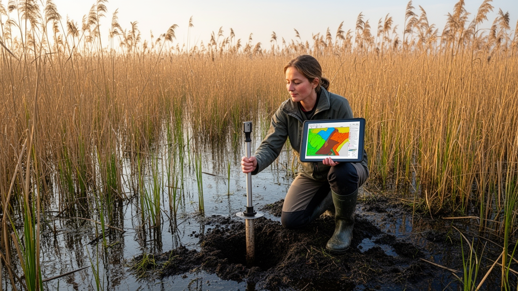
For decades, ecologists trying to map where a plant species can live have leaned heavily on climate. Temperature and precipitation grids are easy to obtain, globally consistent, and biologically meaningful, which is why climate-only species distribution models have become the workhorse of biogeography and conservation planning. But a new study of the common reed, Phragmites australis, one of the world’s most widespread wetland plants, shows just how much those maps can miss when the ground beneath the vegetation is ignored. By adding soil properties to climate variables, researchers led by Peng Zhang and Yanjing Lou of the Northeast Institute of Geography and Agroecology at the Chinese Academy of Sciences dramatically improved the statistical performance of distribution models for reed marshes, and in doing so shrank the predicted footprint of suitable habitat by as much as 55 percent.
The study, published in Environmental Monitoring and Assessment, set out to answer a deceptively simple question: how much does the edaphic dimension, the physical and chemical character of the soil, actually contribute to predicting where wetland vegetation occurs? Soil properties have long been known to influence wetland plant distribution, but the degree to which adding soil variables can improve climate-only models has remained unclear, particularly for dominant wetland species whose ranges are often assumed to be set by temperature and water availability alone. The researchers built species distribution models, statistical frameworks that relate known occurrence records to environmental layers, and compared two versions: one driven purely by climatic predictors, and one that combined climate with a suite of soil properties.
The results were unambiguous. Including soil predictors significantly improved model performance compared with climate-only models. The true skill statistic, a widely used accuracy measure that corrects for the prevalence of a species in the training data, rose by 21.07 percent on average, a difference the authors confirmed with Student’s t-tests that yielded a t value of 24.364 and a probability well below 0.01. The area under the receiver operating characteristic curve, or AUC, the other standard yardstick of model discrimination, increased by 8.51 percent, with a t value of 27.209 and the same high level of statistical significance. In the competitive world of distribution modeling, where gains of a few percentage points are often celebrated, improvements of this magnitude are striking.
Even more revealing was the balance of predictive power between the two families of variables. On average, soil predictors contributed 57.9 percent of the explanatory weight in the combined models, while climate predictors accounted for 42.1 percent. In other words, for a plant whose fate is often discussed almost exclusively in terms of warming temperatures and shifting rainfall, the ground itself turned out to be the stronger signal. Three variables stood out as crucial: the topographic wetness index, a terrain-derived measure of how much moisture accumulates at a location based on slope and upslope catchment area; soil pH, which governs nutrient availability and metal toxicity; and soil organic carbon, a key indicator of fertility, water-holding capacity, and the carbon stored in wetland sediments.
The prominence of the topographic wetness index makes particular ecological sense for a wetland species. Phragmites australis, the tall grass that lines lakes, rivers, and coastal marshes across most of the globe, depends on saturated or periodically flooded ground, and the wetness index captures exactly the landscape positions where water gathers and persists. Recent methodological work has shown that the index’s accuracy as a soil moisture proxy depends on the flow-routing algorithm and grid resolution used to compute it, but its value as a first-order descriptor of moisture regimes is well established. For reed marshes, which can retreat or expand dramatically as water levels fluctuate, this terrain-based moisture signal appears to carry information that climate averages simply cannot.
Soil pH and soil organic carbon tell a complementary story. Plant responses to pH are well documented across ecosystems, from boreal forests to blueberry orchards, and studies have shown that soil pH limits can determine the range size and threat level of forest vascular plants. In wetlands, pH interacts with salinity, redox chemistry, and nutrient cycling, all of which shape which species can establish and persist. Soil organic carbon, meanwhile, is both a consequence and a cause of wetland vegetation: reeds build carbon-rich soils, and those soils in turn buffer water availability and supply nutrients. Previous research on Amazonian plants, mountain grasslands, and terricolous macrofungi has repeatedly found that soil data sharpen distribution predictions, and the new study extends that lesson to a cosmopolitan wetland dominant.
Perhaps the most consequential finding, however, is what happens to the maps themselves. When soil properties were added, the predicted suitable areas for reed marshes shrank by 23.94 to 55.13 percent relative to the areas identified by climate-only models. That is not a marginal adjustment; it is a wholesale redrawing of where the species is expected to thrive. Climate-only models, the study suggests, systematically overestimate the extent of suitable habitat by painting broad climatic envelopes that ignore the edaphic filters that actually constrain establishment. A region may have the right temperature and rainfall on paper, but if the soil is too acidic, too infertile, or too dry at the root zone, the reeds will not follow.
This overestimation has real implications for conservation and restoration planning under environmental change. The authors argue that soil properties may constrain the potential range expansion of wetland plants, highlighting the necessity of incorporating these properties into models that predict wetland plant distributions under shifting conditions. If climate-only projections are used to prioritize areas for wetland protection or to anticipate where reed marshes, and the carbon they store, might expand or vanish, the resulting strategies could be aimed at the wrong places. Conversely, soil-informed models could identify refugia that climate models overlook, patches where favorable soil chemistry and moisture regimes will sustain marshes even as the regional climate warms.
The study also connects to a broader and rapidly growing literature on the limits of climate-only biogeography. Researchers working on European plants have found that many species have limited capacity to track climate change, and modeling work has shown that soil properties can constrain predicted poleward migration under warming. Other studies have demonstrated that disregarding the edaphic dimension leads to the omission of crucial spatial information under climate change scenarios, and that pedology and plant provenance together can improve predictions across thousands of species at continental scales. The message accumulating across these independent lines of evidence is consistent: the soil is not a passive backdrop but an active determinant of where plants can go as the climate changes.
For the common reed specifically, the stakes are unusually high. The species is simultaneously a keystone engineer of marsh ecosystems, a major contributor to wetland carbon storage, a resource for biofuel and construction materials, and, in some regions, a aggressive invader whose spread is shaped by disturbance, hydrology, and genetic lineage. Accurate maps of its suitable habitat therefore matter for carbon accounting, flood regulation, biodiversity conservation, and invasion management alike. By demonstrating that soil variables carry more than half the predictive weight and can cut projected suitable area by more than half, the study delivers a clear directive to the modeling community: climate sets the stage, but the soil decides who performs. As wetlands face intensifying pressure from drainage, salinization, and warming, models that see below the surface will be essential for anticipating what the marshes of the future will look like, and where.
Subject of Research: Improving species distribution models for Phragmites australis marshes by incorporating soil properties alongside climatic variables
Article Title: Improving the prediction of Phragmites australis marsh distribution by adding edaphic properties to climatic variables
Article References: Zhang, P., Bao, A., Jin, X., Jiang, Y., & Lou, Y. (2026). Improving the prediction of Phragmites australis marsh distribution by adding edaphic properties to climatic variables. Environmental Monitoring and Assessment, 198(9), Article 1015. https://doi.org/10.1007/s10661-026-15880-3
Image Credits: AI Generated
DOI: 10.1007/s10661-026-15880-3
Keywords: Phragmites australis, species distribution models, soil properties, edaphic variables, wetland vegetation, topographic wetness index, soil pH, soil organic carbon, climate change, marsh distribution, predictive modeling, Environmental Monitoring and Assessment
Cite Scienmag News
Violet Maxwell. (October 19, 2026). Soil Data Slashes Climate-Only Maps of Common Reed Marshes. Scienmag. https://scienmag.com/soil-data-slashes-climate-only-maps-of-common-reed-marshes/
Violet Maxwell. "Soil Data Slashes Climate-Only Maps of Common Reed Marshes." Scienmag, 19 October 2026, https://scienmag.com/soil-data-slashes-climate-only-maps-of-common-reed-marshes/. Accessed 19 October 2026.
Violet Maxwell. "Soil Data Slashes Climate-Only Maps of Common Reed Marshes." Scienmag. October 19, 2026. https://scienmag.com/soil-data-slashes-climate-only-maps-of-common-reed-marshes/


