


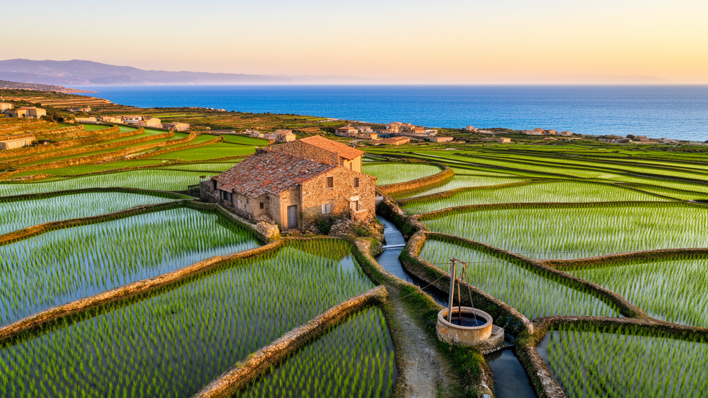
On the sun-baked coast of southeastern Sardinia, a silent crisis is unfolding beneath the citrus groves and rice paddies of the Muravera Plain. Sea water is creeping inland through the aquifer, poisoning the groundwater that supplies drinking water and irrigation to thousands of people. Now, a team of hydrogeologists has built one of the most detailed computer models ever attempted for a Mediterranean coastal aquifer, and their findings reveal a surprising culprit: rice fields, not city taps, are the main driver of the salt invasion.
The research, published in the Hydrogeology Journal, reconstructs twenty-five years of salinization history from 1999 to 2023 and projects the aquifer’s fate to 2050. Led by M. C. Porru of the University of Cagliari in collaboration with Deltares and Utrecht University in the Netherlands, the study couples two sophisticated modelling codes: the USGS Soil-Water-Balance code, which calculates how much rainwater actually percolates down to the water table, and iMOD-WQ, which simulates variable-density groundwater flow and salt transport using the SEAWAT engine. This coupling explicitly captures the temporal and spatial variability of recharge, something often oversimplified in other approaches.
The technical achievement is considerable. The model domain covers 35 square kilometres, voxelized into 45 layers with a minimum thickness of 0.5 metres between +5 and −5 metres above sea level, specifically designed to capture the delicate transition from fresh to brackish water. A 100-year spin-up time allowed the model to reach a dynamically stable initial state before the historical simulation began. Five geological layers, each assigned representative hydraulic conductivities derived from decades of field measurements, represent the aquifer’s complex multilayer structure of Quaternary sands and gravels interspersed with silty-clayey lenses.
What makes the model so powerful is its grounding in real field data. Historical piezometric heads and electrical conductivity measurements from 1995 and 1999 established the initial conditions, while a comprehensive monthly monitoring program conducted between 2020 and 2021 validated the outputs. Electrical conductivity logs were performed at seven strategically placed observation wells, providing detailed vertical profiles of groundwater salinity, and shallow measurements were taken in 95 wells scattered throughout the study area. The validation statistics are impressive: a root mean square error of just 0.36 metres for piezometric head and a Kling-Gupta efficiency of 0.95.
The results paint a stark picture of an aquifer under siege. Saltwater intrusion now extends inland for about 3.5 kilometres from the coastline at depths below −40 metres. Between 1999 and 2023, the saline interface advanced inland by over 600 metres, with the high-salinity core shifting 350 metres landward. The total chloride mass in storage reached 2.87 × 10⁸ kilograms in 2023 and is projected to rise to 3.91 × 10⁸ kilograms by 2050 under unchanged conditions. The 5 g/L isochlor, which marks the boundary of brackish water, has risen from below −10 metres in 1999 to nearly the surface in the central portion of the plain by 2050.
But here is where the story takes an unexpected turn. When the researchers ran scenarios removing different types of groundwater withdrawals, they discovered a striking decoupling between hydraulic head recovery and saltwater intrusion mitigation. Eliminating drinking-water withdrawals, which account for approximately 2.78 million cubic metres per year, produced almost no observable deviation in salinization trends. The reason? These wells sit so close to the Flumendosa River that they primarily intercept surface water through induced leakage rather than depleting the aquifer itself.
In contrast, removing rice-field irrigation withdrawals, which represent only about 1 million cubic metres per year, led to a measurable decrease in cumulative solute mass inflow from 3.91 × 10⁸ to 3.24 × 10⁸ kilograms, a net reduction of roughly 17 percent. The explanation lies in location and timing. Rice irrigation wells sit closer to the coast and far from the river, directly stressing the freshwater-saltwater interface with no buffering from river recharge. Moreover, irrigation pumping is concentrated during the summer months, precisely when rainfall is absent and the aquifer is most vulnerable. The model even captured a seasonal upconing phenomenon, where the salt wedge is drawn upward by pumping activities, persisting from April through September across all simulated years.
Perhaps the most encouraging finding is that management already works. When abstraction rates for rice irrigation were reduced from 130 to 70 litres per second in 2018, the model showed a clear stabilization in the landward and upward migration of the isochlors. This 46 percent reduction in pumping effectively mitigated the acceleration of saltwater intrusion, even though the period from 2020 to 2023 was characterized by lower meteoric recharge than the preceding years. The fact that the saline front remained stable despite decreased freshwater input underscores the primary role of abstraction management in controlling salt-wedge dynamics.
The study also tested a mitigation scenario combining increased Flumendosa River stages with a 50 percent reduction in rice-field irrigation withdrawals from 2024 to 2050. The results were dramatic: a 25.6 percent reduction in solute mass compared to the baseline, with the 5 g/L isochlor displaced from approximately −20 metres to nearly −50 metres in some sections. The river network acts less as a drainage sink and more as a hydraulic barrier supporting seaward groundwater gradients, effectively flushing the aquifer and limiting the persistence of salinity plumes.
For the 501 coastal cities worldwide that have reported saltwater intrusion, the Muravera model offers a blueprint. The research demonstrates that sustainable groundwater management in coastal areas requires not just reducing total abstraction, but strategically targeting the withdrawals that directly stress the freshwater-saltwater interface. As climate change brings longer droughts and rising seas, the lessons from this small Sardinian plain could not be more timely. The aquifer’s chemical stability, the researchers conclude, is highly dependent on extreme precipitation events, which are insufficient to counteract the long-term landward migration of the saline wedge. Only targeted, science-based management can restore the balance between human water use and the environmental needs of these fragile coastal systems.
Subject of Research: Hydrogeology
Article Title: Sustainable groundwater management in coastal areas: Modelling saltwater intrusion dynamics in Muravera, Italy
Article References: Porru, M. C., Davids, T., Arras, C., Essink, G. H. P. O., Piscedda, F. A., & Da Pelo, S. (2026). Sustainable groundwater management in coastal areas: Modelling saltwater intrusion dynamics in Muravera, Italy. Hydrogeology Journal. https://doi.org/10.1007/s10040-026-03179-z
Image Credits: AI Generated
DOI: 10.1007/s10040-026-03179-z
Keywords: saltwater intrusion, coastal aquifer, groundwater management, Sardinia, variable-density flow, SEAWAT, iMOD-WQ, numerical modelling, salinization, rice irrigation, Sustainable, groundwater
Cite Scienmag News
Alan Morgan. (October 17, 2026). Rice fields are quietly poisoning Sardinia’s drinking water with sea salt. Scienmag. https://scienmag.com/rice-fields-are-quietly-poisoning-sardinias-drinking-water-with-sea-salt/
Alan Morgan. "Rice fields are quietly poisoning Sardinia’s drinking water with sea salt." Scienmag, 17 October 2026, https://scienmag.com/rice-fields-are-quietly-poisoning-sardinias-drinking-water-with-sea-salt/. Accessed 17 October 2026.
Alan Morgan. "Rice fields are quietly poisoning Sardinia’s drinking water with sea salt." Scienmag. October 17, 2026. https://scienmag.com/rice-fields-are-quietly-poisoning-sardinias-drinking-water-with-sea-salt/


