


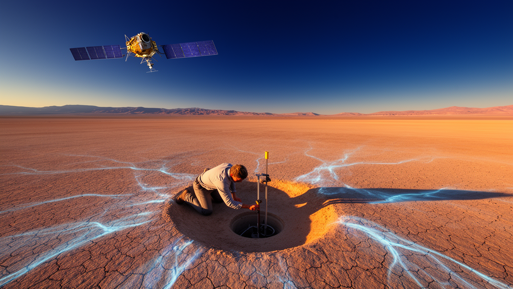
Deep beneath the surface of Nevada, a municipal aquifer is quietly giving up secrets that were once locked away in rock. In a study published in Geophysical Research Letters, researchers at The University of Texas at Austin have demonstrated a way to map how easily water flows through underground rock formations using nothing more than satellite observations and sophisticated statistical modeling. The approach could transform how water managers around the world understand and protect the aquifers that supply drinking water and sustain agriculture, and it comes at a price that is hard to beat: essentially free.
The problem the researchers set out to solve is one of the most consequential in modern water science. Across much of the United States and around the globe, groundwater is being pumped out faster than nature can refill the underground reservoirs that hold it. In the most severe cases, this imbalance can push an aquifer to a point of no return, where its physical structure collapses and it can never be refilled. Once that happens, the water storage capacity is lost permanently, along with the agricultural and municipal supplies that depended on it. Preventing such outcomes requires knowing precisely how water moves through the subsurface, and that knowledge has traditionally been expensive and difficult to obtain.
The key to the new method lies in a subtle physical phenomenon that most people would never notice. When water is pumped out of an aquifer, the pressure underground changes, and the ground above can sink by a few millimeters to a few centimeters over the course of months. This gentle subsidence is not just a side effect of pumping; it is a signal. According to the study’s lead author Amal Alghamdi, who conducted the research while earning a doctorate at UT’s Oden Institute for Computational Engineering and Sciences, the sinking of the ground contains information about the geology hidden below the surface. The exciting question, she explained, was how much researchers could work backward from that surface response to learn about what cannot be directly seen underground.
To answer that question, the team turned to publicly available InSAR satellite data, a remote sensing technique that measures ground deformation with remarkable precision from orbit. They combined these observations with a statistical method based on a Bayesian inference algorithm developed by co-author Professor Omar Ghattas’ research group at the Oden Institute. The Bayesian framework allowed the researchers to invert the deformation data, essentially running the physics backward in time, to produce a three-dimensional model of how water is likely to flow and spread laterally through the aquifer. By using freely available satellite observations, they mapped a range of possible permeability fields, capturing the uncertainty inherent in the problem rather than pretending to a single definitive answer.
The aquifer they chose to study is a municipal groundwater source in Nevada, a location that had already been examined by a different research group using GPS monitors. That earlier study calculated the overall hydraulic conductivity of the aquifer, a measure closely related to permeability, from subsidence data recorded at ground stations. While valuable, it offered only a single overall reading. The Jackson School’s new maps go further, revealing the spatial variations in permeability across different places in the aquifer and providing a far more detailed view of the underground plumbing that governs water movement.
Those details matter enormously for water management. Understanding permeability gives water managers insight into how water flows underground, which in turn helps them sustainably manage the resource. The maps produced by the UT Austin team highlighted striking variations throughout the aquifer. They revealed a high permeability channel on the southern end of the aquifer, a pathway through which water can move with relative ease, and an area of low permeability that previous research has hypothesized to be a geologic fault. Such features, invisible from the surface, can determine whether pumping in one location drains a neighboring community’s supply or leaves it untouched.
The researchers did not stop at a single data source. In a rigorous comparison, they generated permeability maps using GPS data from the earlier study, InSAR data, and a combination of the two. The results were telling: high resolution data from a single InSAR map provided more detailed and accurate information than multiple GPS readings taken over time, at least at this location. That finding suggests that satellite-based mapping could complement, and in some settings even outperform, ground-based monitoring networks that are costly to install and maintain.
The timing of the research could hardly be better. Last year, NASA launched the NISAR satellite in partnership with the Indian Space Research Organization to monitor Earth’s land and water processes, including vegetation change, sea level variation, and groundwater movement. Co-author Jingyi
The Bayesian inversion approach at the heart of the study deserves particular attention, because it addresses one of the fundamental difficulties of working with indirect measurements. Surface deformation is influenced by many properties of the subsurface, and inferring permeability from it is what scientists call an inverse problem: many different underground configurations could, in principle, produce the same pattern of sinking at the surface. Rather than forcing the data to yield one best guess, the Bayesian framework produces a distribution of plausible permeability fields, each weighted by how well it explains the observed deformation. This means the resulting maps come with an honest accounting of uncertainty, which is exactly what water managers need when making decisions about where to drill, how much to pump, and which areas of an aquifer are most vulnerable to overuse.
The physics connecting permeability to subsidence is well established. As water is withdrawn from pores within sand, gravel, or fractured rock, the fluid pressure that helps support the grain skeleton drops, and the overlying weight compresses the formation. Softer, more compressible layers deform more readily, and the amount and pattern of that compaction depends on how permeable the material is, since permeability controls how quickly pressure changes propagate through the aquifer. Over months of pumping, these millimeter-scale movements accumulate into a deformation field that satellites can detect from hundreds of kilometers above the Earth. InSAR, short for interferometric synthetic aperture radar, works by comparing radar images of the same location taken at different times, measuring the phase difference of the reflected signals to detect ground movement with millimeter precision across wide swaths of terrain.
One of the most practical implications of the study is the contrast in cost and coverage between the two measurement approaches it compared. GPS monitoring stations provide highly accurate point measurements, but each station covers only a single location, so capturing the spatial character of an aquifer requires deploying and maintaining many instruments over years. InSAR, by contrast, delivers dense spatial coverage from orbit without any ground infrastructure at all, revisiting the same area each time the satellite passes overhead. The finding that a single high-resolution InSAR map outperformed multiple GPS readings at this Nevada site suggests that the spatial richness of satellite observations can compensate for, or even exceed, the temporal depth of ground-based records when the goal is characterizing how permeability varies across a landscape.
The features the method uncovered also illustrate why spatial detail matters. A high permeability channel acts as a conduit, and knowing where such channels lie can inform decisions about well placement, since wells tapping a channel may draw water from farther afield than expected. Conversely, a low permeability barrier, such as the hypothesized geologic fault identified in the maps, can compartmentalize an aquifer, meaning that depletion on one side of the barrier may not be replenished by flow from the other. Previous studies had suspected the fault’s presence, but the new maps provide independent, data-driven evidence of its hydraulic effect, demonstrating how remote sensing combined with statistical inference can test and refine geological hypotheses without drilling.
The arrival of NISAR expands the potential reach of this technique considerably. Its short twelve-day repeat cycle means deformation can be tracked more frequently, which is valuable because aquifer compaction unfolds over months and denser temporal sampling improves the inversion. Its longer radar wavelengths can penetrate vegetation that would otherwise obscure shorter-wavelength signals, a crucial advantage for the agricultural basins around the world where groundwater pumping is most intense and where ground-based monitoring is often sparse. Chen’s observation that the data could potentially reveal characteristics beyond permeability hints at a broader research program in which satellite geodesy, geomechanical modeling, and Bayesian inference work together to characterize the subsurface at scales and costs previously unattainable, offering a scalable path toward more sustainable groundwater stewardship.
Subject of Research: Researchers advance aquifer mapping using remote sensing and statistical models to improve groundwater management
Article Title: Researchers advance aquifer mapping using remote sensing and statistical models to improve groundwater management
Article References: Researchers advance aquifer mapping using remote sensing and statistical models to improve groundwater management. Original publication (Bibliographic details unavailable.)
Image Credits: AI Generated
DOI: Not provided
Keywords: Researchers, advance, aquifer, mapping, remote, sensing, statistical, models, improve, groundwater, management, scientific research
Cite Scienmag News
Casey Buckley. (October 17, 2026). Satellites and Bayesian Statistics Reveal Hidden Groundwater Flows Beneath Nevada. Scienmag. https://scienmag.com/satellites-and-bayesian-statistics-reveal-hidden-groundwater-flows-beneath-nevada/
Casey Buckley. "Satellites and Bayesian Statistics Reveal Hidden Groundwater Flows Beneath Nevada." Scienmag, 17 October 2026, https://scienmag.com/satellites-and-bayesian-statistics-reveal-hidden-groundwater-flows-beneath-nevada/. Accessed 17 October 2026.
Casey Buckley. "Satellites and Bayesian Statistics Reveal Hidden Groundwater Flows Beneath Nevada." Scienmag. October 17, 2026. https://scienmag.com/satellites-and-bayesian-statistics-reveal-hidden-groundwater-flows-beneath-nevada/


