


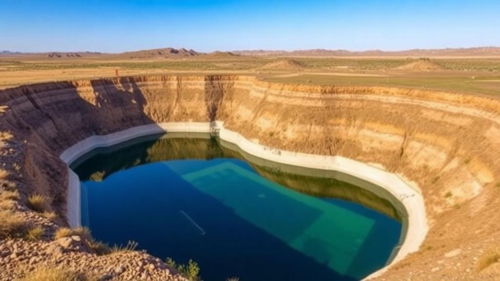
In the semi-arid foothills of southeastern Kazakhstan, a team of hydrogeologists has done something that most computer-driven water studies never bother to do: they walked out to the site their maps pointed to, dug in, and measured whether the ground could actually take the water. The result, published in Frontiers in Water, is a blueprint for turning seasonal river surges into a vast underground reservoir — and it may reshape how Central Asia plans for a drier future.
The study, led by researchers at the Akhmedsafin Institute of Hydrogeology and Environmental Geoscience at Satbayev University in Almaty, tackles a stubborn weakness in modern water science. Managed aquifer recharge, or MAR — the controlled injection of surface water into underground aquifers — has been widely adopted across Europe and North America as a hedge against drought. But most GIS-based studies stop at drawing colorful suitability maps. The hydrogeological feasibility of the sites they identify is rarely verified in the field, leaving planners with confident-looking pixels and no ground truth.
The Kazakh team built a two-stage framework to close that gap. In the first stage, they screened the Zhetysu Alatau–Balkhash First-Order Hydrogeological Basin — a sprawling 267,688 square kilometer region stretching from the glaciers of the Ile and Zhetysu Alatau ranges down to the shores of Lake Balkhash — using eight thematic criteria: groundwater depth, groundwater mineralization, slope, precipitation, soil type, drainage density, geology, and land cover. Each criterion was weighted using the Analytic Hierarchy Process, a pairwise comparison method formalized by Thomas Saaty in 1980, and the layers were combined through weighted overlay analysis in ArcGIS Pro.
The weights tell a story about what matters most when you want water to sink into the ground. Groundwater depth received the highest influence at 0.33, followed by mineralization at 0.23, slope at 0.16, and precipitation at 0.11. Soil, drainage density, geology, and land cover filled out the remainder. The consistency ratio of the comparison matrix came in at 0.0139, well below the accepted threshold of 0.10, meaning the expert judgments were internally coherent rather than arbitrary.
But the researchers knew that a single weighting scheme is only one opinion. To test how fragile their map was, they ran a Monte Carlo simulation of 200 iterations, randomly perturbing the criterion weights within ±10 percent and the raster values within ±3 percent. The ensemble produced a mean suitability index of 0.64 with a standard deviation of just 0.07 and a coefficient of variation of 0.11 — low enough to indicate that the spatial pattern of suitability is robust, not an artifact of one particular set of choices. In parallel, they ran a Fuzzy Gamma overlay, a nonlinear aggregation method that ignores the AHP weights entirely and integrates the layers through fuzzy membership values. The two approaches correlated moderately (Pearson’s r = 0.598), with the fuzzy method producing slightly lower estimates on average. The broad pattern held.
The regional screening classified 21.82 percent of the representative assessment area — 58.41 square kilometers — as very suitable for MAR. That figure is strikingly consistent with recent studies elsewhere: Martins and colleagues identified 22 percent of southern Portugal as highly feasible, while Chekirbane and colleagues reported about 19 percent of a Tunisian coastal watershed in the high-feasibility classes. The convergence suggests that semi-arid basins around the world share similar proportions of recharge-favorable terrain, and that the Kazakh methodology is measuring something real.
Then came the part that most studies skip. The team selected the Byzhy River Basin — a 5,500 square kilometer catchment fed by snowmelt and glacier melt from the Zhetysu Alatau — as a representative site and took their framework into the field. A UAV-based LiDAR survey using a DJI Matrice 350 RTK produced a digital elevation model at 5-centimeter resolution, revealing the microtopography that controls where surface water actually flows. The flow-direction analysis showed that runoff converges naturally toward the northeastern part of the study area, exactly where the proposed recharge site sits — a topographic gift that means river water can be conveyed to infiltration basins by gravity alone.
Three double-ring infiltrometer tests, conducted at sites TN-1, TN-2, and TN-3, measured the field-saturated hydraulic conductivity of the Quaternary alluvial deposits. The values ranged from 1.86 to 1.96 meters per day, with a mean of 1.92 meters per day — a narrow spread indicating spatially uniform, highly permeable surficial deposits. Crucially, these measurements were not used as input criteria in the regional AHP model, making them a genuinely independent test of whether the mapped suitability corresponds to real infiltration capacity. It does.
The hydrogeological setting sealed the case. The proposed MAR site sits within the Upper Quaternary and Recent alluvial aquifer, roughly 50 meters thick, consisting of boulders, gravel, and sands underlain by less permeable Pliocene formations that prevent infiltrated water from escaping downward. Groundwater mineralization within the proposed recharge area remains below 1 gram per liter, and hydrochemical analysis of 53 regional samples — interpreted through Piper and Durov diagrams — showed predominantly Ca–Mg–HCO₃–SO₄ water types, reducing the risk of salinization during long-term recharge operations.
The water accounting is where the vision becomes concrete. Long-term daily discharge records from the Karymsak and Aynabulak gaging stations gave a mean Byzhy River flow of 5.53 cubic meters per second. Adopting a conservative 10 percent allocation for recharge, the theoretical annual volume available is 17.44 million cubic meters. The effective aquifer storage capacity — calculated from the 50 square kilometer infiltration area, 50-meter thickness, and a specific yield of 0.30, minus annual groundwater discharge — comes to 746.8 million cubic meters. The proposed annual recharge represents just 2.33 percent of that capacity, meaning the aquifer could absorb decades of managed recharge without significantly altering its natural regime.
The conceptual scheme that emerges is elegant in its simplicity: during spring snowmelt, when the Byzhy River swells with excess flow, divert a portion to infiltration facilities and let gravity and permeable alluvium do the rest. Store the water underground as a strategic reserve. Then, during dry years or droughts, pump it back out for municipal, agricultural, and industrial use. This cyclic storage and recovery smooths out the brutal interannual variability that characterizes semi-arid Central Asian hydrology, where humid years alternate with droughts and dry winds, and where summer temperatures can reach 45°C while winter lows plunge to −40°C.
The implications extend well beyond one river basin. Central Asia has lagged behind Europe and North America in MAR adoption, with most regional studies relying on conventional GIS–AHP approaches that lack uncertainty assessment, field hydraulic validation, and high-resolution terrain analysis. This study is among the first in Kazakhstan to combine Monte Carlo simulation, Fuzzy Gamma analysis, LiDAR-based microtopographic mapping, double-ring infiltration testing, hydrochemical characterization, and quantitative water-availability assessment within a single regional-to-site framework. The close agreement between the regional screening and the field measurements demonstrates that the multi-scale approach substantially reduces the uncertainty that has plagued GIS-based MAR identification.
The researchers are candid about limitations. Field investigations covered a representative area, not the entire regional map, and continuous groundwater monitoring within the MAR site was not available, so the hydraulic interaction between the river and the aquifer could not be directly quantified across seasons. The storage assessment is static rather than transient, and future engineering design will require dedicated test wells, pumping and injection tests, and transient groundwater-flow modeling — likely with MODFLOW — to optimize well spacing, injection pressures, and long-term clogging behavior. Pilot-scale implementation and techno-economic assessment are the logical next steps.
Still, the framework offers something rare: a transferable methodology that links where water could go underground with whether it actually can. For Kazakhstan — and for the broader belt of semi-arid nations facing intensifying climate variability and growing water demand — the study transforms managed aquifer recharge from an attractive concept into a verifiable engineering proposition. The underground water bank of the Byzhy Basin may be empty today, but the vault is real, the deposits are measured, and the first withdrawals are already being planned.
Subject of Research: A field-verified multi-scale framework for managed aquifer recharge site identification in semi-arid Kazakhstan
Article Title: A multi-scale framework for identifying and validating managed aquifer recharge sites in semi-arid Kazakhstan
Article References: Onglassynov, Z., Kulbekova, S., Amanzholova, R., Abyshev, A., Alimgazina, A., Rakhmetov, I., & Absametov, M. (2026). A multi-scale framework for identifying and validating managed aquifer recharge sites in semi-arid Kazakhstan. Frontiers in Water, 8, Article 1932313. https://doi.org/10.3389/frwa.2026.1932313
Image Credits: AI Generated
DOI: 10.3389/frwa.2026.1932313
Keywords: managed aquifer recharge, groundwater, Kazakhstan, GIS, Analytic Hierarchy Process, Monte Carlo simulation, Byzhy River Basin, hydrogeology, infiltration testing, LiDAR, water scarcity, semi-arid
Cite Scienmag News
Violet Maxwell. (October 16, 2026). Kazakhstan’s Underground Water Bank: How Scientists Are Turning Rivers Into Drought Insurance. Scienmag. https://scienmag.com/kazakhstans-underground-water-bank-how-scientists-are-turning-rivers-into-drought-insurance/
Violet Maxwell. "Kazakhstan’s Underground Water Bank: How Scientists Are Turning Rivers Into Drought Insurance." Scienmag, 16 October 2026, https://scienmag.com/kazakhstans-underground-water-bank-how-scientists-are-turning-rivers-into-drought-insurance/. Accessed 16 October 2026.
Violet Maxwell. "Kazakhstan’s Underground Water Bank: How Scientists Are Turning Rivers Into Drought Insurance." Scienmag. October 16, 2026. https://scienmag.com/kazakhstans-underground-water-bank-how-scientists-are-turning-rivers-into-drought-insurance/


